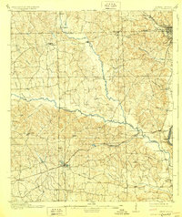
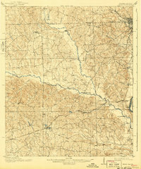
1914 Map of Seale
USGS Topo · Published 1928About this map
Seale serves as a focal point in this portion of Russell County, situated where the Central of Georgia railroad cuts through the landscape near Silver Lake. The map illustrates a transitional period for East Alabama, where early river-based sites like Burdock Landing and the military grounds of Fort Mitchell coexist with emerging rail-adjacent settlements. The northern edge shows the growing industrial interface between Phoenix City and Girard, while the interior remains a network of rural creek-side communities connected by a significant number of named river crossings.
Find a feature on this map
52 named features on this map. Tap any name to fly to it.
Don’t see what you’re looking for? This feature index may not catch every label — zoom into the map to look around manually.
Map Details
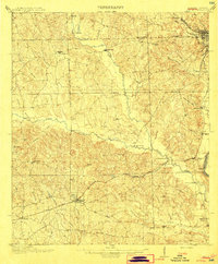
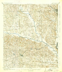
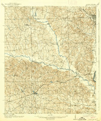
Editions of this 1914 Seale Map
6 editions found
Other maps of this area

1907 · Talbotton
USGS Topo · 1:125,000

1907 · Opelika
USGS Topo · 1:125,000

1908 · Columbus
USGS Topo · 1:62,500

1909 · Opelika
USGS Topo · 1:125,000

1914 · Seale
USGS Topo · 1:62,500

1929 · Columbus
USGS Topo · 1:48,000

1947 · Columbus
USGS Topo · 1:62,500

1949 · Fort Mitchell
USGS Topo · 1:24,000

1949 · Julia
USGS Topo · 1:24,000

1949 · Columbus
USGS Topo · 1:24,000