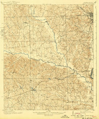
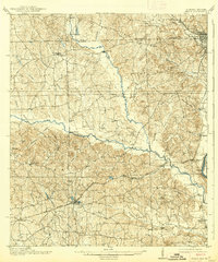
1914 Map of Seale
USGS Topo · Published 1943About this map
Uchee Creek serves as a central artery for this Russell County landscape, winding eastward toward the Chattahoochee River. The settlement of Seale sits at the junction of the Central of Georgia RR, which provided a critical link for the transport of goods and passengers across the interior. Near the river, the presence of Fort Mitchell and the Fort Benning Mil. Res. boundary highlights the area's strategic importance.
Find a feature on this map
47 named features on this map. Tap any name to fly to it.
Don’t see what you’re looking for? This feature index may not catch every label — zoom into the map to look around manually.
Map Details
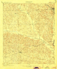
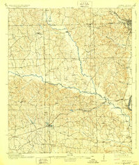
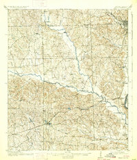
Editions of this 1914 Seale Map
6 editions found
Other maps of this area

1907 · Talbotton
USGS Topo · 1:125,000

1907 · Opelika
USGS Topo · 1:125,000

1908 · Columbus
USGS Topo · 1:62,500

1909 · Opelika
USGS Topo · 1:125,000

1914 · Seale
USGS Topo · 1:62,500

1929 · Columbus
USGS Topo · 1:48,000

1947 · Columbus
USGS Topo · 1:62,500

1949 · Fort Mitchell
USGS Topo · 1:24,000

1949 · Julia
USGS Topo · 1:24,000

1949 · Columbus
USGS Topo · 1:24,000