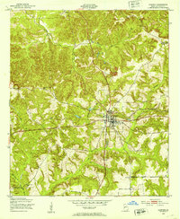
1950 Map of Lumpkin
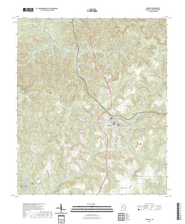
USGS Topo · Published 1955About this map
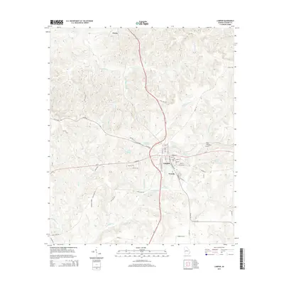
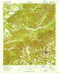
Lumpkin serves as the focal point of this 1950s Georgia-Alabama borderland, where the Chattahoochee River carves a winding boundary between Stewart and Russell counties. The landscape is defined by its deep erosion and agricultural heritage, most notably the striking Providence Canyons and numerous family landholdings such as Heard Place and Gillis Place. These scattered homesteads and the presence of the Stewart County Prison Farm reflect a rural economy transitioning into the mid-20th century.
Find a feature on this map
56 named features on this map. Tap any name to fly to it.
Don’t see what you’re looking for? This feature index may not catch every label — zoom into the map to look around manually.
Map Details
Editions of this 1950 Lumpkin Map
This is the sole edition of this map. No revisions or reprints were ever made.
Historical Maps of Lumpkin Through Time
9 maps found