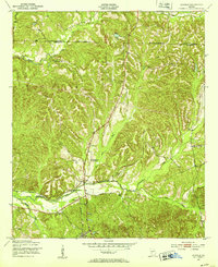
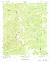
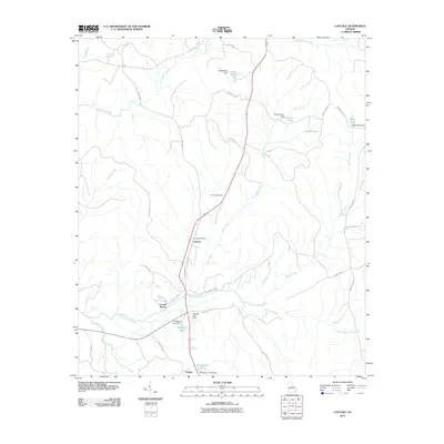
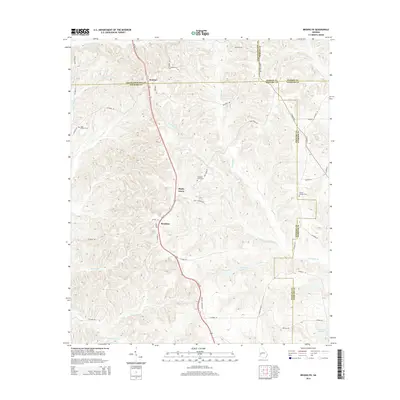
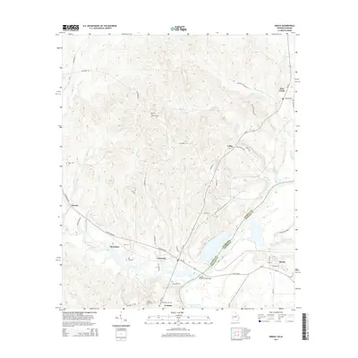
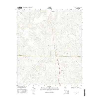
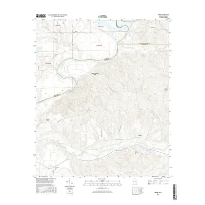
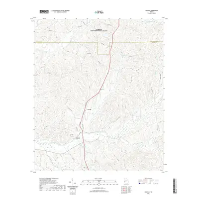
1955 Map of Lumpkin SW
USGS Topo · Published 1959About this map
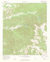
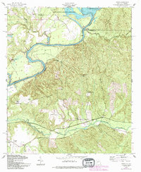
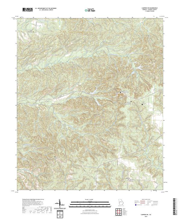
Providence Canyons dominates the landscape of Stewart County in this mid-century survey, revealing the striking erosion patterns that defined this section of Georgia. The area is dotted with small rural landmarks that speak to the local community's structure, including Mount Moriah Ch and the nearby Bryan Sch. The terrain is deeply incised by numerous waterways such as Turner Creek, Talipahoga Creek, and Ichabuckler Creek, which flow through the complex topography. Evidence of local industry is visible near Blue Springs Branch, where a Strip Mine is noted on the hillsides. Genealogists will find significant value in the location of several remote burial grounds and family-named sites, including the James Templeton Cem, Elam Cem, and Stephen Chapel, all of which are mapped with precision alongside the prominent Providence Tower.
Find a feature on this map
25 named features on this map. Tap any name to fly to it.
Don’t see what you’re looking for? This feature index may not catch every label — zoom into the map to look around manually.
Map Details
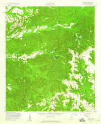
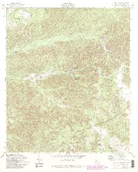
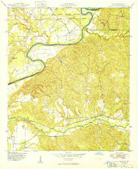
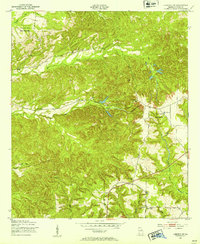
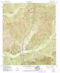
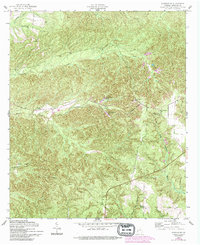
Editions of this 1955 Lumpkin SW Map
4 editions found
Historical Maps of Beatrice Through Time
45 maps found
1949 Julia
Stewart County, GA
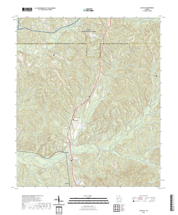
1950 Louvale
Stewart County, GA
1950 Lumpkin SW
Stewart County, GA
1955 Louvale
Stewart County, GA
1955 Lumpkin SW
Stewart County, GA
1955 Union
Stewart County, GA
1957 Omaha
Stewart County, GA
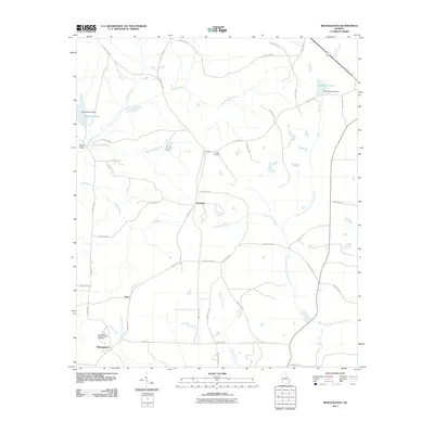
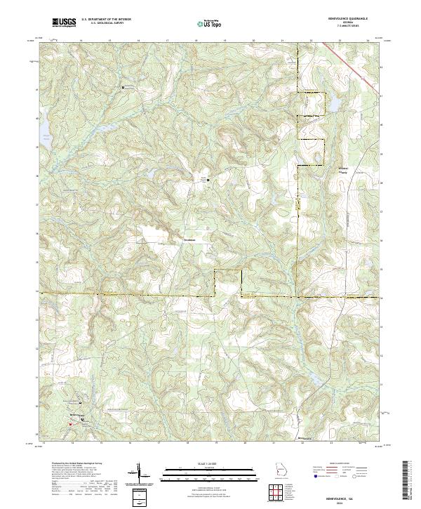
1972 Benevolence
Stewart County, GA
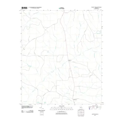
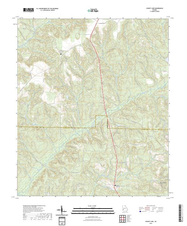
1972 County Line
Stewart County, GA
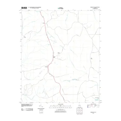
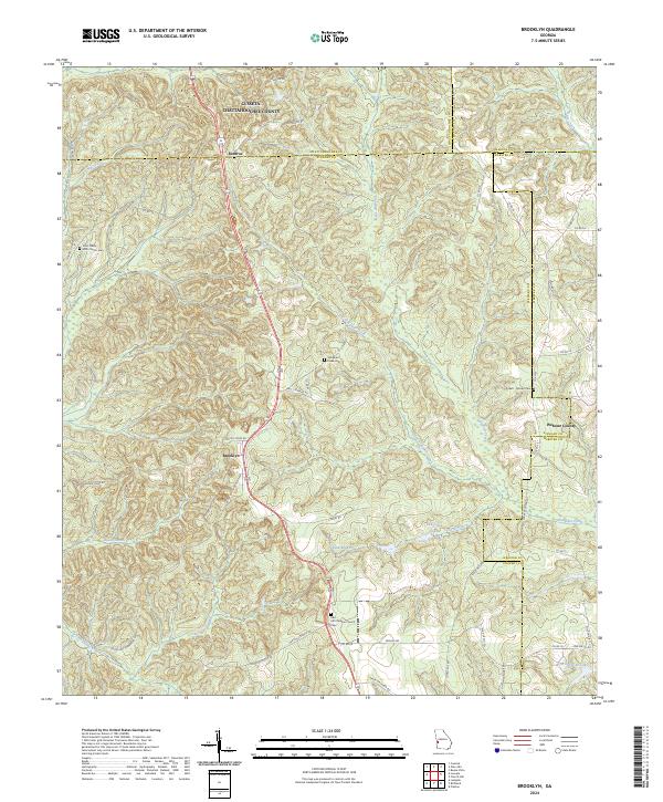
1973 Brooklyn
Stewart County, GA
2011 Benevolence
Stewart County, GA
2011 Brooklyn
Stewart County, GA
2011 County Line
Stewart County, GA
2011 Louvale
Stewart County, GA
2011 Lumpkin SW
Stewart County, GA
2011 Omaha
Stewart County, GA
2011 Union
Stewart County, GA

2014 Benevolence
Stewart County, GA
2014 Brooklyn
Stewart County, GA
2014 County Line
Stewart County, GA
2014 Louvale
Stewart County, GA
2014 Lumpkin SW
Stewart County, GA
2014 Omaha
Stewart County, GA
2014 Union
Stewart County, GA
2017 Benevolence
Stewart County, GA
2017 Brooklyn
Stewart County, GA
2017 County Line
Stewart County, GA
2017 Louvale
Stewart County, GA
2017 Lumpkin SW
Stewart County, GA
2017 Omaha
Stewart County, GA
2017 Union
Stewart County, GA
2020 Benevolence
Stewart County, GA
2020 Brooklyn
Stewart County, GA
2020 County Line
Stewart County, GA
2020 Louvale
Stewart County, GA
2020 Lumpkin SW
Stewart County, GA
2020 Omaha
Stewart County, GA
2020 Union
Stewart County, GA
2024 Benevolence
Stewart County, GA
2024 Brooklyn
Stewart County, GA
2024 County Line
Stewart County, GA
2024 Louvale
Stewart County, GA
2024 Lumpkin SW
Stewart County, GA
2024 Omaha
Stewart County, GA
2024 Union
Stewart County, GA