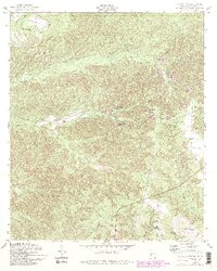
1955 Map of Lumpkin SW
USGS Topo · Published 1993About this map
Providence Canyon State Park defines the central landscape of this Stewart County survey, where the dramatic erosion of the Providence Canyons is meticulously documented alongside geologic features like the North Glory Hole and South Glory Hole. The map reveals a rural community structured around its spiritual and educational centers, including Mount Moriah Ch in the northwest and Stephen Chapel to the east. The terrain is deeply dissected by a network of waterways such as Tulipahoga Creek and Ichabuckler Creek, which influenced early settlement patterns. Cultural details like the Etam Cem and small schools like Bryan Sch provide essential clues for genealogists tracking family land in this corner of Georgia. Revisions from 1988 show modern changes, such as a Strip Mine, overlaid on the traditional agricultural landscape of the mid-20th century.
Find a feature on this map
24 named features on this map. Tap any name to fly to it.
Don’t see what you’re looking for? This feature index may not catch every label — zoom into the map to look around manually.
Map Details
Editions of this 1955 Lumpkin SW Map
4 editions found

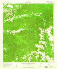
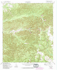
Other maps of this area

1949 · Julia
USGS Topo · 1:24,000

1950 · Louvale
USGS Topo · 1:24,000

1950 · Lumpkin
USGS Topo · 1:24,000

1950 · Lumpkin SW
USGS Topo · 1:24,000

1950 · Lumpkin
USGS Topo · 1:62,500

1953 · Dothan
USGS Topo · 1:250,000

1954 · Dothan
USGS Topo · 1:250,000

1955 · Dothan
USGS Topo · 1:250,000

1955 · Lumpkin
USGS Topo · 1:24,000
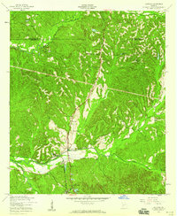
1955 · Louvale
USGS Topo · 1:24,000