Old Maps of Arles, Americus for Genealogy
Trace your family roots with 10 historic maps of Arles. These high-res maps reveal old neighborhoods, homesites, landmarks, and streets — helping you uncover where your ancestors lived and how the area evolved over time.
- Explore historic neighborhoods: Identify where your relatives may have lived in the 1800s or 1900s.
- Compare maps over time: Trace the changes in streets, buildings, and landmarks for multi-generational research.
- Perfect for genealogy & ancestry research: Used by family historians and researchers to map out lineage and migration.
These maps are an incredible resource for exploring your personal connection to Arles's past.
Arles, Americus maps
(10)- 1955 Map of Phenix City, 1964 Print
 1955 Phenix City1964 Print · USGSPost-war Alabama and Georgia meet along the Chattahoochee River as industry and military installations expand. Trace the rail lines of the Central of Georgia through towns like Opelika, Tuskegee, and Alexander City.3 unique versions available
 - 1957 Map of Phenix City
 1957 Phenix City1957 Print · USGSThe Alabama-Georgia borderlands are captured here in the mid-fifties, centered on the bustling river crossing at Phenix City and Columbus. Researchers can trace the mid-century footprint of the Fort Benning Military Reservation or locate smaller textile and railroad towns like Langdale and Camp Hill.
 - 1958 Map of Phenix City
 1958 Phenix City1958 Print · USGSThe Alabama-Georgia borderlands thrive during the late fifties, anchored by the river-driven industry of Columbus and Phenix City. Researchers can trace the mid-century footprints of Fort Benning, Auburn, and the textile towns of Fairfax and Lanett.
 - 1973 Map of Americus, 1975 Print
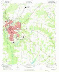 1973 Americus1975 Print · USGSAmericus was a thriving South Georgia center in the mid-1970s, defined by its historic college campus and a busy junction of multiple rail lines. Genealogists and historians can trace family roots through numerous sites like Mt Moriah Ch, Gatewood Cem, and Souther Field.2 unique versions available
 - 1981 Map of Americus, 1982 Print
 1981 Americus1982 Print · USGSWest Georgia and East Alabama appear here during the early 1980s, showcasing the transition from military reservation to agricultural heartland. Researchers can trace the Central of Georgia rail lines through towns like Plains, Ellaville, and the historic site of Andersonville.
 - 2011 Map of Americus, 2011 Print
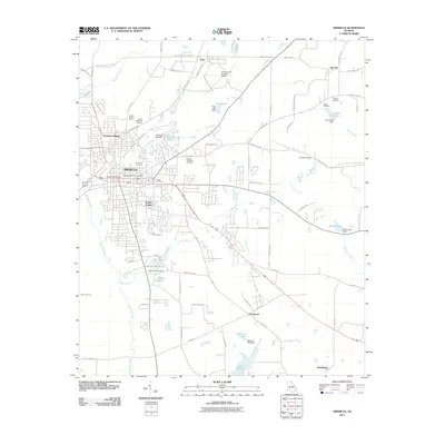 2011 Americus2011 Print · USGSCovers Arles, including Americus, Gatewood, and other nearby areas
 - 2014 Map of Americus, 2014 Print
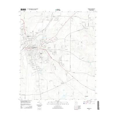 2014 Americus2014 Print · USGSCovers Arles, including Americus, Gatewood, and other nearby areas
 - 2017 Map of Americus, 2017 Print
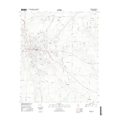 2017 Americus2017 Print · USGSCovers Arles, including Americus, Gatewood, and other nearby areas
 - 2020 Map of Americus, 2020 Print
 2020 Americus2020 Print · USGSCovers Arles, including Americus, Gatewood, and other nearby areas
 - 2024 Map of Americus, 2024 Print
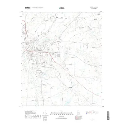
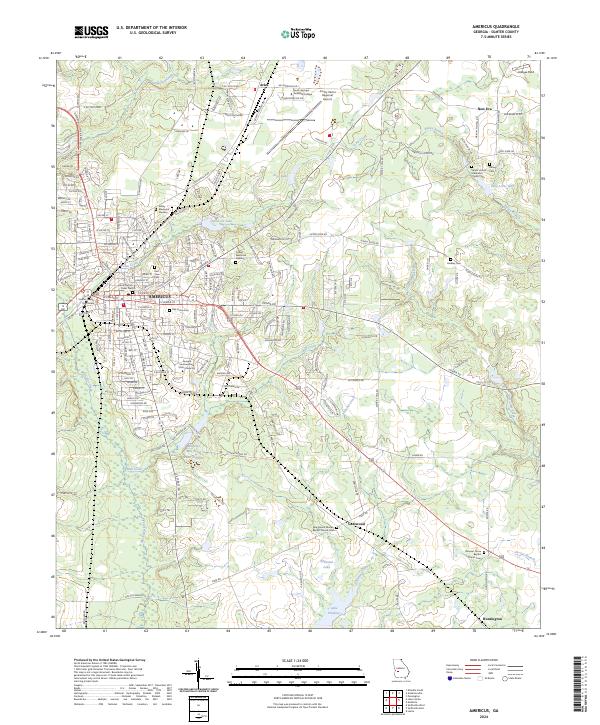 2024 Americus2024 Print · USGSAmericus and its Sumter County surroundings are documented in detail at the start of the 2020s. Researchers can locate numerous local landmarks like the Sumter County Courthouse, Oak Grove Cem, and New Era while tracing the waters of Muckalee Creek.
End of results
Showing maps 1-10 of 10
Top cities near Arles
- Americus historical maps
- Montezuma historical maps
- Ellaville historical maps
- Oglethorpe historical maps
- Plains historical maps
- Smithville historical maps
See more
Frequently asked questions
- What are the different types of historical maps available for Arles?
- What is the oldest map of Arles?
- Where can I purchase historical maps of Arles for my home or office?
- Where can I download high-res historical maps of Arles?
- Are there historical topographic maps available for Arles?
- Is there historical aerial imagery available for Arles?
- Where are historical maps of Arles sourced from?