Old Maps of Concord, Georgia
Explore 10 old maps of Concord, spanning from 1955 to today. These high-resolution historic maps reveal how streets, neighborhoods, landmarks, and natural features evolved over time — perfect for genealogy, metal detecting, research, and local history exploration.
What you can do with these maps:
- See how Concord changed over time: Compare historical maps to modern-day views to trace roads, homesites, rail lines & more.
- View detailed metadata: Each map includes creators, publishers, year, scale, and archive source.
- Overlay maps with satellite & LiDAR: Visualize the past alongside modern tools to explore terrain & human change.
- Trusted historical sources: Maps sourced from the USGS, Library of Congress, and other archives.
- Access maps your way: View online, download high-res files, or order prints for personal or research use.
Start exploring old maps of Concord to uncover forgotten places, hidden landmarks, and the deep history beneath your feet.
Concord, GA maps
(10)- 1955 Map of Phenix City, 1964 Print
 1955 Phenix City1964 Print · USGSPost-war Alabama and Georgia meet along the Chattahoochee River as industry and military installations expand. Trace the rail lines of the Central of Georgia through towns like Opelika, Tuskegee, and Alexander City.3 unique versions available
 - 1957 Map of Phenix City
 1957 Phenix City1957 Print · USGSThe Alabama-Georgia borderlands are captured here in the mid-fifties, centered on the bustling river crossing at Phenix City and Columbus. Researchers can trace the mid-century footprint of the Fort Benning Military Reservation or locate smaller textile and railroad towns like Langdale and Camp Hill.
 - 1958 Map of Phenix City
 1958 Phenix City1958 Print · USGSThe Alabama-Georgia borderlands thrive during the late fifties, anchored by the river-driven industry of Columbus and Phenix City. Researchers can trace the mid-century footprints of Fort Benning, Auburn, and the textile towns of Fairfax and Lanett.
 - 1973 Map of Draneville, 1975 Print
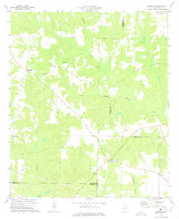 1973 Draneville1975 Print · USGSThe rural crossroads of Marion County are preserved here during the 1970s, showing a landscape of family farms and creek-bottom timber. Genealogists can trace local landmarks like Mt Carmel Ch, the Mt Carmel Cem, and the settlement at Friendship.
 - 1981 Map of Americus, 1982 Print
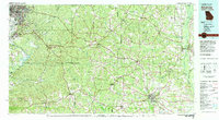 1981 Americus1982 Print · USGSWest Georgia and East Alabama appear here during the early 1980s, showcasing the transition from military reservation to agricultural heartland. Researchers can trace the Central of Georgia rail lines through towns like Plains, Ellaville, and the historic site of Andersonville.
 - 2011 Map of Draneville, 2011 Print
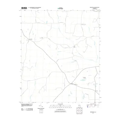 2011 Draneville2011 Print · USGSWestern Sumter County is captured here in the early twenty-first century, showing a rural landscape shaped by winding creek systems. Researchers can trace family history through the Mount Carmel and Friendship Cemetery or locate landmarks like the Ira Kelly Bridge.
 - 2014 Map of Draneville, 2014 Print
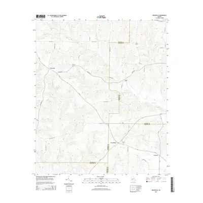 2014 Draneville2014 Print · USGSThis rural Georgia landscape at the intersection of four counties shows a deeply rooted agricultural and creek-fed community. Genealogists can trace family heritage at Frasier Smith Cem and Mt Carmel Cem or locate the old Ira Kelly Bridge over the Muckalee.
 - 2017 Map of Draneville, 2017 Print
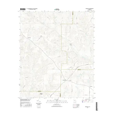 2017 Draneville2017 Print · USGSMarion and Sumter counties meet in this corner of Southwest Georgia during the late 2010s, where small rural communities remain tied to the land. Genealogists can locate family landmarks like Frasier-Smith Cem, Ira Kelly Bridge, and the settlement of Draneville.
 - 2020 Map of Draneville, 2020 Print
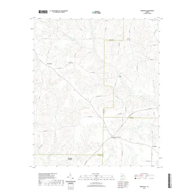 2020 Draneville2020 Print · USGSThe crossroads of several Georgia counties come together here in the modern day, showing a landscape of family-named roads and rural settlements. Genealogists can trace local roots at Mount Carmel Cem, Friendship Cem, and the historic Ira Kelly Bridge.
 - 2024 Map of Draneville, 2024 Print
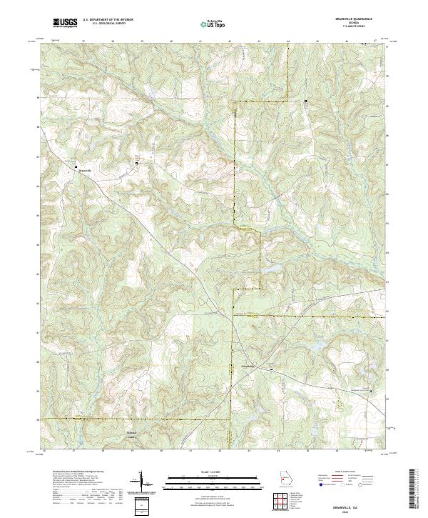 2024 Draneville2024 Print · USGSMarion and Schley counties are shown here as they appeared in recent years, dominated by winding creek branches and rural farm roads. Local historians can trace family roots through sites like Frasier Smith Cem and the Concord Methodist Church.
End of results
Showing maps 1-10 of 10
Top cities near Concord
- Americus historical maps
- Buena Vista historical maps
- Ellaville historical maps
- Plains historical maps
- Smithville historical maps
- Preston historical maps
See more
Frequently asked questions
- What are the different types of historical maps available for Concord?
- What is the oldest map of Concord?
- Where can I purchase historical maps of Concord for my home or office?
- Where can I download high-res historical maps of Concord?
- Are there historical topographic maps available for Concord?
- Is there historical aerial imagery available for Concord?
- Where are historical maps of Concord sourced from?