Old Maps of Taliaferro County, Georgia for Hiking & Exploration
Hike through history with 64 historic maps of Taliaferro County. Explore old trails, ghost towns, and forgotten backroads — perfect for outdoor adventurers and local explorers.
- Rediscover forgotten places: Map out old mining camps, roads, and footpaths that no longer exist on modern maps.
- Layer with modern tools: Combine with LiDAR or satellite views to plan hikes through historical terrain.
- Made for exploration: Popular among hikers, overlanders, and local history lovers.
Use these maps to find adventure and explore the hidden past of Taliaferro County.
Taliaferro County, GA maps
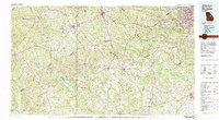
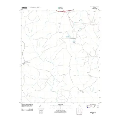
(64)- 1906 Map of Crawfordville
 1906 Crawfordville1906 Print · USGSUpper Georgia and the South Carolina border come alive in this early century survey, showing a landscape defined by river ferries and mining sites. Genealogists can trace family roots through old post offices like Triplett P.O. or find historic crossings like Fishdam Ferry and the Columbia Mines.3 unique versions available
 - 1953 Map of Athens, 1966 Print
 1953 Athens1966 Print · USGSGeorgia's Piedmont and Savannah River borderlands come alive in this mid-century survey of the region surrounding Athens and Augusta. Trace the rail-and-river economy through the Georgia RR and landmarks like the Fort Gordon Military Reservation.3 unique versions available
 - 1958 Map of Athens
 1958 Athens1958 Print · USGSNorth-central Georgia and the Savannah River valley are captured in the late fifties, showing the region as the new reservoirs were filling. Researchers can trace historic rail lines like the Georgia RR and locate rural landmarks such as Social Circle, Graves Mountain, and the Fort Gordon Military Reservation.
 - 1959 Map of Athens
 1959 Athens1959 Print · USGSNortheast Georgia and the South Carolina borderlands appear here in the mid-fifties, during a decade of infrastructure growth. Genealogists and historians can trace the rail-and-river geography of towns like Social Circle, the sprawl of Fort Gordon Military Reservation, and the newly formed Clark Hill Reservoir.
 - 1963 Map of Athens
 1963 Athens1963 Print · USGSGeorgia's Piedmont and the Savannah River valley are captured in the early sixties as major reservoirs and military installations reshaped the landscape. Researchers can trace the development of Clark Hill Reservoir, locate the Fort Gordon Military Reservation, and find historic towns like Social Circle and Eatonton.
 - 1965 Map of Union Point, 1966 Print
 1965 Union Point1966 Print · USGSUnion Point and Siloam are captured during the mid-sixties as vital rural hubs in Greene County. Researchers can trace local heritage through landmarks like the Wesleyan Campground, Jefferson Hall, and the Buffalo Lick Monument.3 unique versions available
 - 1966 Map of Philomath, 1967 Print
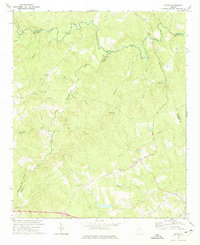
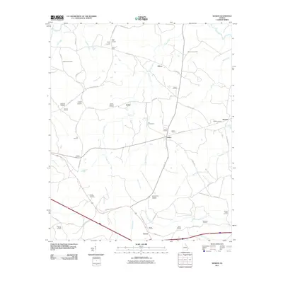
 1966 Philomath1967 Print · USGSWilkes and Taliaferro counties are shown in the mid-sixties, a period when rural Georgia was still dotted with small community centers and country chapels. Researchers can trace family roots at Philomath, Daniel Springs, or Thaxton Cem and locate many local landmarks like Victory Ch.2 unique versions available
 - 1966 Map of Crawfordville, 1967 Print
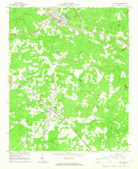
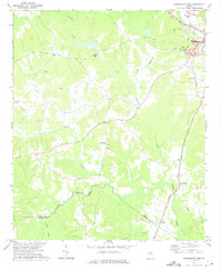
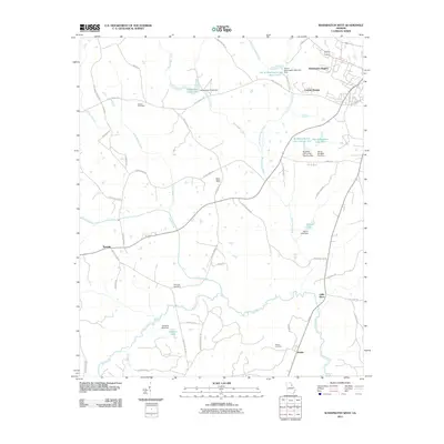
 1966 Crawfordville1967 Print · USGSTaliaferro County is captured in the mid-sixties, centered on the railroad town of Crawfordville and its surrounding agricultural land. Genealogists and local historians can locate rural landmarks like Stephens Chapel, the Stephens Institute, and the crossroads at Robinson.3 unique versions available
 - 1972 Map of Sharon, 1974 Print
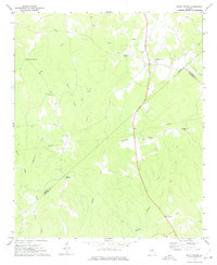
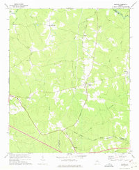 1972 Sharon1974 Print · USGSTaliaferro County in the early seventies is characterized here by its quiet rural crossroads and winding creek networks. Genealogists can trace family roots through landmarks like Mt Olive Ch, Raytown, and the small community of Sharon.2 unique versions available
 - 1972 Map of Sparta NW, 1974 Print
 1972 Sparta NW1974 Print · USGSThe intersection of Hancock, Taliaferro, and Greene counties comes into focus during the early seventies, showing a landscape of traditional Georgia farmsteads and waterways. Researchers can trace family history through sites like Powelton, Battery Ch, and the Dixon Cem.2 unique versions available
 - 1972 Map of Cadley, 1974 Print
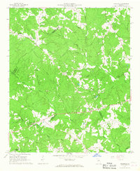
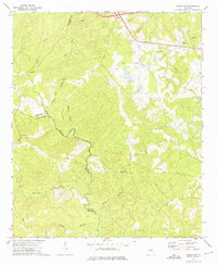
 1972 Cadley1974 Print · USGSThe Georgia Piedmont at the start of the seventies is captured here as a landscape of rural congregations and family-named creeks. Genealogists can trace the location of South Liberty Church, Ebenezer Cem, and the Fountain Campground near Cadley.
 - 1972 Map of White Plains, 1975 Print
 1972 White Plains1975 Print · USGSThe Georgia countryside at the junction of Greene, Hancock, and Taliaferro Counties is captured here in the early seventies. Genealogists can locate family landmarks such as Pierce Chapel, Mosquito Crossing, and Centennial Ch among the many creeks and hollows.2 unique versions available
 - 1972 Map of Washington West, 1975 Print
 1972 Washington West1975 Print · USGSWilkes County enters the 1970s with its rural character intact, anchored by the western outskirts of Washington and the waters of the Little River. Researchers can trace local heritage through landmarks like Bethel Church, Simpson Cemetery, and the Georgia Railroad line.2 unique versions available
 - 1972 Map of Sparta NE, 1975 Print
 1972 Sparta NE1975 Print · USGSNortheast of Sparta in the early seventies, this rural landscape centers on the historic settlement of Powelton and the Ogeechee River. Genealogists and local historians can trace rural landmarks like New Hope Ch, Greenwood Ch, and the Barnett Lookout Tower.2 unique versions available
 - 1980 Map of Athens, 1981 Print
 1980 Athens1981 Print · USGSNorth Georgia in the early eighties exhibits a landscape of growing university towns and deep-rooted rail hubs. Genealogists can trace family lands near Social Circle or Watkinsville while following the routes of the Central of Georgia and the Appalachee River.2 unique versions available
 - 1980 Map of Clark Hill Lake, 1981 Print
 1980 Clark Hill Lake1981 Print · USGSThe Georgia and South Carolina borderlands in the early eighties were defined by the expansive Clark Hill Lake and the winding Savannah River. Genealogists and historians can trace rail lines like the Georgia Railroad, find the De La Howe State School, and locate rural centers like Tignall and Appling.
 - 1981 Map of Milledgeville
 1981 Milledgeville1981 Print · USGSMiddle Georgia in the early eighties shows a landscape shaped by major reservoirs and deep forests. Genealogists and historians can trace the rail networks of the Southern and Central of Georgia through towns like Monticello and Eatonton.2 unique versions available
 - 1981 Map of Thomson, 1982 Print
 1981 Thomson1982 Print · USGSEast Georgia in the early eighties shows a transition from the urban fringes of Augusta to the deep river valleys of the Savannah River and Ogeechee River. Genealogists and historians can trace rail-side communities like Boneville, Camak, and Mesena along the historic Georgia railroad line.
 - 1988 Map of Athens
 1988 Athens1988 Print · USGSThe Georgia Piedmont and South Carolina borderlands appear in the late eighties as a landscape of vast reservoirs and growing towns. Researchers can trace the legacy of the Georgia RR connecting Athens and Augusta, or locate landmarks within Oconee National Forest.
 - 2011 Map of Union Point, 2011 Print
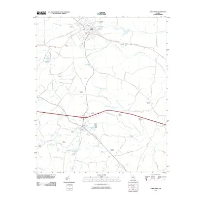 2011 Union Point2011 Print · USGSCovers Taliaferro County, including Union Point, White Plains, and other nearby areas
 - 2011 Map of White Plains, 2011 Print
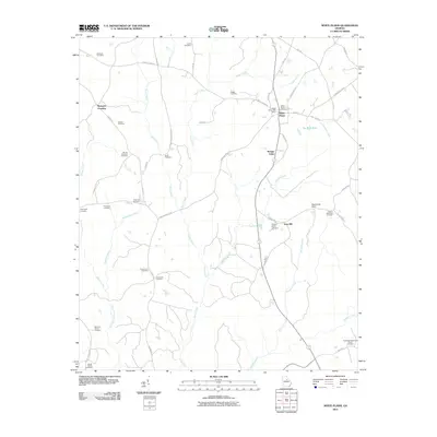 2011 White Plains2011 Print · USGSCovers Taliaferro County, including White Plains, Mosquito Crossing, and other nearby areas
 - 2011 Map of Cadley, 2011 Print
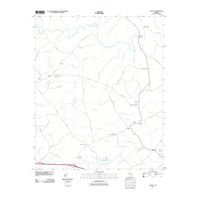 2011 Cadley2011 Print · USGSCovers Taliaferro County, including Cadley, Thigpen, and other nearby areas
 - 2011 Map of Sparta NE, 2011 Print
 2011 Sparta NE2011 Print · USGSCovers Taliaferro County, including Powelton, Hancock County, and other nearby areas
 - 2011 Map of Washington West, 2011 Print
 2011 Washington West2011 Print · USGSCovers Taliaferro County, including Washington, Lincoln Heights, and other nearby areas
 - 2011 Map of Sharon, 2011 Print
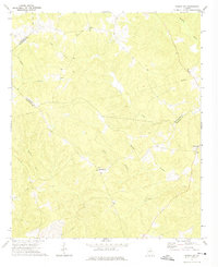
 2011 Sharon2011 Print · USGSCovers Taliaferro County, including Sharon, Deerlick Astronomy Village, and other nearby areas
Showing maps 1-25 of 64
Top cities of Taliaferro County
Frequently asked questions
- What are the different types of historical maps available for Taliaferro County?
- What is the oldest map of Taliaferro County?
- Where can I purchase historical maps of Taliaferro County for my home or office?
- Where can I download high-res historical maps of Taliaferro County?
- Are there historical topographic maps available for Taliaferro County?
- Is there historical aerial imagery available for Taliaferro County?
- Where are historical maps of Taliaferro County sourced from?