Old Maps of Tallulah Falls, Georgia for Academic Research
Study the evolution of Tallulah Falls with 25 high-resolution historic maps. Whether you're teaching, researching, or modeling changes in land use, these maps provide essential visual documentation of urban, environmental, and geographic change.
- Analyze long-term change: Track patterns in development, transportation, and natural features.
- Ideal for environmental or urban studies: Support academic projects with primary historical map data.
- Use in the classroom or lab: Educators and researchers rely on these maps to bring historical context to life.
These maps are a powerful tool for teaching, research, and visualizing how Tallulah Falls has changed over the decades.
Tallulah Falls, GA maps
(25)- 1886 Map of Walhalla
 1886 Walhalla1886 Print · USGSThe foothills of the Blue Ridge come alive in this late nineteenth-century survey of the Georgia and South Carolina borderlands. Genealogists and historians can trace the early rail networks through Walhalla and Toccoa, or locate family landmarks like Batchelor's Retreat and Mosley's Mill.
 - 1892 Map of Walhalla
 1892 Walhalla1892 Print · USGSThe tri-state border region of Georgia and the Carolinas comes alive in this late nineteenth-century survey. Genealogists and historians can trace family-named landmarks like Young Davis's or locate river crossings like Jenkins's Ferry and the Bachelors Retreat P.O.7 unique versions available
 - 1896 Map of Walhalla
 1896 Walhalla1896 Print · USGSThe tri-state mountain country comes alive in this late 1800s survey of the Oconee and Habersham borderlands. Researchers can trace early river commerce and transit through Ramsey Ferry, the tracks of the Blue Ridge Railroad, and the industrial site of Mosley Mill.
 - 1953 Map of Tallulah Falls, 1954 Print
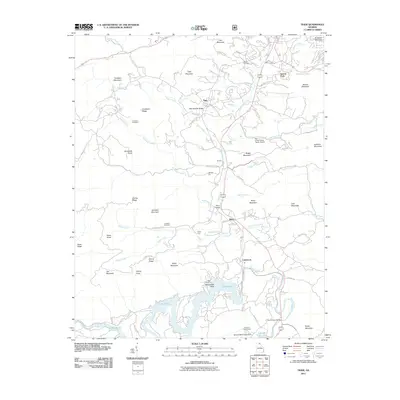
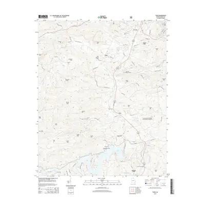
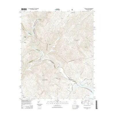
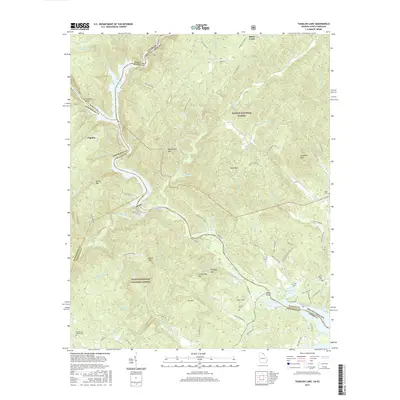
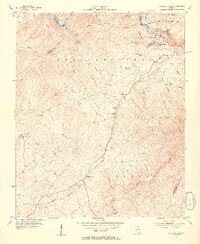 1953 Tallulah Falls1954 Print · USGSNortheast Georgia's dramatic mountain corridor is captured here in the early fifties, centering on the town of Tallulah Falls and its famous river gorge. You can trace early infrastructure and community landmarks like the Incline Railway, Tallulah Falls Sch, and Kollock Cem.4 unique versions available
 - 1954 Map of Greenville, 1965 Print
 1954 Greenville1965 Print · USGSThe Upstate and Northeast Georgia are captured here during a decade of massive transformation as new reservoirs reshaped the Piedmont. Genealogists and hikers can trace the Appalachian Trail over Brasstown Bald or locate old community centers like Demorest, Westminster, and Royston.3 unique versions available
 - 1957 Map of Tiger, 1958 Print
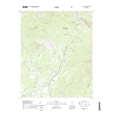
 1957 Tiger1958 Print · USGSThe Rabun County mountains and the Tallulah Falls rail corridor are shown in the 1950s before the landscape modernised. Trace family-named landmarks like Crukleton Cem, rural sites like Screamer Sch, and the winding Tallulah Falls railroad.4 unique versions available
 - 1957 Map of Tugaloo Lake, 1958 Print
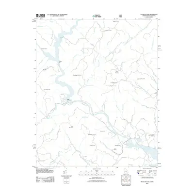
 1957 Tugaloo Lake1958 Print · USGSThe river borders of Georgia and South Carolina come alive in the 1950s as they wind through the deep mountain forests of Rabun and Oconee counties. Researchers can trace the hydroelectric developments at Tugaloo Lake or locate family landmarks like Prather Bridge and Old Liberty Ch.4 unique versions available
 - 1958 Map of Greenville
 1958 Greenville1958 Print · USGSThe Piedmont and Blue Ridge foothills come alive in this mid-century survey of the Upstate and Northeast Georgia. Trace the regional rail-and-river economy through the Southern Railway corridors and early reservoir developments like Lake Sidney Lanier.
 - 1981 Map of Toccoa, 1982 Print
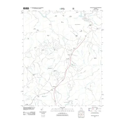
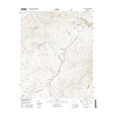
 1981 Toccoa1982 Print · USGSThe tri-state mountain region where Georgia meets the Carolinas is shown here in the early eighties. Genealogists and historians can trace family-named locations and settlements from Dahlonega to Tallulah Falls, along with the Southern rail corridor.2 unique versions available
 - 1997 Map of Tugaloo Lake, 2001 Print
 1997 Tugaloo Lake2001 Print · USGSThe Georgia and South Carolina borderlands are defined by the winding Tugaloo River and its reservoirs in the late nineties. Genealogists can trace rural life through landmarks like Old Liberty Church, Bethlehem School, and the Prather Bridge crossing.
 - 2011 Map of Tiger, 2011 Print
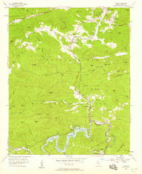
 2011 Tiger2011 Print · USGSCovers Tallulah Falls, including Clayton, Tiger, and other nearby areas
 - 2011 Map of Tallulah Falls, 2011 Print
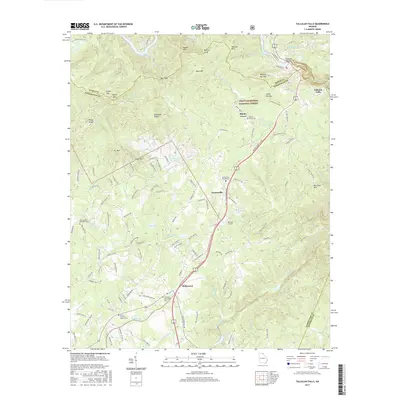
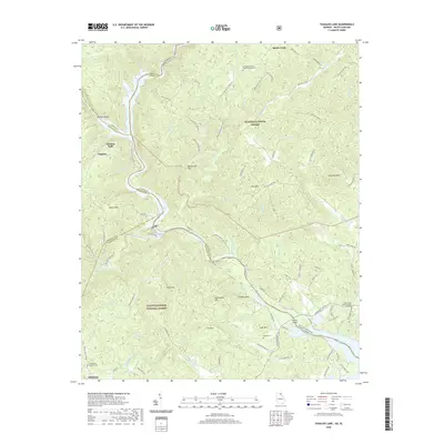
 2011 Tallulah Falls2011 Print · USGSCovers Tallulah Falls, including Hollywood, Turnerville, and other nearby areas
 - 2011 Map of Tugaloo Lake, 2011 Print
 2011 Tugaloo Lake2011 Print · USGSCovers Tallulah Falls, including Toccoa, Tugaloo, and other nearby areas
 - 2014 Map of Tiger, 2014 Print
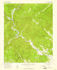
 2014 Tiger2014 Print · USGSCovers Tallulah Falls, including Clayton, Tiger, and other nearby areas
 - 2014 Map of Tugaloo Lake, 2014 Print
 2014 Tugaloo Lake2014 Print · USGSCovers Tallulah Falls, including Toccoa, Tugaloo, and other nearby areas
 - 2014 Map of Tallulah Falls, 2014 Print
 2014 Tallulah Falls2014 Print · USGSCovers Tallulah Falls, including Hollywood, Turnerville, and other nearby areas
 - 2017 Map of Tallulah Falls, 2017 Print
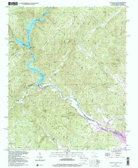
 2017 Tallulah Falls2017 Print · USGSCovers Tallulah Falls, including Hollywood, Turnerville, and other nearby areas
 - 2017 Map of Tiger, 2017 Print
 2017 Tiger2017 Print · USGSCovers Tallulah Falls, including Clayton, Tiger, and other nearby areas
 - 2017 Map of Tugaloo Lake, 2017 Print
 2017 Tugaloo Lake2017 Print · USGSCovers Tallulah Falls, including Toccoa, Tugaloo, and other nearby areas
 - 2020 Map of Tallulah Falls, 2020 Print
 2020 Tallulah Falls2020 Print · USGSCovers Tallulah Falls, including Hollywood, Turnerville, and other nearby areas
 - 2020 Map of Tugaloo Lake, 2020 Print
 2020 Tugaloo Lake2020 Print · USGSCovers Tallulah Falls, including Toccoa, Tugaloo, and other nearby areas
 - 2020 Map of Tiger, 2020 Print
 2020 Tiger2020 Print · USGSCovers Tallulah Falls, including Clayton, Tiger, and other nearby areas
 - 2024 Map of Tiger, 2024 Print
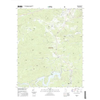
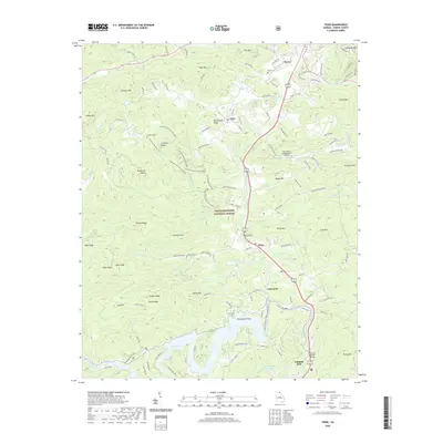
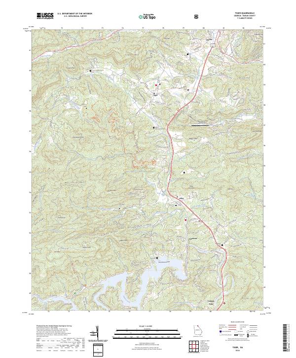 2024 Tiger2024 Print · USGSNortheast Georgia's high country is captured here in recent years, showing the communities of Tiger and Wiley along the historic 441 corridor. Researchers can locate family landmarks like Crukleton Cem and Bethel Baptist Church among the peaks of the Chattahoochee National Forest.
 - 2024 Map of Tallulah Falls, 2024 Print
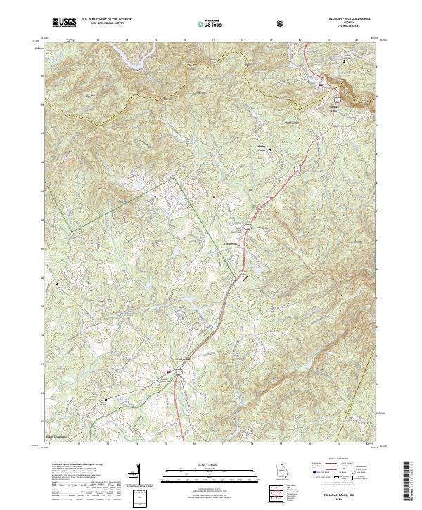 2024 Tallulah Falls2024 Print · USGSThe hills of Habersham County are captured here in the 2020s, showing the enduring mountain communities and sacred sites of the northeast Georgia highlands. Researchers can trace family history at Tallulah Falls Cem or locate the quiet hamlet of Shirley Grove and the Rockin R Airport.
 - 2024 Map of Tugaloo Lake, 2024 Print
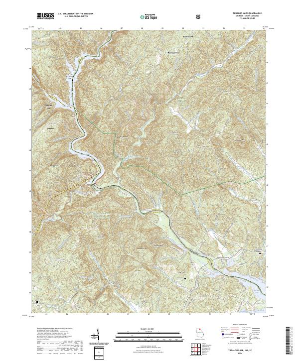 2024 Tugaloo Lake2024 Print · USGSThe Georgia and South Carolina borderlands appear in high detail at the confluence of the Tallulah River and Tugaloo River. Researchers can trace local lineage at Damascus Baptist Church Graveyard or find the river crossing at McCracken Ford.
End of results
Showing maps 1-25 of 25
Top cities near Tallulah Falls
- Toccoa historical maps
- Cornelia historical maps
- Baldwin historical maps
- Clayton historical maps
- Clarkesville historical maps
- Demorest historical maps
See more
Top neighborhoods of Tallulah Falls
Frequently asked questions
- What are the different types of historical maps available for Tallulah Falls?
- What is the oldest map of Tallulah Falls?
- Where can I purchase historical maps of Tallulah Falls for my home or office?
- Where can I download high-res historical maps of Tallulah Falls?
- Are there historical topographic maps available for Tallulah Falls?
- Is there historical aerial imagery available for Tallulah Falls?
- Where are historical maps of Tallulah Falls sourced from?