Old Maps of Madison Grove, Thomas County for Metal Detecting
Plan your next treasure hunt with 11 historic maps of Madison Grove. Find old homesites, ghost towns, trails, and gathering spots that may be lost to time — perfect for identifying promising metal detecting locations.
- Locate forgotten sites: Uncover places like long-lost settlements, abandoned rail lines, or gathering spots.
- Plan better hunts: Use map overlays combined with LiDAR or satellite views to narrow in on historically rich areas.
- Made for detectorists: Thousands of hobbyists use these maps to discover relics, coins, and hidden history.
Use these historic maps to boost your research and find new opportunities beneath the surface of Madison Grove.
Madison Grove, Thomas County maps
(11)- 1954 Map of Valdosta, 1967 Print
 1954 Valdosta1967 Print · USGSThe South Georgia and North Florida borderlands are captured here in the mid-fifties, showing the deep timber and wetland networks of the coastal plain. Researchers can trace the path of the Atlantic Coast Line through Valdosta or explore the interior of the Okefenokee Swamp.2 unique versions available
 - 1957 Map of Thomasville, 1959 Print
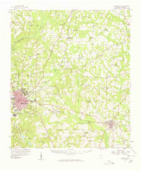 1957 Thomasville1959 Print · USGSThomas County during the late fifties shows a landscape of growing towns and established rail corridors. Genealogists and historians can trace numerous rural communities and landmarks like Merrillville, the Confederate Bridge, and Bethlehem Cem.
 - 1958 Map of Valdosta
 1958 Valdosta1958 Print · USGSSouth Georgia and North Florida are captured here in the mid-fifties, showing the vast Okefenokee Swamp and the vital timber and rail corridors connecting the two states. Researchers can locate the footprint of Moody Air Force Base, trace the Live Oak Perry and Gulf railroad, or find early community sites like Bakers Mill and Paradise Church.
 - 1959 Map of Valdosta
 1959 Valdosta1959 Print · USGSThe Georgia-Florida borderlands in the mid-fifties reveal a landscape of massive blackwater swamps and emerging military aviation hubs. Genealogists and historians can trace rail-stop towns like Fargo and Stockton or explore the interior reaches of the Okefenokee Swamp and Billys Island.
 - 1975 Map of Thomasville, 1977 Print
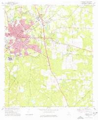 1975 Thomasville1977 Print · USGSThomasville in the mid-seventies is a hub of industry and regional healthcare, crisscrossed by the Seaboard Coast Line. Genealogists and researchers can trace family roots through numerous sites like Laurel Hill Cem, Beulah Cem, and Archbold Memorial Hospital.2 unique versions available
 - 1981 Map of Valdosta
 1981 Valdosta1981 Print · USGSCrossing the Georgia and Florida border in the early eighties, this survey captures the agricultural and military landscape of the coastal plain. Genealogists and historians can trace the rail-linked growth of Valdosta and Quitman or find rural landmarks like New Hope Church and Lake Miccosukee.
 - 2011 Map of Thomasville, 2011 Print
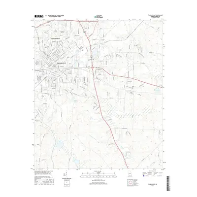
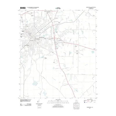 2011 Thomasville2011 Print · USGSCovers Madison Grove, including Thomasville, Theodore Heights, and other nearby areas
 - 2014 Map of Thomasville, 2014 Print
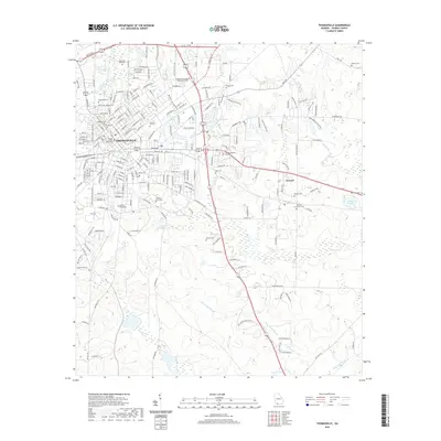
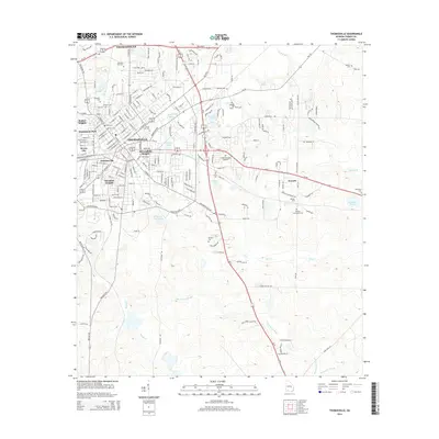 2014 Thomasville2014 Print · USGSCovers Madison Grove, including Thomasville, Theodore Heights, and other nearby areas
 - 2017 Map of Thomasville, 2017 Print
 2017 Thomasville2017 Print · USGSCovers Madison Grove, including Thomasville, Theodore Heights, and other nearby areas
 - 2020 Map of Thomasville, 2020 Print
 2020 Thomasville2020 Print · USGSCovers Madison Grove, including Thomasville, Theodore Heights, and other nearby areas
 - 2024 Map of Thomasville, 2024 Print
 2024 Thomasville2024 Print · USGSThomasville and the surrounding plantation country appear in high detail during the early 2020s. Genealogists can locate numerous burial sites like Laurel Hill Cem and Peaceful Rest Cem, while tracing the landscape around Andrews Lake and Newark.
End of results
Showing maps 1-11 of 11
Frequently asked questions
- What are the different types of historical maps available for Madison Grove?
- What is the oldest map of Madison Grove?
- Where can I purchase historical maps of Madison Grove for my home or office?
- Where can I download high-res historical maps of Madison Grove?
- Are there historical topographic maps available for Madison Grove?
- Is there historical aerial imagery available for Madison Grove?
- Where are historical maps of Madison Grove sourced from?