2020s Maps of Troup County, Georgia
Explore 32 historic maps of Troup County from the 2020s. These maps offer a rare glimpse into what life looked like during the 2020s — showing old roads, neighborhoods, homes, and landmarks that have changed or disappeared over time.
Whether you're researching your family's past, planning a metal detecting trip, or studying how Troup County's landscape evolved across the 2020s, these high-resolution maps are a powerful tool for exploring the history of this region.
- Focus on a specific era: All maps on this page are from the 2020s, giving you a focused view of this time period.
- See what’s changed: Compare century-old streets, trails, and buildings to today's modern landscape using overlays and satellite layers.
- Research with precision: Use these maps for genealogy, historical research, land use analysis, or educational projects.
- View, download, or print: Maps are fully viewable online in high resolution, and can be downloaded or printed for your own records.
Start exploring Troup County's history through authentic maps from the 2020s. This is your window into the past.
Troup County, GA maps
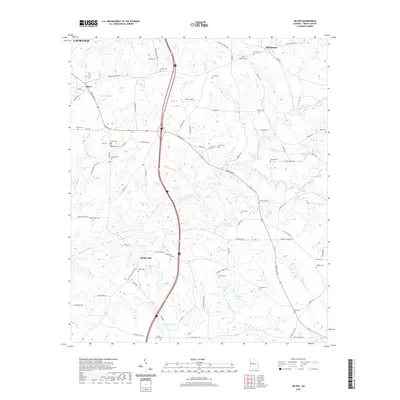
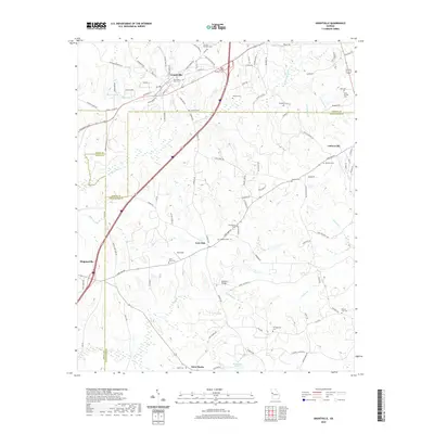
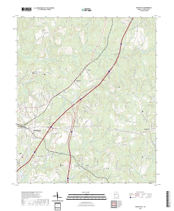
(32)- 2020 Map of Mountville, 2020 Print
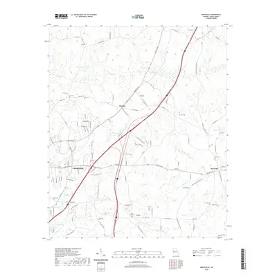 2020 Mountville2020 Print · USGSCovers Troup County, including LaGrange, Knott, and other nearby areas
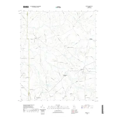
 - 2020 Map of Odessadale, 2020 Print
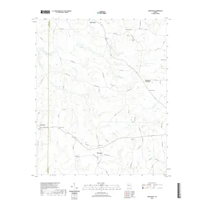 2020 Odessadale2020 Print · USGSCovers Troup County, including Saint Marks, Odessadale, and other nearby areas
 - 2020 Map of Hogansville, 2020 Print
 2020 Hogansville2020 Print · USGSCovers Troup County, including Hogansville, Lakeview Meadows, and other nearby areas
 - 2020 Map of Glenn, 2020 Print
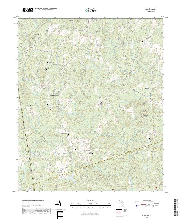
 2020 Glenn2020 Print · USGSCovers Troup County, including Denver, Texas, and other nearby areas
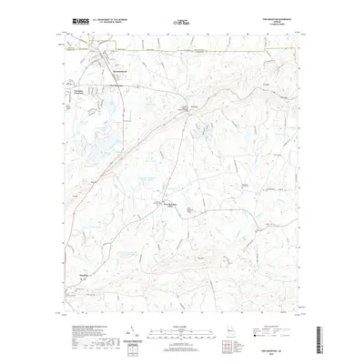
 - 2020 Map of Pine Mountain SW, 2020 Print
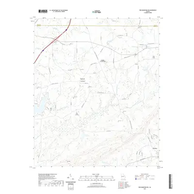 2020 Pine Mountain SW2020 Print · USGSCovers Troup County, including Hamilton, Hopewell, and other nearby areas
 - 2020 Map of Durand, 2020 Print
 2020 Durand2020 Print · USGSCovers Troup County, including Pine Mountain, Oak Grove, and other nearby areas
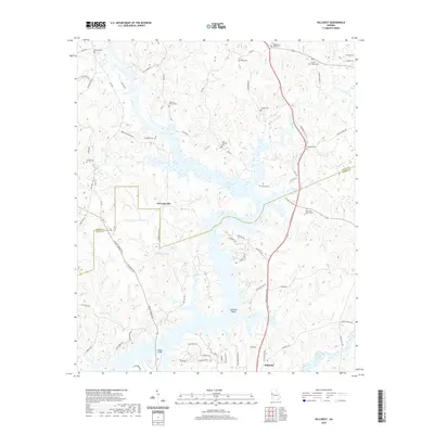
 - 2020 Map of Hilyer, 2020 Print
 2020 Hilyer2020 Print · USGSCovers Troup County, including LaGrange, Pleasant Grove, and other nearby areas
 - 2020 Map of Cannonville, 2020 Print
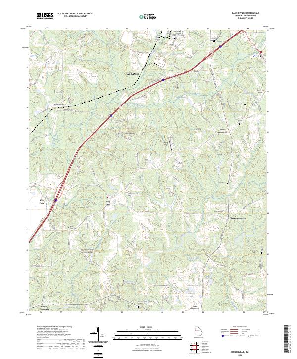
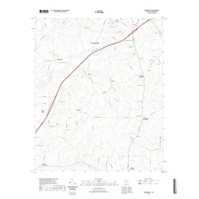 2020 Cannonville2020 Print · USGSCovers Troup County, including LaGrange, West Point, and other nearby areas
 - 2020 Map of Hillcrest, 2020 Print
 2020 Hillcrest2020 Print · USGSCovers Troup County, including Hillcrest, Indian Bend, and other nearby areas
 - 2020 Map of La Grange, 2020 Print
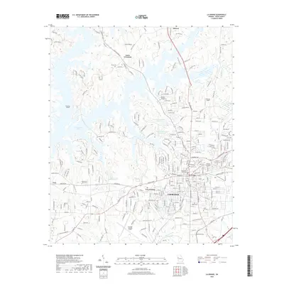 2020 La Grange2020 Print · USGSCovers Troup County, including LaGrange, The Crossings, and other nearby areas
 - 2020 Map of Pine Mountain, 2020 Print
 2020 Pine Mountain2020 Print · USGSCovers Troup County, including Pine Mountain, Hamilton, and other nearby areas
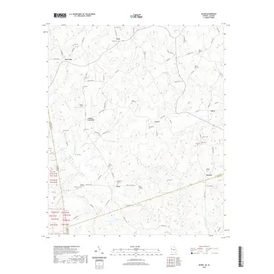
 - 2020 Map of Abbottsford, 2020 Print
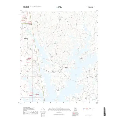 2020 Abbottsford2020 Print · USGSCovers Troup County, including Whitewater Woods, McCosh Mill, and other nearby areas
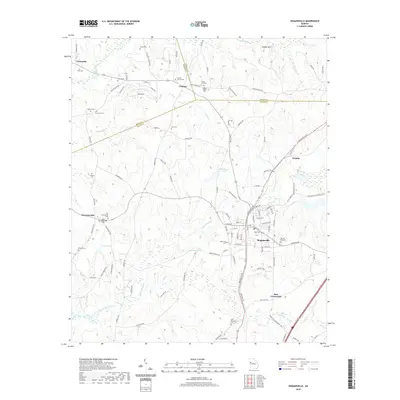
 - 2020 Map of Grantville, 2020 Print
 2020 Grantville2020 Print · USGSCovers Troup County, including Grantville, Hogansville, and other nearby areas
 - 2020 Map of Whitesville, 2020 Print
 2020 Whitesville2020 Print · USGSCovers Troup County, including Pine Lake, Shady Grove, and other nearby areas
 - 2020 Map of Lanett North, 2020 Print
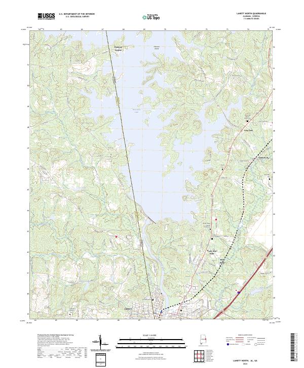
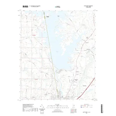 2020 Lanett North2020 Print · USGSCovers Troup County, including Lanett, West Point, and other nearby areas
 - 2020 Map of Lanett South, 2020 Print
 2020 Lanett South2020 Print · USGSCovers Troup County, including Valley, Lanett, and other nearby areas
 - 2024 Map of Durand, 2024 Print
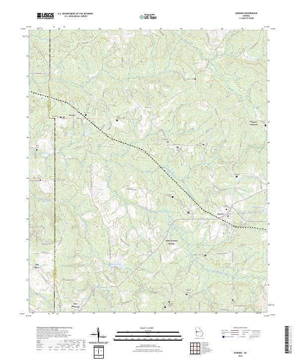 2024 Durand2024 Print · USGSThe Meriwether County countryside comes into focus in this contemporary survey, showing the rural landscapes between Stovall and the northern slopes of Pine Mountain. Genealogists can trace family heritage across more than a dozen local burial sites, including Trinity Church Cem, Greer and Robertson Cem, and Ogletree Cem.
 - 2024 Map of Odessadale, 2024 Print
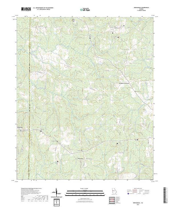 2024 Odessadale2024 Print · USGSThe Meriwether and Troup county line comes alive in this contemporary view of rural Georgia's crossroads and country roads. Researchers can trace family history through numerous burial sites including Florence Cem, Needmore Cem, and the Branch Hebron Cem.
 - 2024 Map of Hilyer, 2024 Print
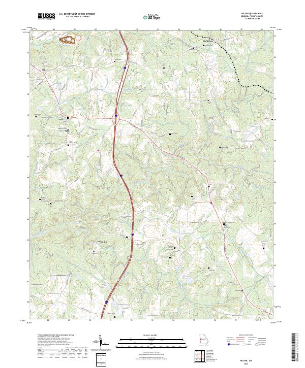 2024 Hilyer2024 Print · USGSTroup County's rural communities and numerous family burial sites are well-documented in this recent Georgia survey. Genealogists and local historians can trace legacy sites like Smiths Mill, the Sturdivant Cem, and Oak Grove Christian Church across this landscape.
 - 2024 Map of Abbottsford, 2024 Print
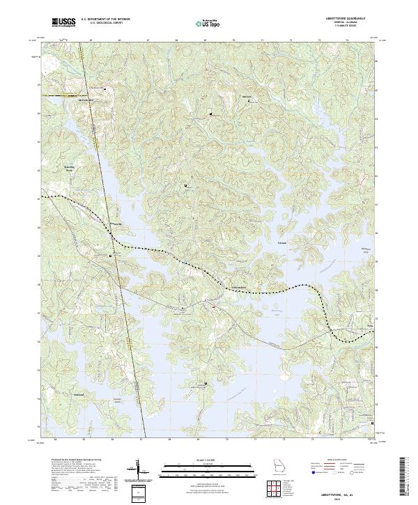 2024 Abbottsford2024 Print · USGSThe Georgia and Alabama state line meets along the Chattahoochee River valley in this modern survey of the West Point Lake region. Genealogists and local historians can trace legacy sites like McCosh Mill, Hawthorn Ferry, and the Bethlehem Cem.
 - 2024 Map of Glenn, 2024 Print
 2024 Glenn2024 Print · USGSHeard County on the Georgia-Alabama border retains its traditional rural character in the early twenty-first century. Genealogists can trace family history through dozens of localized burial sites like Mount Carry Cem, Union Grove Cem, and Persons Cem.
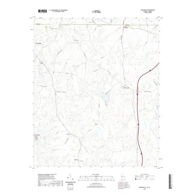
 - 2024 Map of Mountville, 2024 Print
 2024 Mountville2024 Print · USGSEastern Troup County is captured here in its modern rural character, showing the landscape between the outskirts of LaGrange and Mountville. Genealogists can locate numerous family burial grounds like Old Shiloh Cem and Heard Cem near the banks of Shoal Creek.
 - 2024 Map of Cannonville, 2024 Print
 2024 Cannonville2024 Print · USGSTroup County in the 2020s remains a landscape of historic crossroads and country churches despite modern growth near LaGrange. Researchers can locate several family-named burial grounds like Oak Grove Cem and community hubs like Gray Hill or Jones Crossroads.
 - 2024 Map of Lanett North, 2024 Print
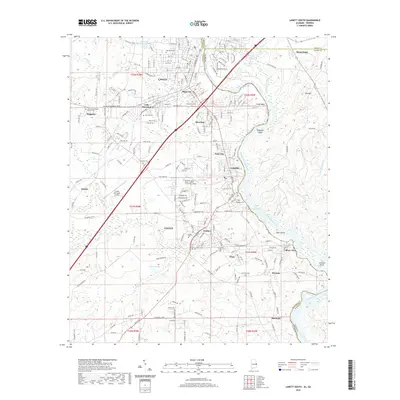
 2024 Lanett North2024 Print · USGSSettlements along the Alabama and Georgia border are mapped here in the modern era, centered on the river and its reservoirs. Genealogists can locate Fort Tyler Cem, Traylor Cem, and churches like Long Cane Baptist Church Cem.
 - 2024 Map of Lanett South, 2024 Print
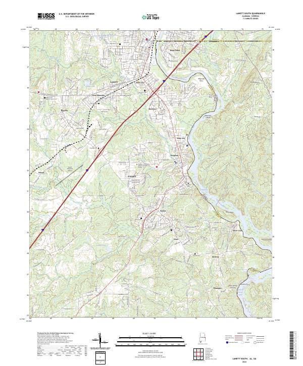 2024 Lanett South2024 Print · USGSThe Chattahoochee River valley comes alive in this survey of Chambers County, where mill towns and river crossings define the borderlands. Genealogists can trace family roots through sites like Greenwood Baptist Church Cem and Pine Hill Cem.
Showing maps 1-25 of 32
Top cities of Troup County
Frequently asked questions
- What are the different types of historical maps available for Troup County?
- What is the oldest map of Troup County?
- Where can I purchase historical maps of Troup County for my home or office?
- Where can I download high-res historical maps of Troup County?
- Are there historical topographic maps available for Troup County?
- Is there historical aerial imagery available for Troup County?
- Where are historical maps of Troup County sourced from?