Old Maps of Hogansville, Georgia for Academic Research
Study the evolution of Hogansville with 16 high-resolution historic maps. Whether you're teaching, researching, or modeling changes in land use, these maps provide essential visual documentation of urban, environmental, and geographic change.
- Analyze long-term change: Track patterns in development, transportation, and natural features.
- Ideal for environmental or urban studies: Support academic projects with primary historical map data.
- Use in the classroom or lab: Educators and researchers rely on these maps to bring historical context to life.
These maps are a powerful tool for teaching, research, and visualizing how Hogansville has changed over the decades.
Hogansville, GA maps
(16)- 1953 Map of Atlanta, 1965 Print
 1953 Atlanta1965 Print · USGSThe growing Atlanta metro and the industrial corridors of Eastern Alabama are captured here during the mid-century transition. Researchers can trace the rail-to-road shift through hubs like Anniston and La Grange or locate sites within Fort McClellan.2 unique versions available
 - 1957 Map of Atlanta
 1957 Atlanta1957 Print · USGSAtlanta and the Alabama borderlands appear here in the mid-fifties, capturing the region's post-war suburban and industrial transition. Trace the development of early transport hubs and military sites like Fort McPherson, Anniston, and the Kennesaw Mountain National Battlefield Park.
 - 1958 Map of Atlanta
 1958 Atlanta1958 Print · USGSMid-century Georgia and Alabama are shown in this regional study of the corridor between the Chattahoochee River and the Appalachian foothills. Local historians can trace the development of suburban Atlanta alongside vital landmarks like Stone Mountain, Dobbins AFB, and the Seaboard Air Line rail routes.
 - 1964 Map of Hogansville, 1965 Print
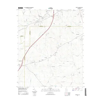
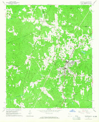 1964 Hogansville1965 Print · USGSHogansville and its surrounding crossroads are captured here in the mid-1960s, showing a landscape defined by the Atlanta and West Point rail line. Genealogists can trace family landmarks like Myrtle Hill Cemetery and old rural meeting places such as Harmonia Ch or Corinth.3 unique versions available
 - 1964 Map of Grantville, 1966 Print
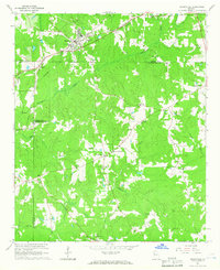 1964 Grantville1966 Print · USGSWest-central Georgia at the height of the sixties is documented here as the railroad corridor connects rural communities across three counties. Genealogists can trace family names at Holly Springs Cem or locate the High Sch and St Pauls Ch in the Lone Oak area.3 unique versions available
 - 1979 Map of Griffin, 1980 Print
 1979 Griffin1980 Print · USGSWest-central Georgia at the close of the seventies reveals a landscape of historic rail towns and growing suburbs between the major river systems. Trace the rail lines and early road networks connecting Griffin, Peachtree City, and Newnan, or locate smaller settlements like Senoia and Experiment.3 unique versions available
 - 2011 Map of Grantville, 2011 Print
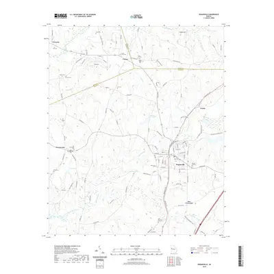
 2011 Grantville2011 Print · USGSCovers Hogansville, including Grantville, Luthersville, and other nearby areas
 - 2011 Map of Hogansville, 2011 Print
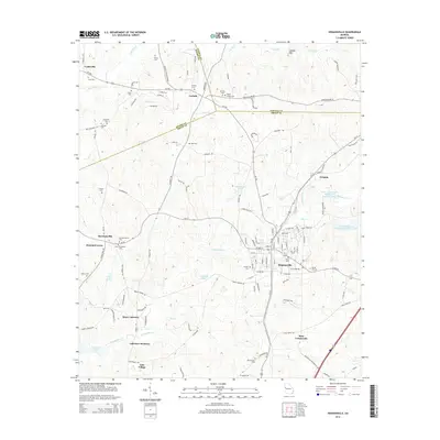
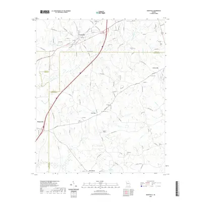
 2011 Hogansville2011 Print · USGSCovers Hogansville, including Lakeview Meadows, Hammett Acres, and other nearby areas
 - 2014 Map of Grantville, 2014 Print
 2014 Grantville2014 Print · USGSCovers Hogansville, including Grantville, Luthersville, and other nearby areas
 - 2014 Map of Hogansville, 2014 Print
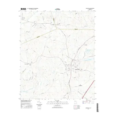
 2014 Hogansville2014 Print · USGSCovers Hogansville, including Lakeview Meadows, Hammett Acres, and other nearby areas
 - 2017 Map of Hogansville, 2017 Print
 2017 Hogansville2017 Print · USGSCovers Hogansville, including Lakeview Meadows, Hammett Acres, and other nearby areas
 - 2017 Map of Grantville, 2017 Print
 2017 Grantville2017 Print · USGSCovers Hogansville, including Grantville, Luthersville, and other nearby areas
 - 2020 Map of Hogansville, 2020 Print
 2020 Hogansville2020 Print · USGSCovers Hogansville, including Lakeview Meadows, Hammett Acres, and other nearby areas
 - 2020 Map of Grantville, 2020 Print
 2020 Grantville2020 Print · USGSCovers Hogansville, including Grantville, Luthersville, and other nearby areas
 - 2024 Map of Grantville, 2024 Print
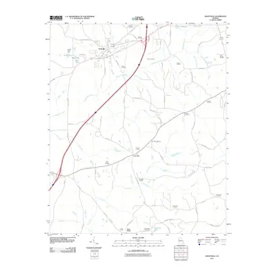
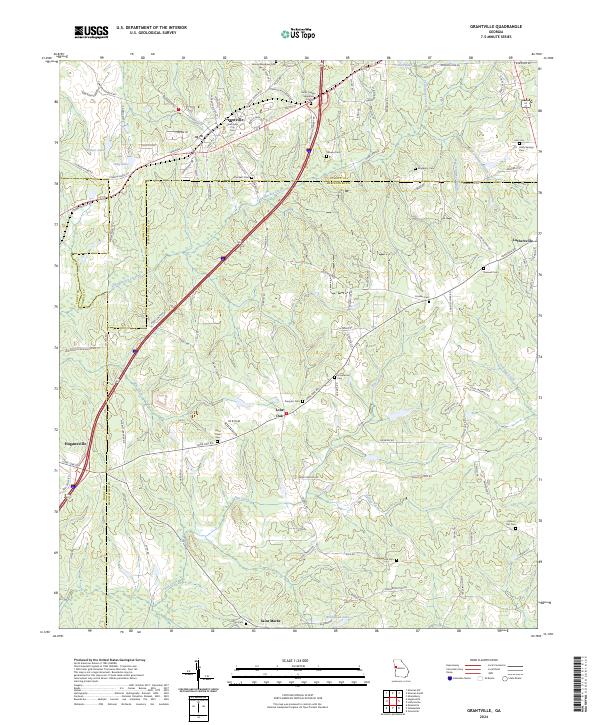 2024 Grantville2024 Print · USGSWest Georgia's rural landscape is captured here in the contemporary era at the meeting point of Coweta and Meriwether counties. Genealogists and historians can locate numerous community landmarks such as Holly Springs Cem, Lone Oak, and the Grantville City Cem.
 - 2024 Map of Hogansville, 2024 Print
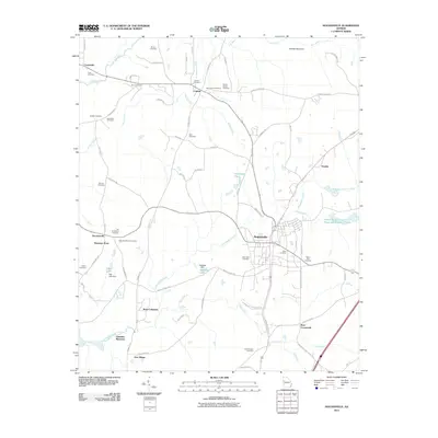
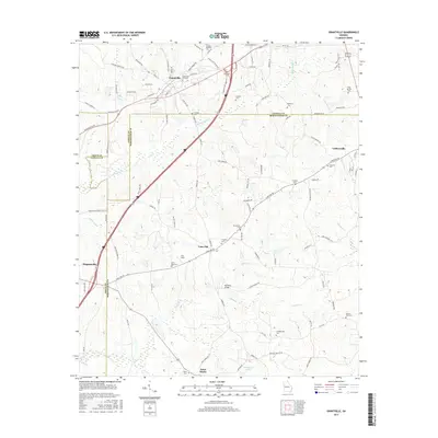
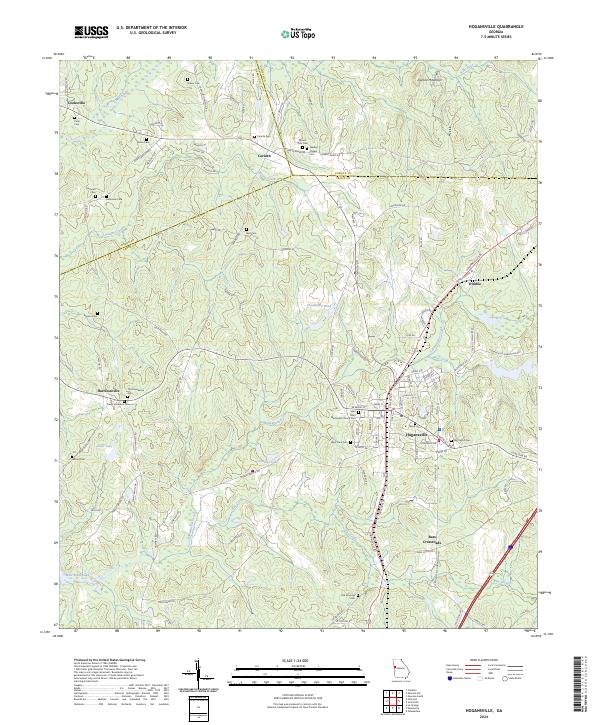 2024 Hogansville2024 Print · USGSTroup County and the surrounding rural landscape are detailed in this recent survey of the region's long-established crossroads and rail corridors. Genealogists can trace family connections at Myrtle Hill Cem, Word Cem, and the historic Saint Mary Methodist Church Cem.
End of results
Showing maps 1-16 of 16
Top cities near Hogansville
- Newnan historical maps
- LaGrange historical maps
- Grantville historical maps
- East Newnan historical maps
- Franklin historical maps
- Greenville historical maps
See more
Frequently asked questions
- What are the different types of historical maps available for Hogansville?
- What is the oldest map of Hogansville?
- Where can I purchase historical maps of Hogansville for my home or office?
- Where can I download high-res historical maps of Hogansville?
- Are there historical topographic maps available for Hogansville?
- Is there historical aerial imagery available for Hogansville?
- Where are historical maps of Hogansville sourced from?