Old Maps of Villa Rica, Georgia for Hiking & Exploration
Hike through history with 34 historic maps of Villa Rica. Explore old trails, ghost towns, and forgotten backroads — perfect for outdoor adventurers and local explorers.
- Rediscover forgotten places: Map out old mining camps, roads, and footpaths that no longer exist on modern maps.
- Layer with modern tools: Combine with LiDAR or satellite views to plan hikes through historical terrain.
- Made for exploration: Popular among hikers, overlanders, and local history lovers.
Use these maps to find adventure and explore the hidden past of Villa Rica.
Villa Rica, GA maps
(34)- 1891 Map of Marietta
 1891 Marietta1891 Print · USGSNorth Georgia at the close of the nineteenth century is captured here as the railroad began to reshape the river-dependent landscape. Genealogists can locate family-named landmarks like Allens Mills or trace historic river crossings at Campbellton Fy and Hutchinsons Ferry.
 - 1895 Map of Marietta
 1895 Marietta1895 Print · USGSNorthwest Georgia in the 1890s appears as a landscape defined by the winding Chattahoochee River and the rapid expansion of iron rails. Genealogists can trace early family-named river crossings like Morris Ferry or explore the origins of Old Villarica and Bright Star.
 - 1897 Map of Marietta
 1897 Marietta1897 Print · USGSNorthwest Georgia in the late nineteenth century was a landscape defined by river crossings and expanding rail lines. Genealogists and historians can trace defunct river crossings like Pumpkintown Ferry and old industrial sites like Daniels Mills or Beatty Switch.
 - 1901 Map of Marietta
 1901 Marietta1901 Print · USGSNorthwest Georgia at the turn of the century is a landscape of growing rail towns and vital river crossings. Researchers can trace early rural life through features like Old Villarica, Pumpkintown Ferry, and the Mount Zion Church.4 unique versions available
 - 1953 Map of Atlanta, 1965 Print
 1953 Atlanta1965 Print · USGSThe growing Atlanta metro and the industrial corridors of Eastern Alabama are captured here during the mid-century transition. Researchers can trace the rail-to-road shift through hubs like Anniston and La Grange or locate sites within Fort McClellan.2 unique versions available
 - 1957 Map of Atlanta
 1957 Atlanta1957 Print · USGSAtlanta and the Alabama borderlands appear here in the mid-fifties, capturing the region's post-war suburban and industrial transition. Trace the development of early transport hubs and military sites like Fort McPherson, Anniston, and the Kennesaw Mountain National Battlefield Park.
 - 1958 Map of Atlanta
 1958 Atlanta1958 Print · USGSMid-century Georgia and Alabama are shown in this regional study of the corridor between the Chattahoochee River and the Appalachian foothills. Local historians can trace the development of suburban Atlanta alongside vital landmarks like Stone Mountain, Dobbins AFB, and the Seaboard Air Line rail routes.
 - 1958 Map of Villa Rica, 1960 Print
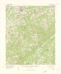 1958 Villa Rica1960 Print · USGSThe West Georgia countryside in the late fifties centered on the Chattahoochee River and the industrial activity at Banning Mills. Genealogists can trace family-named crossroads and rural landmarks like Hickory Level, Fouts Mill, and Bright Star Ch.2 unique versions available
 - 1958 Map of Dallas, 1960 Print
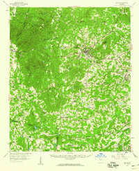 1958 Dallas1960 Print · USGSPaulding County and parts of Carroll and Douglas emerge in the late 1950s as a landscape of rail-junction towns and rural church communities. Researchers can trace family roots at Willow Springs Ch, locate the old Drive-in Theater, or follow the SEABOARD rail lines.2 unique versions available
 - 1973 Map of Nebo, 1975 Print
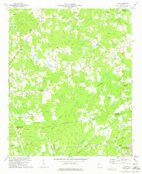 1973 Nebo1975 Print · USGSPaulding and Douglas Counties are captured here in the early 1970s, showing a rural landscape before the rapid expansion of the Atlanta metro area. Genealogists and local historians can locate several country churches and settlements, including Sudie, Brownsville, and the Callie Harbin Ch.3 unique versions available
 - 1973 Map of Villa Rica, 1975 Print
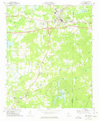 1973 Villa Rica1975 Print · USGSVilla Rica and its rural surroundings are captured here in the early seventies, showing a period of modern transit growth along the Southern rail line. Genealogists and local historians can trace family locations near Old Carrollton, Ithaca, and churches like Macedonia Ch and Ephesus Church.3 unique versions available
 - 1973 Map of Winston, 1975 Print
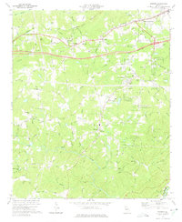 1973 Winston1975 Print · USGSDouglas County was undergoing significant change in the early seventies as the new interstate corridor was cut through the countryside. Researchers can trace family sites and community landmarks like Bill Arp, Fouts Mill, and several historic congregations including Old Mtn Top Ch.3 unique versions available
 - 1973 Map of New Georgia, 1975 Print
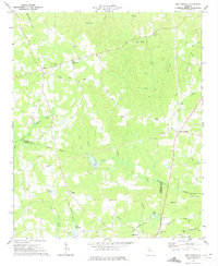 1973 New Georgia1975 Print · USGSGeorgia's Piedmont region in the 1970s shows a landscape of growing rural communities and deep-rooted local history. Genealogists and researchers can trace family landmarks like Wesley Chapel, Pine Log Cem, and the settlement of New Georgia near the Little Tallapoosa River.2 unique versions available
 - 1981 Map of Atlanta, 1982 Print
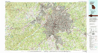 1981 Atlanta1982 Print · USGSThe Atlanta metro area is shown during its late-century boom, following the completion of the beltway and the rise of its major international airport. Trace the growth of suburbs from Mableton to Tucker and the footprints of Fort McPherson and Stone Mtn.
 - 2011 Map of Villa Rica, 2011 Print
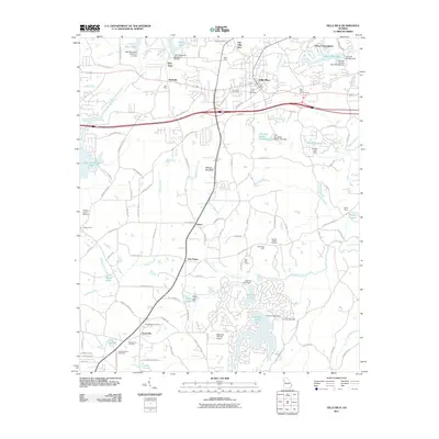 2011 Villa Rica2011 Print · USGSVilla Rica and its surrounding Georgia countryside are shown in this 2011 survey during a period of modern growth. Genealogists and local historians can trace family locations at Hill Crest Cemetery, Old Villa Rica Cemetery, and former mining sites like Jones Mine.
 - 2011 Map of Nebo, 2011 Print
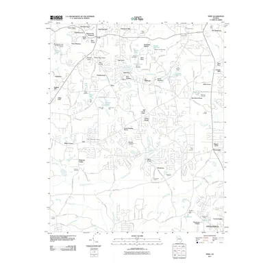 2011 Nebo2011 Print · USGSThe outskirts of Douglasville in the early 2000s reveal a landscape of expanding residential enclaves woven around older rural markers. Genealogists and local historians can locate many historic burial sites, including Star of Bethlehem Cemetery and New Harmony Cemetery, alongside the Hiram Post Office.
 - 2011 Map of Winston, 2011 Print
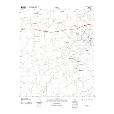 2011 Winston2011 Print · USGSThe Georgia Piedmont south of the interstate shows a transition into suburban neighborhoods during the early twenty-first century. Genealogists and local historians can locate legacy sites like Phillips Mill and Fouts Mill alongside established landmarks such as Canaan Camp.
 - 2011 Map of New Georgia, 2011 Print
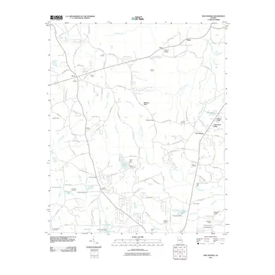 2011 New Georgia2011 Print · USGSThe area north of Villa Rica, Georgia, is shown here during a period of transition between its mining heritage and modern suburban growth. Genealogists and historians can locate numerous burial grounds like Smyrna Cemetery and trace industrial sites such as the Villa Rica Mine and Twohundred and Twelve Prospect.
 - 2014 Map of Villa Rica, 2014 Print
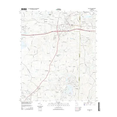 2014 Villa Rica2014 Print · USGSThe West Georgia Piedmont is captured in the early 21st century as the communities of Villa Rica and Temple expand along their historic rail and road corridors. Researchers can trace ancestral sites at Old Carrollton Cem or explore rural crossroads like Five Points and Sand Hill.
 - 2014 Map of Nebo, 2014 Print
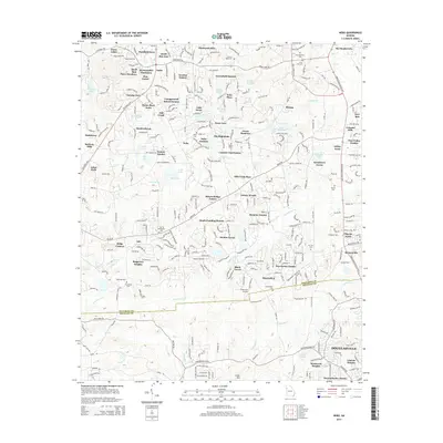 2014 Nebo2014 Print · USGSThe Paulding and Douglas County border transitioned into a thriving residential corridor by the mid-2010s. Local researchers can trace family roots through numerous burial sites like Star of Bethlehem Cemetery and landmarks like Pinewood Airport.
 - 2014 Map of Winston, 2014 Print
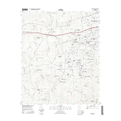 2014 Winston2014 Print · USGSDouglas County residential expansion is on full display here just after the turn of the millennium. Local researchers can trace established neighborhoods like White City and Winston alongside landmarks like Ephesus Church and Hunter Memorial Park.
 - 2014 Map of New Georgia, 2014 Print
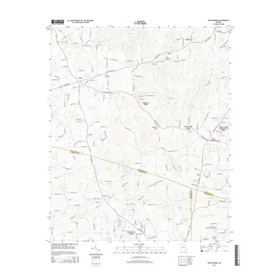 2014 New Georgia2014 Print · USGSNorthwest of Villa Rica in the 2010s, this area reflects a mixture of historic rural settlements and emerging residential neighborhoods. Genealogists can trace family records through sites like Harmony Grove Cem, Pine Log Cem, and Smyrna Cem.
 - 2017 Map of New Georgia, 2017 Print
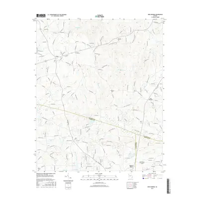 2017 New Georgia2017 Print · USGSThe tri-county borders of Paulding, Carroll, and Douglas counties are documented here in the late twenty-teens. Researchers can trace numerous family burial sites like Melrose Cem and Smyrna Cem or locate regional landmarks like Earl L Small Jr Field/Stockmar Airport.
 - 2017 Map of Nebo, 2017 Print
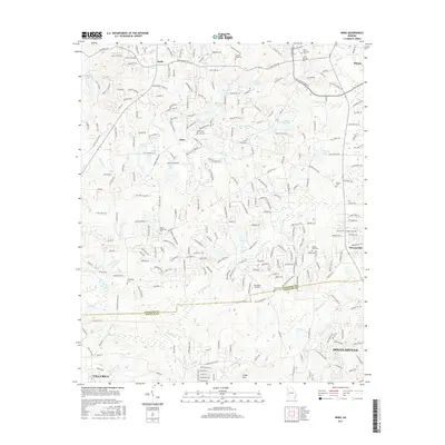 2017 Nebo2017 Print · USGSThe interface of Paulding and Douglas counties in the late 2010s shows a landscape of growing communities and established rural enclaves. Local historians can trace dozens of landmarks, including the Star of Bethlehem Cem, Cedar Mtn, and the waters of Sweetwater Cr.
 - 2017 Map of Winston, 2017 Print
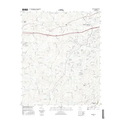 2017 Winston2017 Print · USGSDouglas County at the height of its suburban development retains deep connections to its rural past. Researchers can trace family landmarks and community anchors like Fouts Mill, Ephesus Church, and the settlement of Winston.
Showing maps 1-25 of 34
Top cities near Villa Rica
- Douglasville historical maps
- Carrollton historical maps
- Powder Springs historical maps
- Dallas historical maps
- Chapel Hill historical maps
- Bremen historical maps
See more
Top neighborhoods of Villa Rica
Frequently asked questions
- What are the different types of historical maps available for Villa Rica?
- What is the oldest map of Villa Rica?
- Where can I purchase historical maps of Villa Rica for my home or office?
- Where can I download high-res historical maps of Villa Rica?
- Are there historical topographic maps available for Villa Rica?
- Is there historical aerial imagery available for Villa Rica?
- Where are historical maps of Villa Rica sourced from?