Old Maps of Chickamauga, Georgia
Explore 25 old maps of Chickamauga, spanning from 1886 to today. These high-resolution historic maps reveal how streets, neighborhoods, landmarks, and natural features evolved over time — perfect for genealogy, metal detecting, research, and local history exploration.
What you can do with these maps:
- See how Chickamauga changed over time: Compare historical maps to modern-day views to trace roads, homesites, rail lines & more.
- View detailed metadata: Each map includes creators, publishers, year, scale, and archive source.
- Overlay maps with satellite & LiDAR: Visualize the past alongside modern tools to explore terrain & human change.
- Trusted historical sources: Maps sourced from the USGS, Library of Congress, and other archives.
- Access maps your way: View online, download high-res files, or order prints for personal or research use.
Start exploring old maps of Chickamauga to uncover forgotten places, hidden landmarks, and the deep history beneath your feet.
Chickamauga, GA maps
(25)- 1886 Map of Ringgold
 1886 Ringgold1886 Print · USGSNorthwest Georgia in the 1880s was a landscape of industrial river valleys and steep ridges defined by early rail lines. Local historians can trace family-named landmarks like Gilreath's Mill, the Trion Factory textile site, and the rural stop at Tap's Store.
 - 1892 Map of Ringgold
 1892 Ringgold1892 Print · USGSNorth Georgia and the Tennessee border are mapped here in the late nineteenth century as the region transitioned into a post-war rail and tourism hub. Researchers can trace the early National Park boundaries, industrial Coal Mines, and vanished stops like High Point or Lisbon Sta..9 unique versions available
 - 1936 Map of Kensington
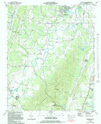
 1936 Kensington1936 Print · USGSWalker County during the mid-1930s shows a landscape of ridge-and-valley settlements connected by the Central of Georgia line. Genealogists and historians can trace family locations near Old Lookout Cem, Pond Spring, and the Gordon Lee Sch.
 - 1936 Map of Fort Oglethorpe
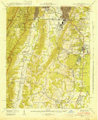
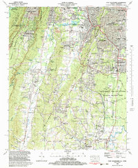
 1936 Fort Oglethorpe1936 Print · USGSThe Georgia-Tennessee borderlands appear here in the mid-1930s, featuring the extensive grounds of the Chickamauga battlefield and the early development of Lookout Mountain. Researchers can locate historic farmsteads and monuments such as the Snodgrass House, the Lee and Gordon Mill, and Rock City Gardens.
 - 1942 Map of Fort Oglethorpe, 1946 Print
 1942 Fort Oglethorpe1946 Print · USGSThe Tennessee-Georgia borderlands are captured here during the early 1940s, highlighting the transition from historic battlefields to growing residential communities. Genealogists and historians can trace family-named sites like Snodgrass House, McCallie Lake, and Lee and Gordon Mill.3 unique versions available
 - 1946 Map of Kensington, 1947 Print
 1946 Kensington1947 Print · USGSWalker County during the mid-forties is captured here as a landscape of ridge-top vistas and rail-connected valley towns. Genealogists and researchers can locate family sites like Owings Cem, the Gordon Lee School, and the old works at Hall Mill.6 unique versions available
 - 1955 Map of Rome
 1955 Rome1955 Print · USGSThe tri-state borderlands of Georgia, Alabama, and Tennessee appear in the mid-fifties as a landscape of ridge-and-valley industry and river navigation. Genealogists can trace family footprints near Chattanooga, the iron works of Gadsden, and textile towns like Trion or Summerville.
 - 1958 Map of Fort Oglethorpe, 1959 Print
 1958 Fort Oglethorpe1959 Print · USGSCrossing the state line in the late fifties, this survey captures the convergence of Civil War memory and mid-century suburbanization. Trace historical sites within the National Military Park or locate family roots near Shields Crossroads and Blowing Spring.2 unique versions available
 - 1958 Map of Rome, 1966 Print
 1958 Rome1966 Print · USGSNorthwest Georgia and neighboring Tennessee and Alabama are captured here in the late fifties, showcasing a landscape of high ridges and river valleys. Researchers can trace historic rail lines like the Seaboard Air Line RR and explore the bounds of Cloudland Canyon State Park or Fort Oglethorpe.3 unique versions available
 - 1961 Map of Rome
 1961 Rome1961 Print · USGSNorthwest Georgia and neighboring Tennessee and Alabama are shown here at a moment of significant mid-century growth. Researchers can trace the rail networks of the Central of Georgia or locate landmarks within Chickamauga and Chattanooga Nat Military Park.
 - 1963 Map of Rome
 1963 Rome1963 Print · USGSThe tri-state corner of Georgia, Alabama, and Tennessee is captured here during a period of massive reservoir expansion and post-war growth. Genealogists and historians can trace the rail corridors of the Southern Ry or locate landmarks like Fort Oglethorpe and Cloudland Canyon State Park.
 - 1969 Map of Fort Oglethorpe, 1970 Print
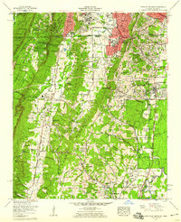
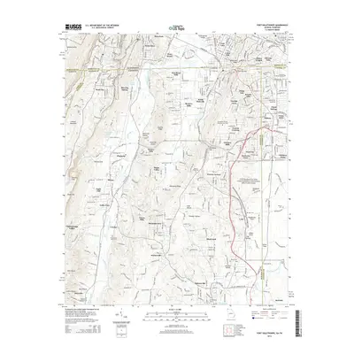
 1969 Fort Oglethorpe1970 Print · USGSThe Georgia-Tennessee borderlands south of Chattanooga come into focus in the late sixties, showing the suburban expansion and military heritage of the region. Researchers can trace family roots through Humphreys Cem, locate the Chattanooga Valley High School, or study the grounds of Chickamauga and Chattanooga National Military Park.
 - 1981 Map of Chickamauga, 1982 Print
 1981 Chickamauga1982 Print · USGSThe tri-state border region of Georgia, Alabama, and Tennessee comes into focus during the early eighties, defined by the towering ridges of the Appalachians. Historians can trace the preserved grounds of Chickamauga and Chattanooga National Military Park and old rail stops like Rising Fawn or Sulphur Springs.2 unique versions available
 - 1982 Map of Fort Oglethorpe, 1983 Print
 1982 Fort Oglethorpe1983 Print · USGSThe Georgia-Tennessee borderlands in the early eighties show a landscape deeply shaped by Civil War history and post-war growth. Researchers can trace family sites and local landmarks from Lookout Mountain to the Lee and Gordon Mill, including the Wilder Obsv Tower and Brotherton House.3 unique versions available
 - 1983 Map of Kensington, 1984 Print
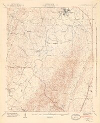
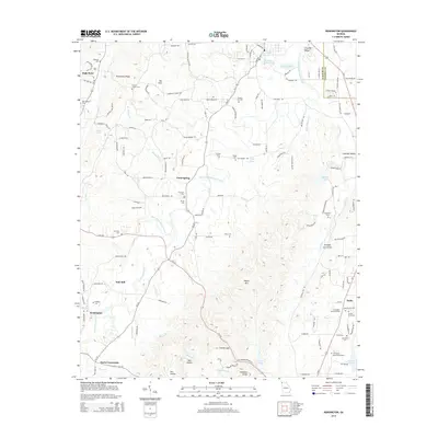
 1983 Kensington1984 Print · USGSWalker County in the early eighties was a landscape of deep valleys and rising ridges shaped by the Central of Georgia rail line. Genealogists can trace family landmarks and rural roots at District Hill Cemetery, Pond Springs School, and the community of Chickamauga.
 - 2010 Map of Fort Oglethorpe, 2010 Print
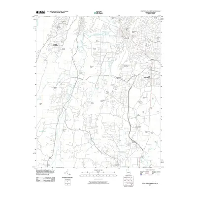 2010 Fort Oglethorpe2010 Print · USGSCovers Chickamauga, including Chattanooga, East Ridge, and other nearby areas
 - 2011 Map of Kensington, 2011 Print
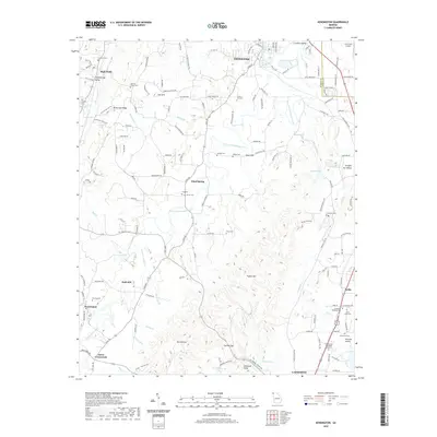
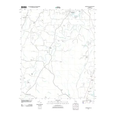 2011 Kensington2011 Print · USGSCovers Chickamauga, including LaFayette, Noble, and other nearby areas
 - 2014 Map of Kensington, 2014 Print
 2014 Kensington2014 Print · USGSCovers Chickamauga, including LaFayette, Noble, and other nearby areas
 - 2014 Map of Fort Oglethorpe, 2014 Print
 2014 Fort Oglethorpe2014 Print · USGSCovers Chickamauga, including Chattanooga, East Ridge, and other nearby areas
 - 2017 Map of Kensington, 2017 Print
 2017 Kensington2017 Print · USGSCovers Chickamauga, including LaFayette, Noble, and other nearby areas
 - 2017 Map of Fort Oglethorpe, 2017 Print
 2017 Fort Oglethorpe2017 Print · USGSCovers Chickamauga, including Chattanooga, East Ridge, and other nearby areas
 - 2020 Map of Kensington, 2020 Print
 2020 Kensington2020 Print · USGSCovers Chickamauga, including LaFayette, Noble, and other nearby areas
 - 2020 Map of Fort Oglethorpe, 2020 Print
 2020 Fort Oglethorpe2020 Print · USGSCovers Chickamauga, including Chattanooga, East Ridge, and other nearby areas
 - 2024 Map of Fort Oglethorpe, 2024 Print
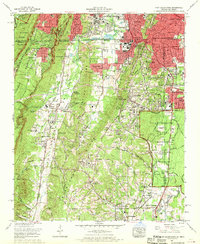
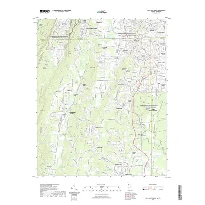
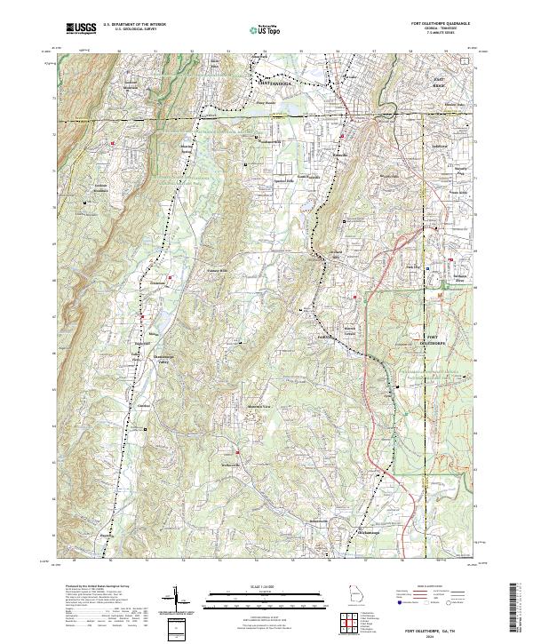 2024 Fort Oglethorpe2024 Print · USGSThe Georgia-Tennessee border comes into focus in this contemporary survey, centering on the hallowed grounds of Chickamauga and Chattanooga National Military Park. Trace family history at Mission Ridge Cem or explore the heights of Lookout Mountain and Snodgrass Hill.
 - 2024 Map of Kensington, 2024 Print
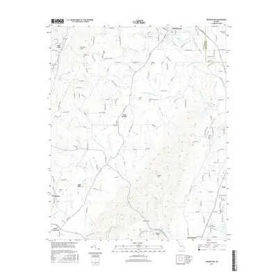
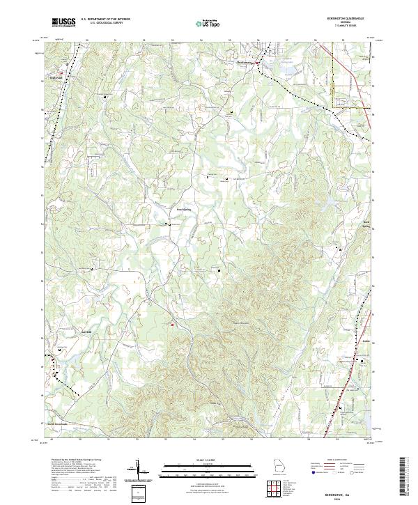 2024 Kensington2024 Print · USGSWalker County's ridge-and-valley landscape is documented here in the early twenty-first century, showing the established communities of Chickamauga and Pond Spring. Researchers can locate numerous family burial grounds and landmarks like District Hill Cem and Hall Mill.
End of results
Showing maps 1-25 of 25
Top cities near Chickamauga
- Chattanooga historical maps
- East Ridge historical maps
- East Ridge historical maps
- Fort Oglethorpe historical maps
- Collegedale historical maps
- LaFayette historical maps
See more
Frequently asked questions
- What are the different types of historical maps available for Chickamauga?
- What is the oldest map of Chickamauga?
- Where can I purchase historical maps of Chickamauga for my home or office?
- Where can I download high-res historical maps of Chickamauga?
- Are there historical topographic maps available for Chickamauga?
- Is there historical aerial imagery available for Chickamauga?
- Where are historical maps of Chickamauga sourced from?