2000s (21st Century) Maps of Chickamauga, Georgia
Explore 10 historic maps of Chickamauga from the 2000s (21st Century). These maps offer a rare glimpse into what life looked like during the 2000s — showing old roads, neighborhoods, homes, and landmarks that have changed or disappeared over time.
Whether you're researching your family's past, planning a metal detecting trip, or studying how Chickamauga's landscape evolved across the 2000s, these high-resolution maps are a powerful tool for exploring the history of this region.
- Focus on a specific era: All maps on this page are from the 2000s, giving you a focused view of this time period.
- See what’s changed: Compare century-old streets, trails, and buildings to today's modern landscape using overlays and satellite layers.
- Research with precision: Use these maps for genealogy, historical research, land use analysis, or educational projects.
- View, download, or print: Maps are fully viewable online in high resolution, and can be downloaded or printed for your own records.
Start exploring Chickamauga's history through authentic maps from the 2000s. This is your window into the past.
Chickamauga, GA maps
(10)- 2010 Map of Fort Oglethorpe, 2010 Print
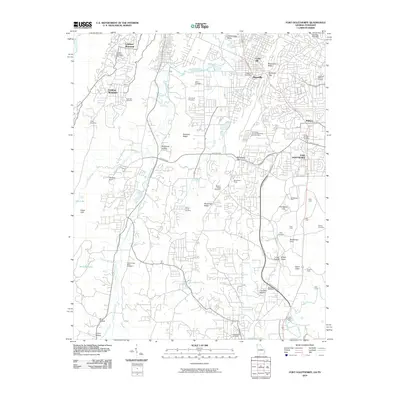 2010 Fort Oglethorpe2010 Print · USGSCovers Chickamauga, including Chattanooga, East Ridge, and other nearby areas
 - 2011 Map of Kensington, 2011 Print
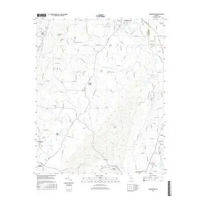
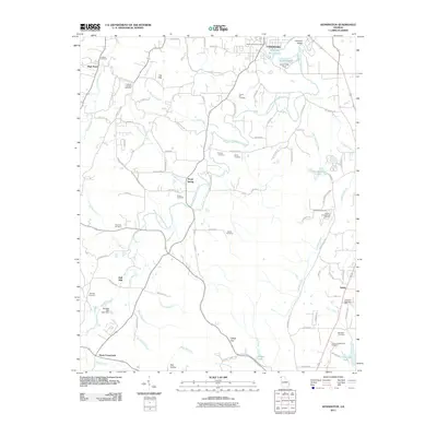 2011 Kensington2011 Print · USGSCovers Chickamauga, including LaFayette, Noble, and other nearby areas
 - 2014 Map of Kensington, 2014 Print
 2014 Kensington2014 Print · USGSCovers Chickamauga, including LaFayette, Noble, and other nearby areas
 - 2014 Map of Fort Oglethorpe, 2014 Print
 2014 Fort Oglethorpe2014 Print · USGSCovers Chickamauga, including Chattanooga, East Ridge, and other nearby areas
 - 2017 Map of Kensington, 2017 Print
 2017 Kensington2017 Print · USGSCovers Chickamauga, including LaFayette, Noble, and other nearby areas
 - 2017 Map of Fort Oglethorpe, 2017 Print
 2017 Fort Oglethorpe2017 Print · USGSCovers Chickamauga, including Chattanooga, East Ridge, and other nearby areas
 - 2020 Map of Kensington, 2020 Print
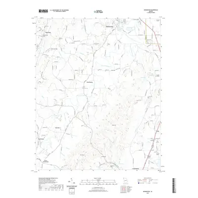 2020 Kensington2020 Print · USGSCovers Chickamauga, including LaFayette, Noble, and other nearby areas
 - 2020 Map of Fort Oglethorpe, 2020 Print
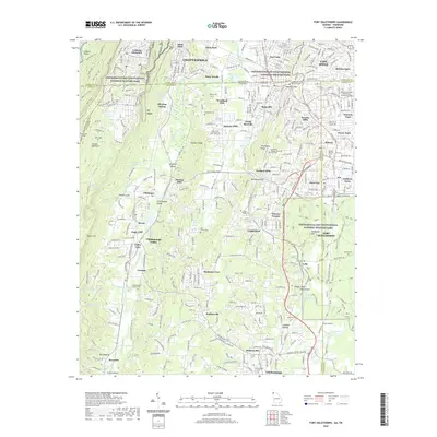 2020 Fort Oglethorpe2020 Print · USGSCovers Chickamauga, including Chattanooga, East Ridge, and other nearby areas
 - 2024 Map of Fort Oglethorpe, 2024 Print
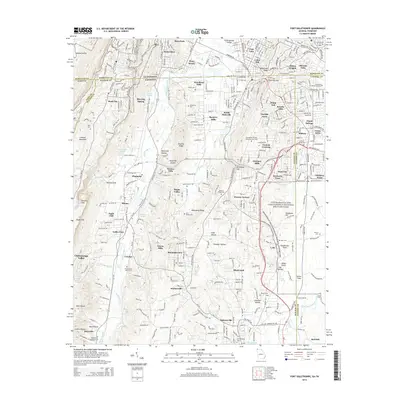
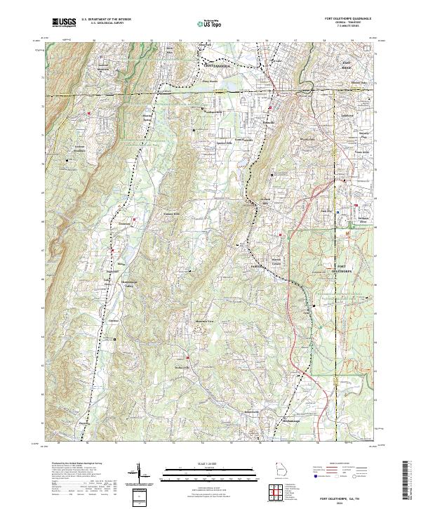 2024 Fort Oglethorpe2024 Print · USGSThe Georgia-Tennessee border comes into focus in this contemporary survey, centering on the hallowed grounds of Chickamauga and Chattanooga National Military Park. Trace family history at Mission Ridge Cem or explore the heights of Lookout Mountain and Snodgrass Hill.
 - 2024 Map of Kensington, 2024 Print
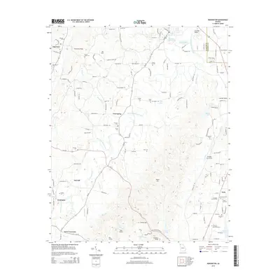
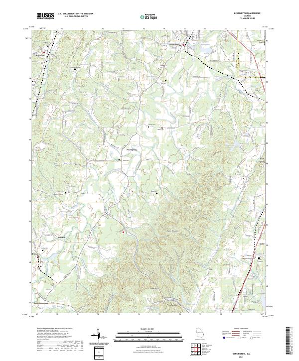 2024 Kensington2024 Print · USGSWalker County's ridge-and-valley landscape is documented here in the early twenty-first century, showing the established communities of Chickamauga and Pond Spring. Researchers can locate numerous family burial grounds and landmarks like District Hill Cem and Hall Mill.
End of results
Showing maps 1-10 of 10
Top cities near Chickamauga
- Chattanooga historical maps
- East Ridge historical maps
- East Ridge historical maps
- Fort Oglethorpe historical maps
- Collegedale historical maps
- LaFayette historical maps
See more
Frequently asked questions
- What are the different types of historical maps available for Chickamauga?
- What is the oldest map of Chickamauga?
- Where can I purchase historical maps of Chickamauga for my home or office?
- Where can I download high-res historical maps of Chickamauga?
- Are there historical topographic maps available for Chickamauga?
- Is there historical aerial imagery available for Chickamauga?
- Where are historical maps of Chickamauga sourced from?