Old Maps of Skullhead, Georgia for Genealogy
Trace your family roots with 11 historic maps of Skullhead. These high-res maps reveal old neighborhoods, homesites, landmarks, and streets — helping you uncover where your ancestors lived and how the area evolved over time.
- Explore historic neighborhoods: Identify where your relatives may have lived in the 1800s or 1900s.
- Compare maps over time: Trace the changes in streets, buildings, and landmarks for multi-generational research.
- Perfect for genealogy & ancestry research: Used by family historians and researchers to map out lineage and migration.
These maps are an incredible resource for exploring your personal connection to Skullhead's past.
Skullhead, GA maps
(11)- 1953 Map of Waycross, 1967 Print
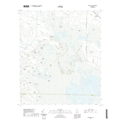
 1953 Waycross1967 Print · USGSSouth Georgia's agricultural and rail heartland is captured here in the mid-1950s, showing a vast network of timber and farming towns. Researchers can trace the rail lines connecting Waycross and Tifton or locate landmarks like Jefferson Davis State Park and Lake Blackshear.2 unique versions available
 - 1958 Map of Waycross
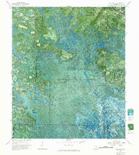
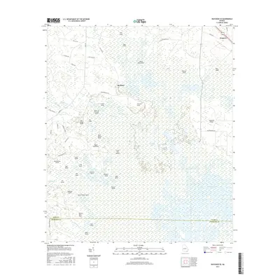
 1958 Waycross1958 Print · USGSSoutheast Georgia in the late fifties remains a landscape of deep river basins and vital rail junctions. Genealogists and historians can trace family-named landmarks and rural hubs like Union Church, South Georgia College, and the sprawling Okefenokee Swamp.2 unique versions available
 - 1967 Map of Waycross SE, 1968 Print
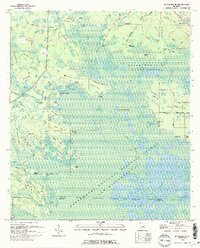
 1967 Waycross SE1968 Print · USGSThe northern reaches of the Okefenokee are captured here in the late sixties, showcasing a labyrinth of named islands and aquatic prairies. Researchers can trace the legacy of the regional timber industry via the Dismantled Logging Tram and the small settlement at Braganza.
 - 1978 Map of Waycross, 1982 Print
 1978 Waycross1982 Print · USGSSoutheast Georgia in the late seventies is a landscape of vast wetlands and busy rail junctions. Genealogists and local historians can trace the Seaboard Coast Line through rural stops like Millwood and Pearson or locate family sites near the Okefenokee Swamp.
 - 1988 Map of Waycross
 1988 Waycross1988 Print · USGSSouth Georgia's wiregrass and timber country is documented here in the late eighties, centered on the vital rail junction of Waycross. Genealogists and historians can trace the rural landscape from Okefenokee up to the Ocmulgee, finding sites like Lumber City and Jefferson Davis Memorial State Park.
 - 1994 Map of Waycross SE
 1994 Waycross SE1994 Print · USGSSoutheastern Georgia at the edge of the great swamp in the mid-1990s reveals a complex landscape of named hammocks and water-bound landings. Local historians can trace the paths of an Old Railroad Grade and locate remote features like Negro Camp Island, Braganza, and Taylors Landing.
 - 2011 Map of Waycross SE, 2011 Print
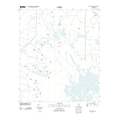 2011 Waycross SE2011 Print · USGSCovers Skullhead, including Ware County, Charlton County, and other nearby areas
 - 2014 Map of Waycross SE, 2014 Print
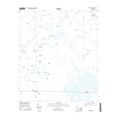 2014 Waycross SE2014 Print · USGSCovers Skullhead, including Ware County, Charlton County, and other nearby areas
 - 2017 Map of Waycross SE, 2017 Print
 2017 Waycross SE2017 Print · USGSCovers Skullhead, including Ware County, Charlton County, and other nearby areas
 - 2020 Map of Waycross SE, 2020 Print
 2020 Waycross SE2020 Print · USGSCovers Skullhead, including Ware County, Charlton County, and other nearby areas
 - 2024 Map of Waycross SE, 2024 Print
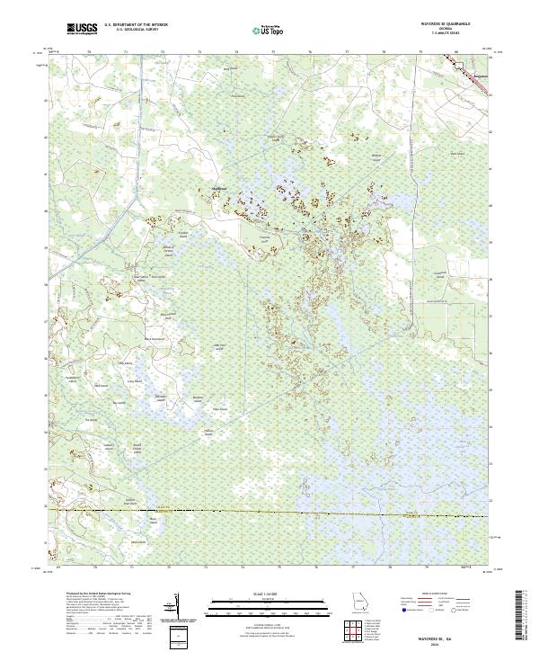 2024 Waycross SE2024 Print · USGSThe Okefenokee swamp interior and the rural fringes of Ware County are mapped here in the early twenty-first century. Researchers can trace remote locales like Braganza, the winding Bear Lake Strand, and curiosities such as Wheel of Fortune Island or Seldom Seen Point.
End of results
Showing maps 1-11 of 11
Top cities near Skullhead
Frequently asked questions
- What are the different types of historical maps available for Skullhead?
- What is the oldest map of Skullhead?
- Where can I purchase historical maps of Skullhead for my home or office?
- Where can I download high-res historical maps of Skullhead?
- Are there historical topographic maps available for Skullhead?
- Is there historical aerial imagery available for Skullhead?
- Where are historical maps of Skullhead sourced from?