Old Maps of Reese, Georgia for Academic Research
Study the evolution of Reese with 12 high-resolution historic maps. Whether you're teaching, researching, or modeling changes in land use, these maps provide essential visual documentation of urban, environmental, and geographic change.
- Analyze long-term change: Track patterns in development, transportation, and natural features.
- Ideal for environmental or urban studies: Support academic projects with primary historical map data.
- Use in the classroom or lab: Educators and researchers rely on these maps to bring historical context to life.
These maps are a powerful tool for teaching, research, and visualizing how Reese has changed over the decades.
Reese, GA maps
(12)- 1953 Map of Athens, 1966 Print
 1953 Athens1966 Print · USGSGeorgia's Piedmont and Savannah River borderlands come alive in this mid-century survey of the region surrounding Athens and Augusta. Trace the rail-and-river economy through the Georgia RR and landmarks like the Fort Gordon Military Reservation.3 unique versions available
 - 1958 Map of Athens
 1958 Athens1958 Print · USGSNorth-central Georgia and the Savannah River valley are captured in the late fifties, showing the region as the new reservoirs were filling. Researchers can trace historic rail lines like the Georgia RR and locate rural landmarks such as Social Circle, Graves Mountain, and the Fort Gordon Military Reservation.
 - 1959 Map of Athens
 1959 Athens1959 Print · USGSNortheast Georgia and the South Carolina borderlands appear here in the mid-fifties, during a decade of infrastructure growth. Genealogists and historians can trace the rail-and-river geography of towns like Social Circle, the sprawl of Fort Gordon Military Reservation, and the newly formed Clark Hill Reservoir.
 - 1963 Map of Athens
 1963 Athens1963 Print · USGSGeorgia's Piedmont and the Savannah River valley are captured in the early sixties as major reservoirs and military installations reshaped the landscape. Researchers can trace the development of Clark Hill Reservoir, locate the Fort Gordon Military Reservation, and find historic towns like Social Circle and Eatonton.
 - 1972 Map of Bastonville, 1974 Print
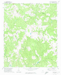 1972 Bastonville1974 Print · USGSEastern Glascock County is depicted in the early seventies, a landscape of timbered ridges and rural rail sidings. Genealogists and local historians can trace family locations near Harts, Bastonville, and several country landmarks like Magnolia Ch and Blankenship Pond.
 - 1981 Map of Thomson, 1982 Print
 1981 Thomson1982 Print · USGSEast Georgia in the early eighties shows a transition from the urban fringes of Augusta to the deep river valleys of the Savannah River and Ogeechee River. Genealogists and historians can trace rail-side communities like Boneville, Camak, and Mesena along the historic Georgia railroad line.
 - 1988 Map of Athens
 1988 Athens1988 Print · USGSThe Georgia Piedmont and South Carolina borderlands appear in the late eighties as a landscape of vast reservoirs and growing towns. Researchers can trace the legacy of the Georgia RR connecting Athens and Augusta, or locate landmarks within Oconee National Forest.
 - 2011 Map of Bastonville, 2011 Print
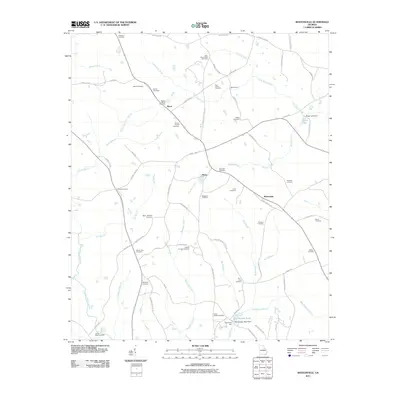 2011 Bastonville2011 Print · USGSBastonville and the surrounding Warren County countryside are shown here in the early twenty-first century, revealing a landscape steeped in family history. Genealogists can trace decades of local heritage through dozens of family burial sites like Magnolia Cemetery and Reese-Norris Cemetery, or locate old landmarks like Blankenship Mill.
 - 2014 Map of Bastonville, 2014 Print
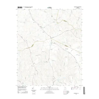 2014 Bastonville2014 Print · USGSWarren County at the Glascock and McDuffie borders is a landscape of established family plots and rural crossroads in the early twenty-first century. Genealogists can trace local heritage through dozens of named sites like Abbott Cem, Munns Ford, and the settlement of Bastonville.
 - 2017 Map of Bastonville, 2017 Print
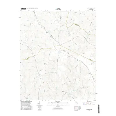 2017 Bastonville2017 Print · USGSEastern Georgia's rural landscape is captured here in the late twenty-teens, showing the quiet agricultural heart of Warren County. Genealogists can trace deep local roots through family-named sites like Abbott Cem, Reese-Norris Cem, and Gracy Hobbs Cem.
 - 2020 Map of Bastonville, 2020 Print
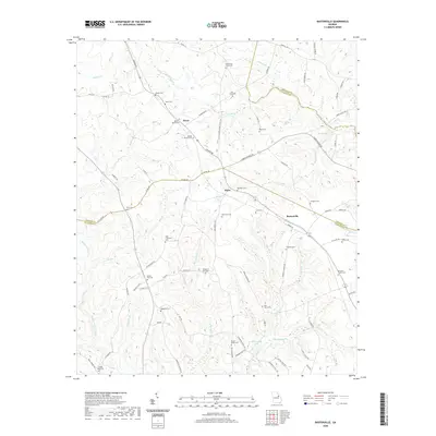 2020 Bastonville2020 Print · USGSWarren County and Glascock County are documented here at the start of the 2020s, showing a landscape defined by ancestral family plots and small rural crossroads. Genealogists can locate specific burial sites like Rosa Bell Cem and James Kelly Cem or trace local landmarks like Reese Lake.
 - 2024 Map of Bastonville, 2024 Print
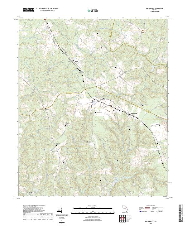 2024 Bastonville2024 Print · USGSGlascock and Warren counties appear here in a recent detailed survey of their rural settlements and deep family roots. Researchers can trace dozens of lineage-named sites including Little Briar Creek Cem, Rosa Bell Cem, and the small community of Bastonville.
End of results
Showing maps 1-12 of 12
Top cities near Reese
- Augusta historical maps
- Thomson historical maps
- Wrens historical maps
- Warrenton historical maps
- Gibson historical maps
- Dearing historical maps
See more
Frequently asked questions
- What are the different types of historical maps available for Reese?
- What is the oldest map of Reese?
- Where can I purchase historical maps of Reese for my home or office?
- Where can I download high-res historical maps of Reese?
- Are there historical topographic maps available for Reese?
- Is there historical aerial imagery available for Reese?
- Where are historical maps of Reese sourced from?