Old Maps of Downs, Georgia for Hiking & Exploration
Hike through history with 12 historic maps of Downs. Explore old trails, ghost towns, and forgotten backroads — perfect for outdoor adventurers and local explorers.
- Rediscover forgotten places: Map out old mining camps, roads, and footpaths that no longer exist on modern maps.
- Layer with modern tools: Combine with LiDAR or satellite views to plan hikes through historical terrain.
- Made for exploration: Popular among hikers, overlanders, and local history lovers.
Use these maps to find adventure and explore the hidden past of Downs.
Downs, GA maps
(12)- 1953 Map of Athens, 1966 Print
 1953 Athens1966 Print · USGSGeorgia's Piedmont and Savannah River borderlands come alive in this mid-century survey of the region surrounding Athens and Augusta. Trace the rail-and-river economy through the Georgia RR and landmarks like the Fort Gordon Military Reservation.3 unique versions available
 - 1958 Map of Athens
 1958 Athens1958 Print · USGSNorth-central Georgia and the Savannah River valley are captured in the late fifties, showing the region as the new reservoirs were filling. Researchers can trace historic rail lines like the Georgia RR and locate rural landmarks such as Social Circle, Graves Mountain, and the Fort Gordon Military Reservation.
 - 1959 Map of Athens
 1959 Athens1959 Print · USGSNortheast Georgia and the South Carolina borderlands appear here in the mid-fifties, during a decade of infrastructure growth. Genealogists and historians can trace the rail-and-river geography of towns like Social Circle, the sprawl of Fort Gordon Military Reservation, and the newly formed Clark Hill Reservoir.
 - 1963 Map of Athens
 1963 Athens1963 Print · USGSGeorgia's Piedmont and the Savannah River valley are captured in the early sixties as major reservoirs and military installations reshaped the landscape. Researchers can trace the development of Clark Hill Reservoir, locate the Fort Gordon Military Reservation, and find historic towns like Social Circle and Eatonton.
 - 1972 Map of Downs, 1974 Print
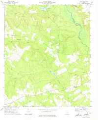 1972 Downs1974 Print · USGSEastern Georgia's rural heartland is meticulously detailed in the early 1970s, as the Ogeechee River flows along the Jefferson County line. Genealogists can trace family history through local sites like Minton Springs Cem, Halls Chapel, and Downs.2 unique versions available
 - 1981 Map of Thomson, 1982 Print
 1981 Thomson1982 Print · USGSEast Georgia in the early eighties shows a transition from the urban fringes of Augusta to the deep river valleys of the Savannah River and Ogeechee River. Genealogists and historians can trace rail-side communities like Boneville, Camak, and Mesena along the historic Georgia railroad line.
 - 1988 Map of Athens
 1988 Athens1988 Print · USGSThe Georgia Piedmont and South Carolina borderlands appear in the late eighties as a landscape of vast reservoirs and growing towns. Researchers can trace the legacy of the Georgia RR connecting Athens and Augusta, or locate landmarks within Oconee National Forest.
 - 2011 Map of Downs, 2011 Print
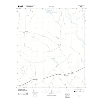 2011 Downs2011 Print · USGSWashington County at the turn of the decade is a landscape of quiet crossroads and family-held lands. Researchers can trace ancestral connections through numerous sites like Downs Cemetery and Gordon Cemetery, or locate old mill sites like Jordan Millpond.
 - 2014 Map of Downs, 2014 Print
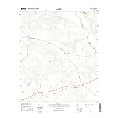 2014 Downs2014 Print · USGSThe borderlands of Washington and Jefferson counties are captured here in the early twenty-first century, centered on the Ogeechee River. Researchers can trace local lineage through a dozen rural cemeteries including Antioch Cem, Amerson Cem, and Oak Grove Cem.
 - 2017 Map of Downs, 2017 Print
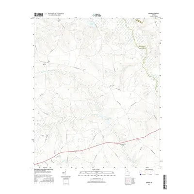 2017 Downs2017 Print · USGSWashington County and its neighbors are captured here in the mid-2010s, showing a landscape defined by wetlands and family history. Genealogists can locate several named burial sites, from John Sparks Cem to Halls Cross Roads Cem, alongside landmarks like Jordan Millpond.
 - 2020 Map of Downs, 2020 Print
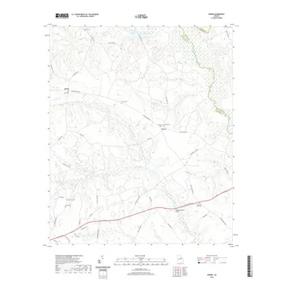 2020 Downs2020 Print · USGSEastern Georgia's rural interior comes into focus here at the start of the 2020s, showcasing the intersection of modern highway development and historic family lands. Genealogists can trace numerous burial sites such as Antioch Cem and Halls Cross Roads Cem while following the path of Williamson Swamp Cr.
 - 2024 Map of Downs, 2024 Print
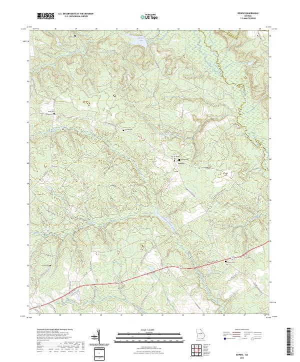 2024 Downs2024 Print · USGSTrace the rural homesteads and family burial grounds of Washington and Jefferson counties in the twenty-first century. Genealogists can locate family-named sites like John Sparks Cem and Amerson Cem or follow the waters of Williamson Swamp Creek.
End of results
Showing maps 1-12 of 12
Top cities near Downs
- Sandersville historical maps
- Tennille historical maps
- Davisboro historical maps
- Gibson historical maps
- Stapleton historical maps
- Bartow historical maps
See more
Frequently asked questions
- What are the different types of historical maps available for Downs?
- What is the oldest map of Downs?
- Where can I purchase historical maps of Downs for my home or office?
- Where can I download high-res historical maps of Downs?
- Are there historical topographic maps available for Downs?
- Is there historical aerial imagery available for Downs?
- Where are historical maps of Downs sourced from?