Old Maps of Kimbrough, Georgia for Genealogy
Trace your family roots with 10 historic maps of Kimbrough. These high-res maps reveal old neighborhoods, homesites, landmarks, and streets — helping you uncover where your ancestors lived and how the area evolved over time.
- Explore historic neighborhoods: Identify where your relatives may have lived in the 1800s or 1900s.
- Compare maps over time: Trace the changes in streets, buildings, and landmarks for multi-generational research.
- Perfect for genealogy & ancestry research: Used by family historians and researchers to map out lineage and migration.
These maps are an incredible resource for exploring your personal connection to Kimbrough's past.
Kimbrough, GA maps
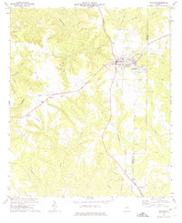
(10)- 1955 Map of Phenix City, 1964 Print
 1955 Phenix City1964 Print · USGSPost-war Alabama and Georgia meet along the Chattahoochee River as industry and military installations expand. Trace the rail lines of the Central of Georgia through towns like Opelika, Tuskegee, and Alexander City.3 unique versions available
 - 1957 Map of Phenix City
 1957 Phenix City1957 Print · USGSThe Alabama-Georgia borderlands are captured here in the mid-fifties, centered on the bustling river crossing at Phenix City and Columbus. Researchers can trace the mid-century footprint of the Fort Benning Military Reservation or locate smaller textile and railroad towns like Langdale and Camp Hill.
 - 1958 Map of Phenix City
 1958 Phenix City1958 Print · USGSThe Alabama-Georgia borderlands thrive during the late fifties, anchored by the river-driven industry of Columbus and Phenix City. Researchers can trace the mid-century footprints of Fort Benning, Auburn, and the textile towns of Fairfax and Lanett.
 - 1972 Map of Richland, 1974 Print
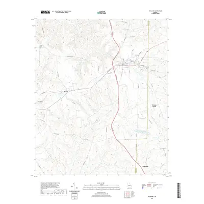
 1972 Richland1974 Print · USGSRichland and the surrounding Georgia countryside are shown in the early seventies as a thriving rail-centered hub near the Stewart and Webster county line. Researchers can locate family landmarks including Harmony Cem, Upper Sardis Ch, and the community of Randall.2 unique versions available
 - 1981 Map of Americus, 1982 Print
 1981 Americus1982 Print · USGSWest Georgia and East Alabama appear here during the early 1980s, showcasing the transition from military reservation to agricultural heartland. Researchers can trace the Central of Georgia rail lines through towns like Plains, Ellaville, and the historic site of Andersonville.
 - 2011 Map of Richland, 2011 Print
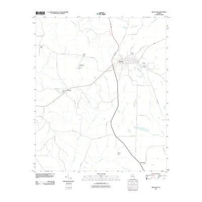 2011 Richland2011 Print · USGSCovers Kimbrough, including Richland, Webster County, and other nearby areas
 - 2014 Map of Richland, 2014 Print
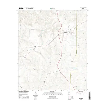 2014 Richland2014 Print · USGSCovers Kimbrough, including Richland, Webster County, and other nearby areas
 - 2017 Map of Richland, 2017 Print
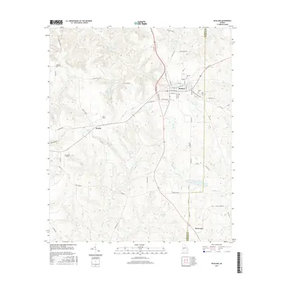 2017 Richland2017 Print · USGSCovers Kimbrough, including Richland, Webster County, and other nearby areas
 - 2020 Map of Richland, 2020 Print
 2020 Richland2020 Print · USGSCovers Kimbrough, including Richland, Webster County, and other nearby areas
 - 2024 Map of Richland, 2024 Print
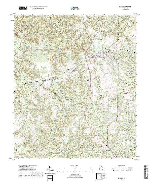 2024 Richland2024 Print · USGSRichland and the surrounding Stewart County countryside are captured here in the twenty-first century, showing a landscape of deep-rooted rural communities. Family historians can trace local burial sites like Whit Wiggins Cem or locate the Bethel African Methodist Episcopal Church in Kimbrough.
End of results
Showing maps 1-10 of 10
Top cities near Kimbrough
- Dawson historical maps
- Cuthbert historical maps
- Lumpkin historical maps
- Richland historical maps
- Preston historical maps
- Parrott historical maps
See more
Frequently asked questions
- What are the different types of historical maps available for Kimbrough?
- What is the oldest map of Kimbrough?
- Where can I purchase historical maps of Kimbrough for my home or office?
- Where can I download high-res historical maps of Kimbrough?
- Are there historical topographic maps available for Kimbrough?
- Is there historical aerial imagery available for Kimbrough?
- Where are historical maps of Kimbrough sourced from?