Old Maps of Kanehoa, Hawaii for Academic Research
Study the evolution of Kanehoa with 12 high-resolution historic maps. Whether you're teaching, researching, or modeling changes in land use, these maps provide essential visual documentation of urban, environmental, and geographic change.
- Analyze long-term change: Track patterns in development, transportation, and natural features.
- Ideal for environmental or urban studies: Support academic projects with primary historical map data.
- Use in the classroom or lab: Educators and researchers rely on these maps to bring historical context to life.
These maps are a powerful tool for teaching, research, and visualizing how Kanehoa has changed over the decades.
Kanehoa, HI maps
(12)- 1916 Map of Waipio
 1916 Waipio1916 Print · USGSThe Kohala coast and Hamakua district come alive in this early twentieth-century survey of the Big Island. Genealogists and historians can locate the Pacific Sugar Mill, the Halelua School, and the complex network of the Kohala Ditch.4 unique versions available
 - 1954 Map of Hawaii North
 1954 Hawaii North1954 Print · USGSThe Big Island in the mid-fifties shows a landscape of active volcanic history and a peak sugar-mill economy. Trace the route of the Hawaii Consolidated Railway, locate the Olaa Plantation Mill, and see the extent of the Lava flow of 1881 near Hilo.
 - 1956 Map of Kamuela, 1957 Print
 1956 Kamuela1957 Print · USGSMid-century Waimea and the surrounding Kohala highlands are captured here during a period of transition for Big Island ranching and aviation. Genealogists and historians can trace family plots in the Waimea Homesteads or locate landmarks like the Parker Ranch Racetrack and Kamuela Airport.3 unique versions available
 - 1959 Map of Hawaii North
 1959 Hawaii North1959 Print · USGSThe northern half of Hawaii Island in the late fifties shows a landscape shaped by historic volcanic activity and a thriving sugar and ranching economy. Researchers can trace historic lava flows alongside local landmarks like Upolu Point Airport, Huehue Ranch, and the Pacific Sugar Mill.
 - 1961 Map of Hawaii North
 1961 Hawaii North1961 Print · USGSThe Big Island's northern reaches are shown here in the early sixties, during the peak of the sugar era and before modern resort development. Researchers can trace the Hawaii Consolidated railroad, locate the Ahu a Umi Heiau Ruins, and explore sugar industry landmarks like the Pacific Sugar Mill.2 unique versions available
 - 1975 Map of Hawaii, 1977 Print
 1975 Hawaii1977 Print · USGSThe Big Island in the mid-seventies is captured here as a landscape of volcanic giants and coastal sugar communities. Genealogists and historians can locate former plantation sites like Pepeekeo Mill or trace the routes of the Mamalahoa Highway through Kamuela.
 - 1980 Map of Hawaii County Sheet 1, 1984 Print
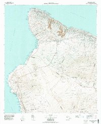 1980 Hawaii County Sheet 11984 Print · USGSThe Big Island's diverse terrain and transition into the 1980s are shown here, from the northern coast to the high mountain saddles. Genealogists and historians can trace homesteads and local roads near Kailua, Kukuihaele, and the Ahualoa area.
 - 1982 Map of Kamuela
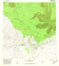 1982 Kamuela1982 Print · USGSHigh in the South Kohala District during the early eighties, this area shows the historic ranching and irrigation systems of Hawaii's interior. Genealogists and historians can trace the foundations of Waimea, the Parker Ranch Racetrack, and the Upper Hamakua Ditch.
 - 1995 Map of Kamuela, 1998 Print
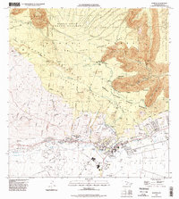 1995 Kamuela1998 Print · USGSThe upland ranching country around the Kohala Mountains is captured here during the mid-1990s. Researchers can trace historic water systems like the Upper Hamakua Ditch and find local landmarks such as Hawaii Prep Academy and Puopelu.
 - 2013 Map of Kamuela, 2013 Print
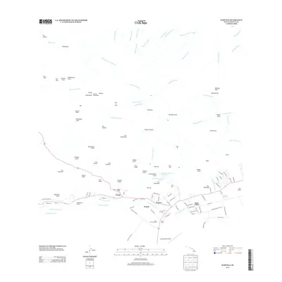 2013 Kamuela2013 Print · USGSThe upland ranching tradition of Hawaiʻi Island is captured here in the early twenty-first century, centered on the community of Waimea. Genealogists and researchers can trace local landmarks like Parker Ranch, Kuhio Village, and the Waimea-Kohala Airport.
 - 2017 Map of Kamuela, 2017 Print
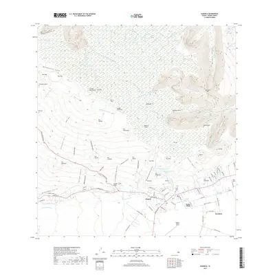 2017 Kamuela2017 Print · USGSThe high plateaus and deep valleys of the Big Island are captured here during a period of modern growth and infrastructure. Researchers can trace the layout of Waimea and locate local landmarks like the Imiola Church Cem and Waimea-Kohala Airport.
 - 2024 Map of Kamuela, 2024 Print
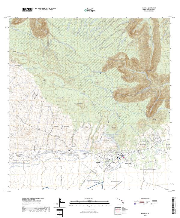 2024 Kamuela2024 Print · USGSThe high plateaus and deep gulches of the Kohala region are revealed in this modern survey of the Big Island. Researchers can trace local heritage through landmarks like Imiola Church, the Japanese Cem, and the historic settlement at Wai'aka.
End of results
Showing maps 1-12 of 12
Frequently asked questions
- What are the different types of historical maps available for Kanehoa?
- What is the oldest map of Kanehoa?
- Where can I purchase historical maps of Kanehoa for my home or office?
- Where can I download high-res historical maps of Kanehoa?
- Are there historical topographic maps available for Kanehoa?
- Is there historical aerial imagery available for Kanehoa?
- Where are historical maps of Kanehoa sourced from?