Old Maps of Enchanted Lake, Hawaii for Hiking & Exploration
Hike through history with 13 historic maps of Enchanted Lake. Explore old trails, ghost towns, and forgotten backroads — perfect for outdoor adventurers and local explorers.
- Rediscover forgotten places: Map out old mining camps, roads, and footpaths that no longer exist on modern maps.
- Layer with modern tools: Combine with LiDAR or satellite views to plan hikes through historical terrain.
- Made for exploration: Popular among hikers, overlanders, and local history lovers.
Use these maps to find adventure and explore the hidden past of Enchanted Lake.
Enchanted Lake, HI maps
(13)- 1952 Map of Mokapu, 1954 Print
 1952 Mokapu1954 Print · USGSWindward Oahu's coastline is captured in the early fifties, showing the development of Kailua and Lanikai alongside major military installations. Genealogists and historians can trace local landmarks like the Heiau, Kailua Sky Ranch, and the Koolau Boys Home.
 - 1954 Map of Oahu
 1954 Oahu1954 Print · USGSMid-century Oahu is caught between its plantation roots and its growing role as a Pacific military hub. Trace the OR and L Co rail lines and explore the 1950s footprints of Pearl Harbor, Libbyville, and Waipahu.
 - 1959 Map of Mokapu, 1960 Print
 1959 Mokapu1960 Print · USGSCoastal Oahu at the dawn of the 1960s reveals a mix of military installations and burgeoning seaside communities. Local historians can trace the early layouts of Lanikai and Kailua, alongside landmarks like the Kailua Sky Ranch and Bellows Air Force Base.2 unique versions available
 - 1961 Map of Oahu
 1961 Oahu1961 Print · USGSOahu's strategic landscape is captured here during the early statehood era, showing the balance between burgeoning urban centers and massive military installations. Trace the path of the Oahu Railway and Land Co or locate historical sites like Schofield Barracks and Punchbowl Hill.
 - 1965 Map of Oahu
 1965 Oahu1965 Print · USGSOahu in the mid-sixties reveals a landscape defined by significant military installations and growing coastal communities. Researchers can trace the infrastructure of Pearl Harbor, Schofield Barracks, and landmarks like Diamond Head.2 unique versions available
 - 1968 Map of Mokapu, 1970 Print
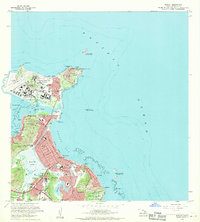 1968 Mokapu1970 Print · USGSCoastal Oahu in the late sixties reveals a mix of expanding suburbs and significant military installations along the Windward shore. Local researchers can trace residential growth in Kailua, explore the Kawainui Swamp basin, or locate landmarks like Ulupau Crater and St Anthony Sch.2 unique versions available
 - 1970 Map of Oahu, 1973 Print
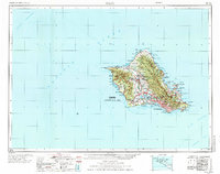 1970 Oahu1973 Print · USGSOahu was entering a new era of suburban and military expansion in the early seventies. Trace the growth of Mililani Town and Pearl City, or locate historic sites like Schofield Barracks and Diamond Head State Monument.2 unique versions available
 - 1978 Map of Mokapu, 1981 Print
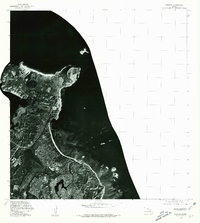 1978 Mokapu1981 Print · USGSThe windward coast of Oahu comes into focus during the late seventies through this detailed aerial orthophotoquad. Local researchers can trace the development of coastal neighborhoods and the exact footprint of Kawainui Swamp during this era.
 - 1983 Map of Mokapu
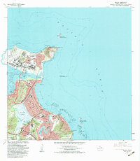 1983 Mokapu1983 Print · USGSWindward Oahu in the early eighties shows a landscape defined by military installations and suburban growth along the coast. Researchers can find cultural landmarks like Ulupo Heiau, early residential areas such as Keolu Hills, and the Kailua Boys Home.
 - 1998 Map of Mokapu Point, 2000 Print
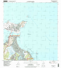 1998 Mokapu Point2000 Print · USGSWindward Oahu at the close of the century shows a unique coastal landscape shaped by military presence and suburban growth. Trace local landmarks like the Marine Corps Base Hawaii, Kawainui Marsh, and the Ulukoi Heiau State Monument.
 - 2013 Map of Mokapu Point, 2013 Print
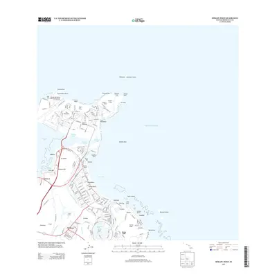 2013 Mokapu Point2013 Print · USGSCoastal O‘ahu is mapped here in the early twenty-first century, showing the interface of military installations and established shorefront communities. Researchers can trace the boundaries of Kaneohe Bay MCAS or locate cultural sites like Ulupō Heiau and Ka‘elepulu Pond.
 - 2017 Map of Mokapu Point, 2017 Print
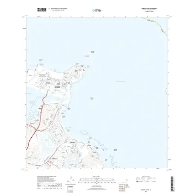 2017 Mokapu Point2017 Print · USGSThe windward coast of O‘ahu comes into focus in the late 2010s, showcasing the expansion of Kailua alongside the Mokapu Peninsula. Researchers can trace the perimeter of the Marine Corps Air Station and locate the historic Kawainui Marsh.
 - 2024 Map of Mokapu Point, 2024 Print
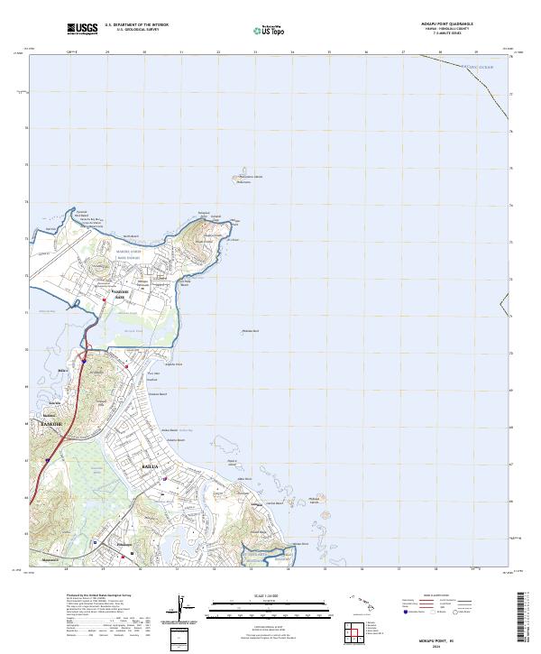 2024 Mokapu Point2024 Print · USGSThe windward coast of O'ahu is shown in the mid-2020s, highlighting the strategic and environmental landscape of the peninsula. Researchers can trace the military history of Marine Corps Base Hawaii alongside natural features like Kawainui Marsh and Ulupa‘u Crater.
End of results
Showing maps 1-13 of 13
Frequently asked questions
- What are the different types of historical maps available for Enchanted Lake?
- What is the oldest map of Enchanted Lake?
- Where can I purchase historical maps of Enchanted Lake for my home or office?
- Where can I download high-res historical maps of Enchanted Lake?
- Are there historical topographic maps available for Enchanted Lake?
- Is there historical aerial imagery available for Enchanted Lake?
- Where are historical maps of Enchanted Lake sourced from?