Old Maps of Collins, Idaho for Metal Detecting
Plan your next treasure hunt with 11 historic maps of Collins. Find old homesites, ghost towns, trails, and gathering spots that may be lost to time — perfect for identifying promising metal detecting locations.
- Locate forgotten sites: Uncover places like long-lost settlements, abandoned rail lines, or gathering spots.
- Plan better hunts: Use map overlays combined with LiDAR or satellite views to narrow in on historically rich areas.
- Made for detectorists: Thousands of hobbyists use these maps to discover relics, coins, and hidden history.
Use these historic maps to boost your research and find new opportunities beneath the surface of Collins.
Collins, ID maps
(11)- 1940 Map of Blackfoot, 1958 Print
 1940 Blackfoot1958 Print · USGSBingham County at the dawn of the 1940s reveals a landscape defined by the Snake River and a vast irrigation network. Genealogists and historians can trace the Fort Hall Indian Reservation boundaries, find School No 12, and locate the Indian Agency and Ross Fork Indian Sch.
 - 1943 Map of Blackfoot
 1943 Blackfoot1943 Print · USGSSoutheastern Idaho's river valleys and irrigation networks are on full display in the early 1940s, centered on the confluence of the Snake River and Blackfoot River. Genealogists and historians can trace family-named waterworks like Wearyrick Ditch and explore the historic layout of the Fort Hall Indian Reservation and Blackfoot.2 unique versions available
 - 1955 Map of Idaho Falls, 1963 Print
 1955 Idaho Falls1963 Print · USGSThe Snake River Plain and its surrounding volcanic peaks are captured in the late fifties, showing the region's unique mix of nuclear research and high-desert ranching. Trace the industrial footprint of the National Reactor Testing Station or find old mining sites like Empire Mine.5 unique versions available
 - 1958 Map of Idaho Falls
 1958 Idaho Falls1958 Print · USGSEastern Idaho in the late fifties showcases the rapid expansion of agricultural and scientific outposts across its volcanic plains. Researchers can locate remote sites like Atomic City, mineral interests at White Knob Mine, and the cultural grounds of St Marys Mission.2 unique versions available
 - 1971 Map of Moreland, 1974 Print
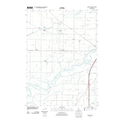
 1971 Moreland1974 Print · USGSBingham County farming life in the early seventies is mapped here through its intricate canal networks and rail-side settlements. Researchers can trace family history through sites like the Thomas Riverside Cemetery, Snake River High Sch, and the Union Pacific depot at Aberdeen Junction.
 - 1978 Map of Blackfoot, 1997 Print
 1978 Blackfoot1997 Print · USGSThe Snake River Valley in the late 1970s shows a landscape of volcanic lava flows meeting intensive irrigation. Genealogists and local historians can trace the irrigation canals and rail towns from Atomic City to the Fort Hall Indian Reservation and Gay Mine.
 - 2010 Map of Moreland, 2010 Print
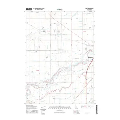
 2010 Moreland2010 Print · USGSCovers Collins, including Blackfoot, Riverside, and other nearby areas
 - 2013 Map of Moreland, 2013 Print
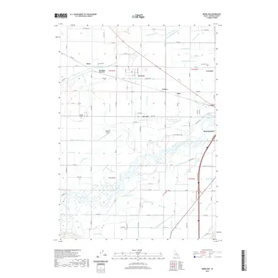
 2013 Moreland2013 Print · USGSCovers Collins, including Blackfoot, Riverside, and other nearby areas
 - 2017 Map of Moreland, 2017 Print
 2017 Moreland2017 Print · USGSCovers Collins, including Blackfoot, Riverside, and other nearby areas
 - 2020 Map of Moreland, 2020 Print
 2020 Moreland2020 Print · USGSCovers Collins, including Blackfoot, Riverside, and other nearby areas
 - 2023 Map of Moreland, 2023 Print
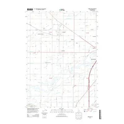
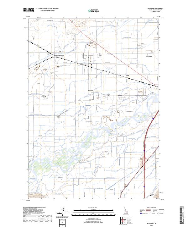 2023 Moreland2023 Print · USGSBingham County farmland and the Snake River Plain are defined here by a massive network of early irrigation canals and riverfront settlements. Researchers can trace family sites near Moreland Cem, the Thomas Riverside Cem, and old rail points like Aberdeen Junction.
End of results
Showing maps 1-11 of 11
Top cities near Collins
Frequently asked questions
- What are the different types of historical maps available for Collins?
- What is the oldest map of Collins?
- Where can I purchase historical maps of Collins for my home or office?
- Where can I download high-res historical maps of Collins?
- Are there historical topographic maps available for Collins?
- Is there historical aerial imagery available for Collins?
- Where are historical maps of Collins sourced from?