Old Maps of Havens, Idaho for Hiking & Exploration
Hike through history with 9 historic maps of Havens. Explore old trails, ghost towns, and forgotten backroads — perfect for outdoor adventurers and local explorers.
- Rediscover forgotten places: Map out old mining camps, roads, and footpaths that no longer exist on modern maps.
- Layer with modern tools: Combine with LiDAR or satellite views to plan hikes through historical terrain.
- Made for exploration: Popular among hikers, overlanders, and local history lovers.
Use these maps to find adventure and explore the hidden past of Havens.
Havens, ID maps
(9)- 1955 Map of Idaho Falls, 1963 Print
 1955 Idaho Falls1963 Print · USGSThe Snake River Plain and its surrounding volcanic peaks are captured in the late fifties, showing the region's unique mix of nuclear research and high-desert ranching. Trace the industrial footprint of the National Reactor Testing Station or find old mining sites like Empire Mine.5 unique versions available
 - 1958 Map of Idaho Falls
 1958 Idaho Falls1958 Print · USGSEastern Idaho in the late fifties showcases the rapid expansion of agricultural and scientific outposts across its volcanic plains. Researchers can locate remote sites like Atomic City, mineral interests at White Knob Mine, and the cultural grounds of St Marys Mission.2 unique versions available
 - 1973 Map of Olsen, 1976 Print
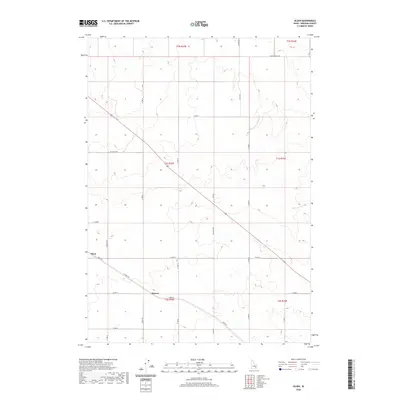
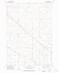 1973 Olsen1976 Print · USGSBingham County agricultural life in the early seventies centers on the rail-side settlements of Olsen and Havens. Researchers can trace the Union Pacific line and locate numerous family-farm infrastructure like storage bins and wells.
 - 1978 Map of Blackfoot, 1997 Print
 1978 Blackfoot1997 Print · USGSThe Snake River Valley in the late 1970s shows a landscape of volcanic lava flows meeting intensive irrigation. Genealogists and local historians can trace the irrigation canals and rail towns from Atomic City to the Fort Hall Indian Reservation and Gay Mine.
 - 2010 Map of Olsen, 2010 Print
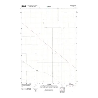 2010 Olsen2010 Print · USGSCovers Havens, including Olsen, Bingham County, and other nearby areas
 - 2013 Map of Olsen, 2013 Print
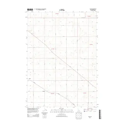 2013 Olsen2013 Print · USGSCovers Havens, including Olsen, Bingham County, and other nearby areas
 - 2017 Map of Olsen, 2017 Print
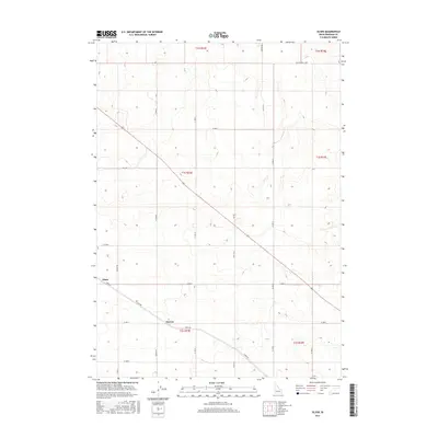 2017 Olsen2017 Print · USGSCovers Havens, including Olsen, Bingham County, and other nearby areas
 - 2020 Map of Olsen, 2020 Print
 2020 Olsen2020 Print · USGSCovers Havens, including Olsen, Bingham County, and other nearby areas
 - 2024 Map of Olsen, 2024 Print
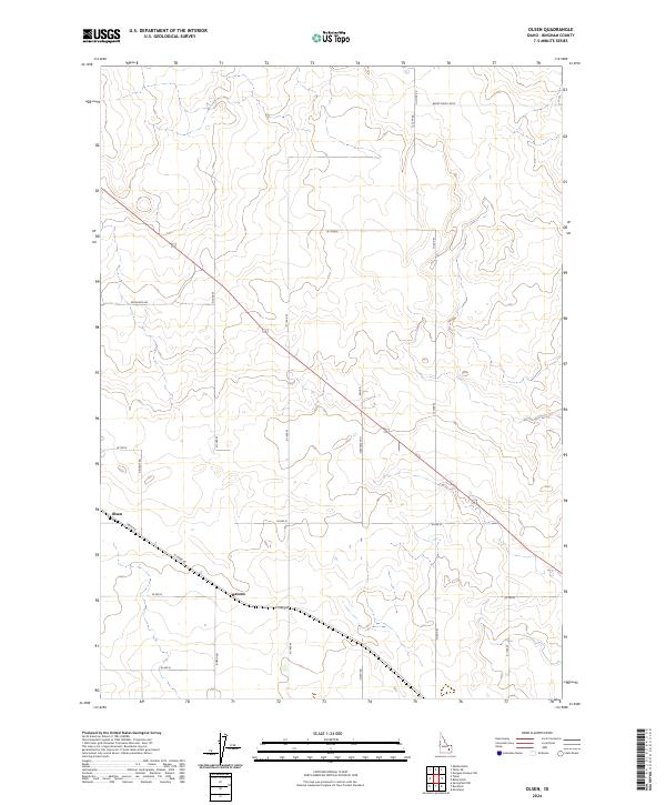 2024 Olsen2024 Print · USGSBingham County is shown in the mid-2020s, highlighting the enduring rural layout of the Snake River Plain. Local researchers can trace the road networks connecting Olsen and Havens along historical routes like Taber Rd and Rhead Rd.
End of results
Showing maps 1-9 of 9
Top cities near Havens
Frequently asked questions
- What are the different types of historical maps available for Havens?
- What is the oldest map of Havens?
- Where can I purchase historical maps of Havens for my home or office?
- Where can I download high-res historical maps of Havens?
- Are there historical topographic maps available for Havens?
- Is there historical aerial imagery available for Havens?
- Where are historical maps of Havens sourced from?