Old Maps of Placerville Historic District, Placerville for Genealogy
Trace your family roots with 13 historic maps of Placerville Historic District. These high-res maps reveal old neighborhoods, homesites, landmarks, and streets — helping you uncover where your ancestors lived and how the area evolved over time.
- Explore historic neighborhoods: Identify where your relatives may have lived in the 1800s or 1900s.
- Compare maps over time: Trace the changes in streets, buildings, and landmarks for multi-generational research.
- Perfect for genealogy & ancestry research: Used by family historians and researchers to map out lineage and migration.
These maps are an incredible resource for exploring your personal connection to Placerville Historic District's past.
Placerville Historic District, Placerville maps
(13)- 1894 Map of Idaho Basin
 1894 Idaho Basin1894 Print · USGSThe Idaho Basin at the height of the mining era is revealed here through its network of camps and mountain trails. Genealogists and historians can trace early settlements like Pioneerville, Idaho City, and Placerville alongside landmarks like Halfway House.7 unique versions available
 - 1955 Map of Hailey, 1968 Print
 1955 Hailey1968 Print · USGSCentral Idaho in the mid-fifties reveals a landscape transitioning from deep-rooted silver mining to a burgeoning outdoor economy. Researchers can trace the legacy of the Union Pacific line, the remote Triumph Mine, and original airfield layouts at Mountain Home Air Force Base.4 unique versions available
 - 1957 Map of Placerville, 1959 Print
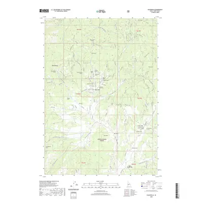
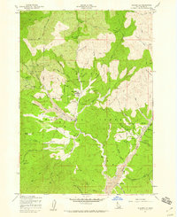 1957 Placerville1959 Print · USGSIn the Idaho mountains during the late 1950s, this area shows a landscape transformed by the search for gold. Genealogists and historians can locate mining landmarks like Quartzburg, the Gold Hill Mine, and the old cemeteries near Centerville.3 unique versions available
 - 1959 Map of Hailey
 1959 Hailey1959 Print · USGSThe Sawtooth range and high desert plains of Southern Idaho are captured here during a period of mining and military growth. Genealogists and historians can locate mining sites like Triumph Mine, early settlements such as Idaho City, and the Mountain Home Air Force Base.2 unique versions available
 - 1962 Map of Hailey
 1962 Hailey1962 Print · USGSCentral Idaho in the early sixties showcases a landscape of high-altitude ranching and mining at the foot of the Sawtooth Mountains. Genealogists and historians can trace the rail-and-river economy through the Union Pacific Railroad corridor and explore old mining sites like the Triumph Mine or Silver Star Queens Mine.
 - 1976 Map of Placerville, 1982 Print
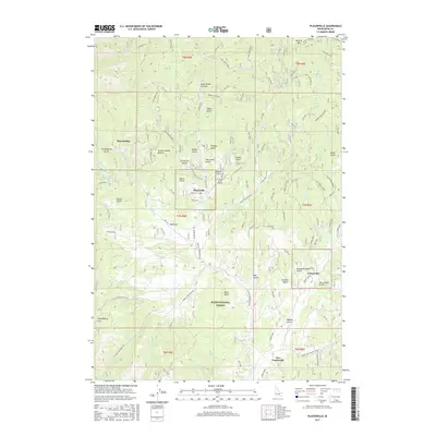
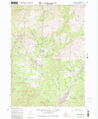 1976 Placerville1982 Print · USGSThe Boise Basin's mining landscape comes into focus in the mid-1970s, showcasing the intricate relationship between early settlements and the gold-bearing gulches. Genealogists and historians can trace family-named sites like Brassey Ranch and Star Ranch alongside historic workings at Quartzburg and the Gold Hill Mine.
 - 1982 Map of Idaho City
 1982 Idaho City1982 Print · USGSThe Boise Basin and surrounding mountains appear in the early 1980s as a land transitioning from its gold-mining roots to a recreation-focused forest landscape. Researchers can trace historic mining operations at the Gold Hill Mine or locate remote settlements like Atlanta, Rocky Bar, and Featherville.
 - 1998 Map of Placerville, 2002 Print
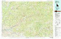
 1998 Placerville2002 Print · USGSThe mining landscapes of Boise County are preserved here as they appeared in the late nineties, documenting the enduring footprint of the Idaho Basin gold rush. Genealogists and researchers can locate family sites and old claims like Brassey Ranch, Gold Hill Mine, and the town of Placerville.
 - 2011 Map of Placerville, 2011 Print
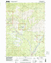
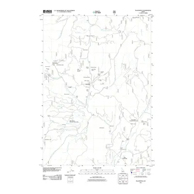 2011 Placerville2011 Print · USGSCovers Placerville Historic District, including Placerville, Boise County, and other nearby areas
 - 2013 Map of Placerville, 2013 Print
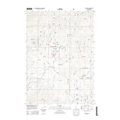 2013 Placerville2013 Print · USGSCovers Placerville Historic District, including Placerville, Boise County, and other nearby areas
 - 2017 Map of Placerville, 2017 Print
 2017 Placerville2017 Print · USGSCovers Placerville Historic District, including Placerville, Boise County, and other nearby areas
 - 2020 Map of Placerville, 2020 Print
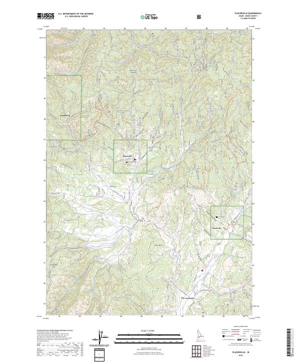
 2020 Placerville2020 Print · USGSCovers Placerville Historic District, including Placerville, Boise County, and other nearby areas
 - 2023 Map of Placerville, 2023 Print
 2023 Placerville2023 Print · USGSThe high-country mining district of the Boise Basin is shown in detail here during the twenty-first century. Genealogists and historians can trace the foundations of old settlements like Placerville, Centerville, and Quartzburg, alongside the Placerville Cem.
End of results
Showing maps 1-13 of 13
Frequently asked questions
- What are the different types of historical maps available for Placerville Historic District?
- What is the oldest map of Placerville Historic District?
- Where can I purchase historical maps of Placerville Historic District for my home or office?
- Where can I download high-res historical maps of Placerville Historic District?
- Are there historical topographic maps available for Placerville Historic District?
- Is there historical aerial imagery available for Placerville Historic District?
- Where are historical maps of Placerville Historic District sourced from?