Old Maps of Clark Fork, Idaho for Academic Research
Study the evolution of Clark Fork with 13 high-resolution historic maps. Whether you're teaching, researching, or modeling changes in land use, these maps provide essential visual documentation of urban, environmental, and geographic change.
- Analyze long-term change: Track patterns in development, transportation, and natural features.
- Ideal for environmental or urban studies: Support academic projects with primary historical map data.
- Use in the classroom or lab: Educators and researchers rely on these maps to bring historical context to life.
These maps are a powerful tool for teaching, research, and visualizing how Clark Fork has changed over the decades.
Clark Fork, ID maps
(13)- 1911 Map of Priest Lake, 1954 Print
 1911 Priest Lake1954 Print · USGSThe Idaho Panhandle during the early 1900s was a landscape of deep lakes and high-altitude mining operations connected by new rail lines. Genealogists and historians can trace pioneer settlements like Port Hill and Coolin, or locate remote industrial sites such as the Queen Mine and Mountain Chief Mine.
 - 1913 Map of Priest Lake
 1913 Priest Lake1913 Print · USGSThe Idaho Panhandle was a rugged network of rail sidings and mining camps in the years before the Great War. Genealogists and historians can trace old homesteads and depots from Sandpoint up to the Continental Mine and the remote border crossing at Addie.3 unique versions available
 - 1951 Map of Clark Fork, 1952 Print
 1951 Clark Fork1952 Print · USGSThe Idaho-Montana borderlands are captured here in the early 1950s just as the river valley was preparing for major hydroelectric changes. Researchers can trace the legacy of local mining at Whitedelf Mine or locate early school sites like the River Echo Sch (Aband).4 unique versions available
 - 1958 Map of Sandpoint, 1966 Print
 1958 Sandpoint1966 Print · USGSThe Idaho Panhandle and Northeast Washington are shown here in the late fifties, when timber and hydroelectric power drove the local economy. Trace family roots in rail-side towns like Cusick or Metaline Falls, and locate landmarks like the Albeni Falls Dam or Falls Ranger Station.2 unique versions available
 - 1963 Map of Sandpoint
 1963 Sandpoint1963 Print · USGSNorthern Idaho and eastern Washington are shown in the early sixties as a high-country network of timber, mining, and rail. Genealogists and historians can trace the Great Northern line through Metaline Falls, Bonners Ferry, and past the Finch Mine.
 - 1984 Map of Sandpoint
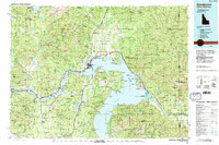 1984 Sandpoint1984 Print · USGSThe Idaho Panhandle in the early 1980s shows a landscape of deep lakes and working forests centered on the rail hub of Sandpoint. Researchers can trace the legacy of regional industry through the Spokane International rail lines and mining sites like the Gold Coin Mine and Sulphide Mine.2 unique versions available
 - 1989 Map of Clark Fork
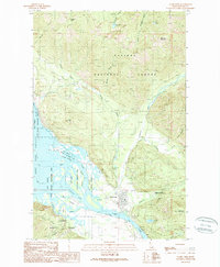 1989 Clark Fork1989 Print · USGSIn the late eighties, the town of Clark Fork thrived at the confluence of the river and Pend Oreille Lake. Researchers and historians can locate mining sites like Whitedelf Mine and the University of Idaho Field Campus.
 - 1996 Map of Clark Fork, 1999 Print
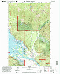 1996 Clark Fork1999 Print · USGSThe river delta at Clark Fork and the northeastern shores of Pend Oreille Lake are shown here during the late twentieth century. Genealogists and historians can trace several local mining operations such as the Whitedelf Mine, find the Cemetery near the river, or locate the University of Idaho Field Campus.
 - 2011 Map of Clark Fork, 2011 Print
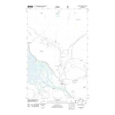 2011 Clark Fork2011 Print · USGSThe northern tip of Lake Pend Oreille and the Clark Fork delta are mapped here in the early twenty-first century. Genealogists and historians can locate the Whitedelf Mine, the Idaho State Fish Hatchery, and the University of Idaho Clark Fork Field Campus.
 - 2013 Map of Clark Fork, 2013 Print
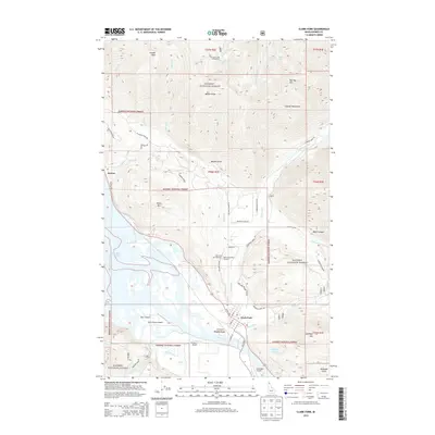 2013 Clark Fork2013 Print · USGSThe community of Clark Fork and the shores of Lake Pend Oreille are documented here during the early twenty-first century. Researchers can trace local aviation history at Delta Shores Airport and locate regional landmarks like the Clark Fork Fish Hatchery.
 - 2017 Map of Clark Fork, 2017 Print
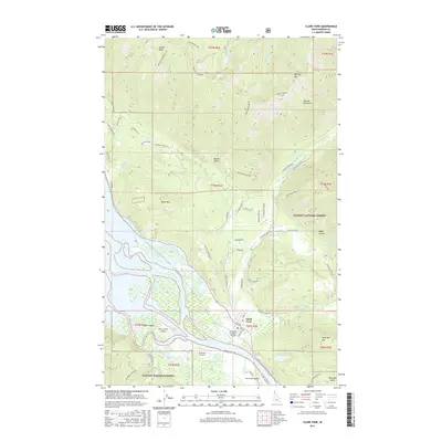 2017 Clark Fork2017 Print · USGSThe river delta meets the Cabinet Mountains in this contemporary Bonner County map centered on Clark Fork. Local researchers can trace family landmarks and backcountry geography from Antelope Lake to the Delta Shores Airport and Bee Top Mtn.
 - 2020 Map of Clark Fork, 2020 Print
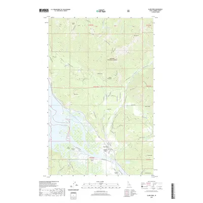 2020 Clark Fork2020 Print · USGSThe Clark Fork delta and Cabinet Mountains come to life in this recent study of northern Idaho. Researchers can trace the intersection of wilderness and aviation through the Delta Shores Airport, the winding Lightning Creek, and the heights of Bee Top Mtn.
 - 2024 Map of Clark Fork, 2024 Print
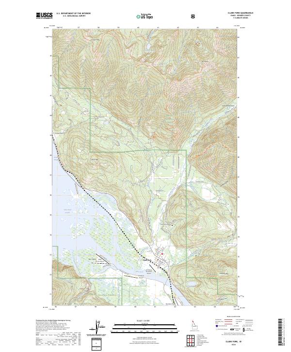 2024 Clark Fork2024 Print · USGSThe Clark Fork river delta and the Cabinet Mountains are captured here in the mid-2020s as the town serves as a hub between the high peaks and Lake Pend Oreille. Researchers can trace aviation history at CX-Ranch Airport or explore local landmarks like the Clark Fork Cemetery and Denton Slough.
End of results
Showing maps 1-13 of 13
Top cities near Clark Fork
Frequently asked questions
- What are the different types of historical maps available for Clark Fork?
- What is the oldest map of Clark Fork?
- Where can I purchase historical maps of Clark Fork for my home or office?
- Where can I download high-res historical maps of Clark Fork?
- Are there historical topographic maps available for Clark Fork?
- Is there historical aerial imagery available for Clark Fork?
- Where are historical maps of Clark Fork sourced from?