Old Maps of Bone, Idaho for Metal Detecting
Plan your next treasure hunt with 11 historic maps of Bone. Find old homesites, ghost towns, trails, and gathering spots that may be lost to time — perfect for identifying promising metal detecting locations.
- Locate forgotten sites: Uncover places like long-lost settlements, abandoned rail lines, or gathering spots.
- Plan better hunts: Use map overlays combined with LiDAR or satellite views to narrow in on historically rich areas.
- Made for detectorists: Thousands of hobbyists use these maps to discover relics, coins, and hidden history.
Use these historic maps to boost your research and find new opportunities beneath the surface of Bone.
Bone, ID maps
(11)- 1924 Map of Ammon, 1958 Print
 1924 Ammon1958 Print · USGSSoutheast Idaho at the dawn of the motorized age shows a landscape of developing irrigation and rural schools. You can trace the path of the Union Pacific through Ammon or locate historic schoolhouses like Dewey School and Henry Creek School.3 unique versions available
 - 1955 Map of Driggs, 1967 Print
 1955 Driggs1967 Print · USGSEastern Idaho and Western Wyoming appear at a mid-century crossroads as the river valleys were fully settled and the high peaks protected. Genealogists and researchers can trace the rail towns of Rexburg and Driggs or follow the Snake River from Irwin to the Palisades Reservoir.3 unique versions available
 - 1958 Map of Driggs
 1958 Driggs1958 Print · USGSThe high Teton peaks and Snake River valleys are captured here in the mid-fifties, showing the region's agricultural and wilderness boundaries. Researchers can trace the Union Pacific rail corridor through Rexburg or locate early settlements like Clementsville and Tetonia.2 unique versions available
 - 1962 Map of Driggs
 1962 Driggs1962 Print · USGSThe Idaho-Wyoming borderlands are captured here in the early sixties, showing the peaks and valleys of the northern Rockies. Genealogists and historians can trace rail lines like the Union Pacific RR and isolated outposts like the National Elk Refuge or the Fort Hall Indian Reservation.
 - 1963 Map of Bone, 1977 Print
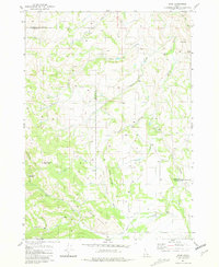 1963 Bone1977 Print · USGSBingham and Bonneville counties were defined by remote watersheds and high-mountain divides during the late 1970s and early 1980s. Researchers can trace the rugged network of 4 WD trails leading to Bone or locate local landmarks like High Bridge and Ziegler Mountain.
 - 1986 Map of Palisades, 1987 Print
 1986 Palisades1987 Print · USGSThe Idaho-Wyoming borderlands are captured here in the mid-1980s, where the high ridges of the Caribou Range meet the vital Snake River corridor. Researchers can trace the water-management history of Palisades Reservoir or locate the Monte Cristo Mine and Evergreen Mine near the Caribou Basin.2 unique versions available
 - 2010 Map of Bone, 2010 Print
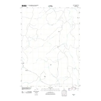 2010 Bone2010 Print · USGSBone and its surrounding highlands are captured in the early 21st century, showing the remote settlement's relationship to the high-country landscape. Researchers can trace rural water management and topographic markers like Bohn Dam, Birch Creek Mountain, and Coyote Ridge.
 - 2013 Map of Bone, 2013 Print
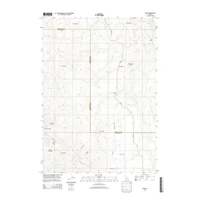 2013 Bone2013 Print · USGSThe remote ranching outpost of Bone and the surrounding high-country ridges are documented here during the early twenty-first century. Researchers can trace the rugged drainage networks through Wolverine Canyon and across the Willow Creek Lava Field.
 - 2017 Map of Bone, 2017 Print
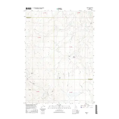 2017 Bone2017 Print · USGSThe high desert of Idaho comes to life in this 2017 survey of the Bone area. Researchers can trace remote mountain roads and geological landmarks like the Willow Creek Lava Field, Wolverine Canyon, and the peaks of the Blackfoot Mountains.
 - 2020 Map of Bone, 2020 Print
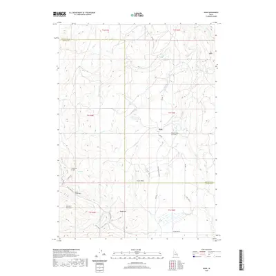 2020 Bone2020 Print · USGSBone and the surrounding high country are captured here in the modern era as the ranching and volcanic landscapes of Southeast Idaho continue to evolve. Researchers can trace the paths of Bone Rd, find the extent of the Willow Creek Lava Field, and locate peaks like Birch Creek Mtn.
 - 2023 Map of Bone, 2023 Print
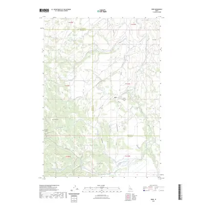 2023 Bone2023 Print · USGSBone and the surrounding high-country border of Bonneville and Bingham counties are captured in this recent survey. Researchers can trace the rugged drainage systems of Willow Creek and Sellars Creek or locate landmarks like the Willow Creek Lava Field and Birch Creek Mtn.2 unique versions available
End of results
Showing maps 1-11 of 11
Top cities near Bone
Frequently asked questions
- What are the different types of historical maps available for Bone?
- What is the oldest map of Bone?
- Where can I purchase historical maps of Bone for my home or office?
- Where can I download high-res historical maps of Bone?
- Are there historical topographic maps available for Bone?
- Is there historical aerial imagery available for Bone?
- Where are historical maps of Bone sourced from?