Old Maps of Butte City, Idaho for Hiking & Exploration
Hike through history with 9 historic maps of Butte City. Explore old trails, ghost towns, and forgotten backroads — perfect for outdoor adventurers and local explorers.
- Rediscover forgotten places: Map out old mining camps, roads, and footpaths that no longer exist on modern maps.
- Layer with modern tools: Combine with LiDAR or satellite views to plan hikes through historical terrain.
- Made for exploration: Popular among hikers, overlanders, and local history lovers.
Use these maps to find adventure and explore the hidden past of Butte City.
Butte City, ID maps
(9)- 1955 Map of Idaho Falls, 1963 Print
 1955 Idaho Falls1963 Print · USGSThe Snake River Plain and its surrounding volcanic peaks are captured in the late fifties, showing the region's unique mix of nuclear research and high-desert ranching. Trace the industrial footprint of the National Reactor Testing Station or find old mining sites like Empire Mine.5 unique versions available
 - 1958 Map of Idaho Falls
 1958 Idaho Falls1958 Print · USGSEastern Idaho in the late fifties showcases the rapid expansion of agricultural and scientific outposts across its volcanic plains. Researchers can locate remote sites like Atomic City, mineral interests at White Knob Mine, and the cultural grounds of St Marys Mission.2 unique versions available
 - 1972 Map of Butte City, 1976 Print
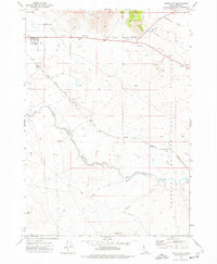 1972 Butte City1976 Print · USGSButte City stands at the edge of the high desert in the 1970s, where the valley floor meets the restricted lands of the nuclear frontier. Researchers can trace the path of the Union Pacific rail line as it skirts Deadman Flat and the deep cut of Box Canyon.
 - 1988 Map of Arco, 1989 Print
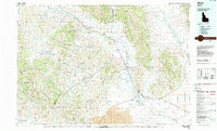 1988 Arco1989 Print · USGSThe Big Lost River Valley thrived as a high-altitude ranching and agricultural hub in the late eighties. Researchers can trace the Union Pacific line to Arco or locate smaller rural communities like Houston, Moore, and Butte City.
 - 2010 Map of Butte City, 2010 Print
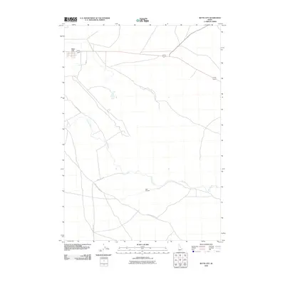 2010 Butte City2010 Print · USGSCovers Butte City, including Butte County, United States, and other nearby areas
 - 2013 Map of Butte City, 2013 Print
 2013 Butte City2013 Print · USGSCovers Butte City, including Butte County, United States, and other nearby areas
 - 2017 Map of Butte City, 2017 Print
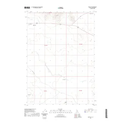
 2017 Butte City2017 Print · USGSCovers Butte City, including Butte County, United States, and other nearby areas
 - 2020 Map of Butte City, 2020 Print
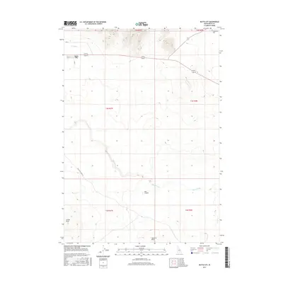
 2020 Butte City2020 Print · USGSCovers Butte City, including Butte County, United States, and other nearby areas
 - 2023 Map of Butte City, 2023 Print
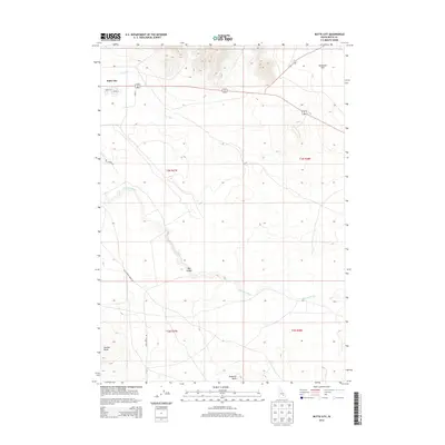
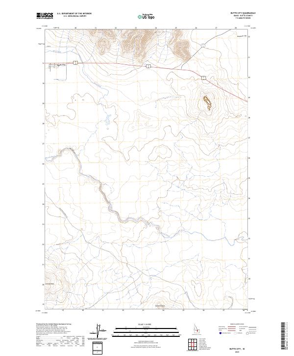 2023 Butte City2023 Print · USGSThe high-desert landscape of Butte County is centered on Butte City in this recent survey. Researchers can trace the path of the Big Lost River through Box Canyon and locate local landmarks such as Teakettle Butte and the Arco Canal.
End of results
Showing maps 1-9 of 9
Top cities near Butte City
Frequently asked questions
- What are the different types of historical maps available for Butte City?
- What is the oldest map of Butte City?
- Where can I purchase historical maps of Butte City for my home or office?
- Where can I download high-res historical maps of Butte City?
- Are there historical topographic maps available for Butte City?
- Is there historical aerial imagery available for Butte City?
- Where are historical maps of Butte City sourced from?