Old Maps of Malta, Idaho
Explore 15 old maps of Malta, spanning from 1954 to today. These high-resolution historic maps reveal how streets, neighborhoods, landmarks, and natural features evolved over time — perfect for genealogy, metal detecting, research, and local history exploration.
What you can do with these maps:
- See how Malta changed over time: Compare historical maps to modern-day views to trace roads, homesites, rail lines & more.
- View detailed metadata: Each map includes creators, publishers, year, scale, and archive source.
- Overlay maps with satellite & LiDAR: Visualize the past alongside modern tools to explore terrain & human change.
- Trusted historical sources: Maps sourced from the USGS, Library of Congress, and other archives.
- Access maps your way: View online, download high-res files, or order prints for personal or research use.
Start exploring old maps of Malta to uncover forgotten places, hidden landmarks, and the deep history beneath your feet.
Malta, ID maps
(15)- 1954 Map of Pocatello, 1963 Print
 1954 Pocatello1963 Print · USGSSoutheast Idaho in the mid-1950s reveals a landscape shaped by massive water reclamation and mountain forests. Researchers can trace the development of the Fort Hall Indian Reservation or locate specific landmarks like the Arbon P O and Emerson School.4 unique versions available
 - 1958 Map of Pocatello
 1958 Pocatello1958 Print · USGSSoutheastern Idaho in the late fifties was a landscape of expanding reservoirs and historic trails. Genealogists and historians can trace the Old Oregon Trail, locate the Bannock Creek Indian Day School, and study the many Union Pacific rail sidings.2 unique versions available
 - 1968 Map of Malta, 1972 Print
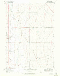 1968 Malta1972 Print · USGSThe Raft River Valley in the late 1960s reveals a quiet agricultural landscape defined by its pioneer trails and evolving transport. Genealogists and historians can trace the Hudspeth Cutoff and locate the Malta Cem near the Raft River HS.
 - 1968 Map of Nibbs Creek, 1972 Print
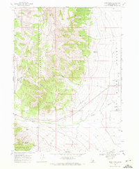 1968 Nibbs Creek1972 Print · USGSSouthern Idaho ranching and aviation come to life in the late sixties as the high desert meets the valley floor. Genealogists can trace family footprints near Malta and Connor, or locate old landmarks like the Malta Landing Field and Nibbs Spring.2 unique versions available
 - 1993 Map of Oakley
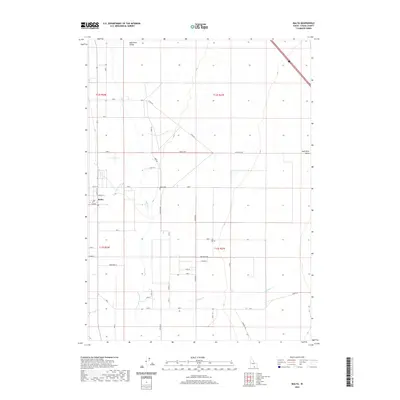
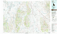 1993 Oakley1993 Print · USGSCassia County in the early nineties features a vast landscape of high-desert basins and granite formations. Genealogists and historians can trace the Hudspeth Cutoff, an Old Railroad Grade, and vanished towns like Churchill.
 - 2010 Map of Malta, 2010 Print
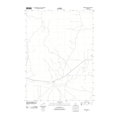
 2010 Malta2010 Print · USGSCovers Malta, including Cassia County, United States, and other nearby areas
 - 2010 Map of Nibbs Creek, 2010 Print
 2010 Nibbs Creek2010 Print · USGSCovers Malta, including Cassia County, United States, and other nearby areas
 - 2013 Map of Malta, 2013 Print
 2013 Malta2013 Print · USGSCovers Malta, including Cassia County, United States, and other nearby areas
 - 2013 Map of Nibbs Creek, 2013 Print
 2013 Nibbs Creek2013 Print · USGSCovers Malta, including Cassia County, United States, and other nearby areas
 - 2017 Map of Malta, 2017 Print
 2017 Malta2017 Print · USGSCovers Malta, including Cassia County, United States, and other nearby areas
 - 2017 Map of Nibbs Creek, 2017 Print
 2017 Nibbs Creek2017 Print · USGSCovers Malta, including Cassia County, United States, and other nearby areas
 - 2020 Map of Malta, 2020 Print
 2020 Malta2020 Print · USGSCovers Malta, including Cassia County, United States, and other nearby areas
 - 2020 Map of Nibbs Creek, 2020 Print
 2020 Nibbs Creek2020 Print · USGSCovers Malta, including Cassia County, United States, and other nearby areas
 - 2023 Map of Nibbs Creek, 2023 Print
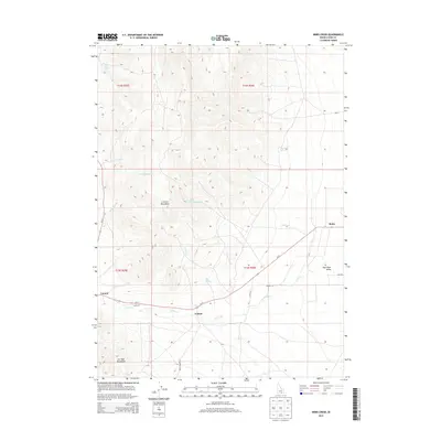
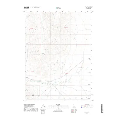
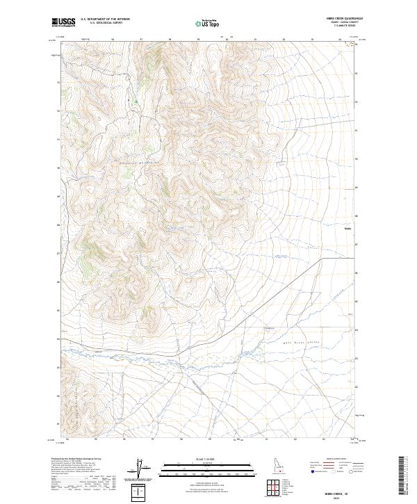 2023 Nibbs Creek2023 Print · USGSCassia County, Idaho, is documented in the modern era as a landscape of high mountain ridges and vital desert springs. Local researchers can trace land use through named routes like Ward Sheep Ranch Rd and landmarks such as Nibbs Spring and Malta.
 - 2023 Map of Malta, 2023 Print
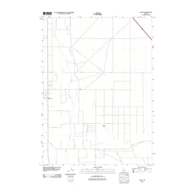
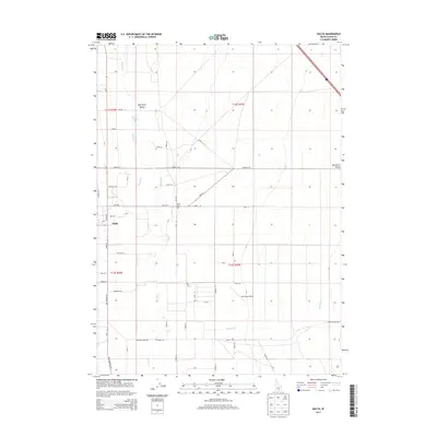
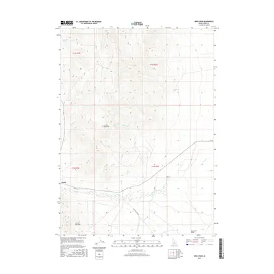
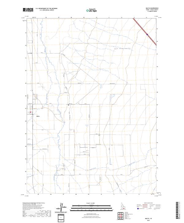 2023 Malta2023 Print · USGSThe rural community of Malta and the surrounding agricultural grid of the Raft River Valley are captured here in the early 2020s. Genealogists can trace local history through family-named landmarks like Neddo Ln and Tilfer Rd or locate the Malta Cem.
End of results
Showing maps 1-15 of 15
Top cities near Malta
Frequently asked questions
- What are the different types of historical maps available for Malta?
- What is the oldest map of Malta?
- Where can I purchase historical maps of Malta for my home or office?
- Where can I download high-res historical maps of Malta?
- Are there historical topographic maps available for Malta?
- Is there historical aerial imagery available for Malta?
- Where are historical maps of Malta sourced from?