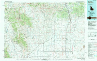
Old Maps of Dubois, Idaho for Hiking & Exploration
Hike through history with 9 historic maps of Dubois. Explore old trails, ghost towns, and forgotten backroads — perfect for outdoor adventurers and local explorers.
- Rediscover forgotten places: Map out old mining camps, roads, and footpaths that no longer exist on modern maps.
- Layer with modern tools: Combine with LiDAR or satellite views to plan hikes through historical terrain.
- Made for exploration: Popular among hikers, overlanders, and local history lovers.
Use these maps to find adventure and explore the hidden past of Dubois.
Dubois, ID maps
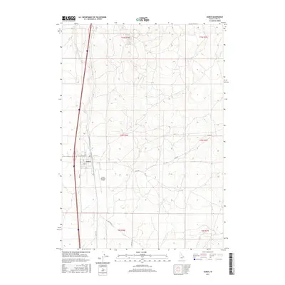
(9)- 1955 Map of Dubois
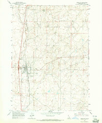
 1955 Dubois1955 Print · USGSThe high desert and mountain passes of eastern Idaho and western Montana are captured here during the mid-fifties. Researchers can trace the Union Pacific rail line through Dubois or locate the National Reactor Testing Station.4 unique versions available
 - 1958 Map of Dubois
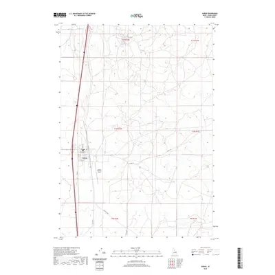
 1958 Dubois1958 Print · USGSThe high divide between Idaho and Montana comes alive in this mid-century survey, from the mining camps of the Lemhi Range to the ranchlands of Centennial Valley. Trace historic operations at the Copper Queen Mine, the route of the Union Pacific RR, and the scientific work at the Sheep experimental station.2 unique versions available
 - 1964 Map of Dubois NW, 1965 Print
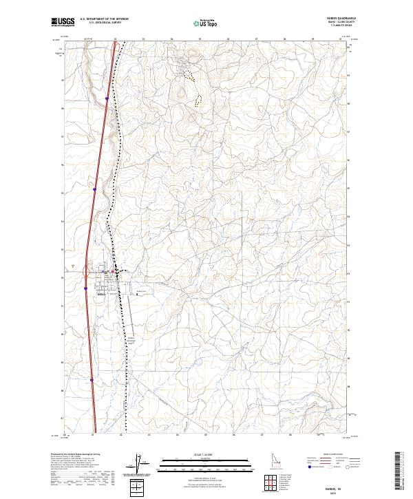
 1964 Dubois NW1965 Print · USGSDubois and the surrounding high plains of Clark County are captured here in the mid-sixties, dominated by the railroad and livestock industry. Genealogists and historians can trace the local Stockyards, the Cem, and the sprawling U S Sheep Experiment Station.
 - 1983 Map of Dubois
 1983 Dubois1983 Print · USGSEastern Idaho's high-country ranching and research landscape is captured here in the early 1980s. Local researchers can trace the Union Pacific line through Dubois, locate the sprawling U S Sheep Experiment Station, or find the former location of Winsper (Site).
 - 2010 Map of Dubois, 2010 Print
 2010 Dubois2010 Print · USGSCovers Dubois, including Clark County, United States, and other nearby areas
 - 2013 Map of Dubois, 2013 Print
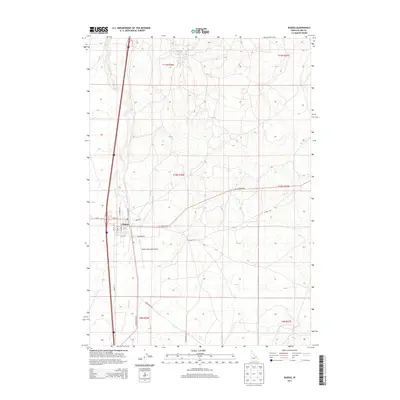 2013 Dubois2013 Print · USGSCovers Dubois, including Clark County, United States, and other nearby areas
 - 2017 Map of Dubois, 2017 Print
 2017 Dubois2017 Print · USGSCovers Dubois, including Clark County, United States, and other nearby areas
 - 2020 Map of Dubois, 2020 Print
 2020 Dubois2020 Print · USGSCovers Dubois, including Clark County, United States, and other nearby areas
 - 2023 Map of Dubois, 2023 Print
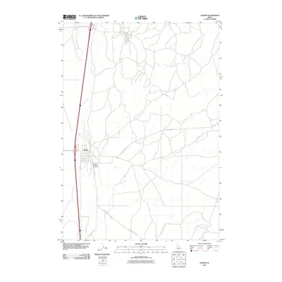
 2023 Dubois2023 Print · USGSIn the high desert of Clark County, the settlement of Dubois is captured at a point of modern transition. Researchers can trace the town's grid along N Reynolds St and follow the vital water course of Beaver Creek through the surrounding landscape.
End of results
Showing maps 1-9 of 9
Frequently asked questions
- What are the different types of historical maps available for Dubois?
- What is the oldest map of Dubois?
- Where can I purchase historical maps of Dubois for my home or office?
- Where can I download high-res historical maps of Dubois?
- Are there historical topographic maps available for Dubois?
- Is there historical aerial imagery available for Dubois?
- Where are historical maps of Dubois sourced from?