Old Maps of Winder, Idaho for Hiking & Exploration
Hike through history with 12 historic maps of Winder. Explore old trails, ghost towns, and forgotten backroads — perfect for outdoor adventurers and local explorers.
- Rediscover forgotten places: Map out old mining camps, roads, and footpaths that no longer exist on modern maps.
- Layer with modern tools: Combine with LiDAR or satellite views to plan hikes through historical terrain.
- Made for exploration: Popular among hikers, overlanders, and local history lovers.
Use these maps to find adventure and explore the hidden past of Winder.
Winder, ID maps
(12)- 1915 Map of Preston
 1915 Preston1915 Print · USGSSoutheastern Idaho and northern Utah are defined by their river valleys and early irrigation networks during the mid-1910s. Genealogists can locate family landmarks like the Thatcher Meetinghouse, Egypt School, and the path of the Oregon Short Line.2 unique versions available
 - 1918 Map of Preston
 1918 Preston1918 Print · USGSSouthern Idaho and northern Utah are captured just before the close of the Great War, showing a landscape of burgeoning farm towns and irrigation canals. Researchers can trace the Oregon Short Line to early settlements like Preston or locate rural landmarks like the Thatcher Meetinghouse and Egypt School.2 unique versions available
 - 1955 Map of Preston, 1968 Print
 1955 Preston1968 Print · USGSSoutheast Idaho and western Wyoming are shown in detail during the mid-fifties, from the high Bear River Range to the Green River Basin. Genealogists and collectors can trace the Union Pacific RR through historic towns like Preston, Montpelier, and Afton.3 unique versions available
 - 1958 Map of Preston
 1958 Preston1958 Print · USGSThe high valleys of the Idaho and Wyoming borderlands are captured here in the late fifties, showcasing a landscape of mountain ranching and phosphate mining. Genealogists and historians can locate early settlements like Chesterfield and Bedford or trace the Union Pacific rail lines serving Cokeville.2 unique versions available
 - 1962 Map of Preston
 1962 Preston1962 Print · USGSSoutheast Idaho and the Wyoming borderlands are captured here in the early sixties, a time of thriving agricultural valleys and mountain ranching. Researchers can trace the Union Pacific rail lines and find legacy settlements like Montpelier, Afton, and Preston.
 - 1969 Map of Banida, 1973 Print
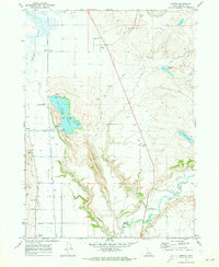 1969 Banida1973 Print · USGSFranklin County's irrigation and rail landscape is captured here in the late sixties as agricultural development shaped the valley. Genealogists and local historians can trace family roots through small settlements like Banida and Dayton or locate the Pioneer Women Historical Monument and Wayland Hot Springs.
 - 1983 Map of Preston
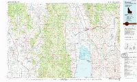 1983 Preston1983 Print · USGSSoutheast Idaho and the tri-state border region thrived on a mix of mountain agriculture and rail transport in the early eighties. Genealogists and historians can trace the Union Pacific corridor through Preston or locate family landmarks in Mound Valley and Paris.
 - 2010 Map of Banida, 2010 Print
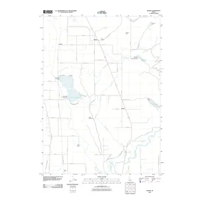 2010 Banida2010 Print · USGSFranklin County's agricultural and irrigation landscape is captured here in the early twenty-first century. Researchers can trace historic water routes and transit points like Wayland Hot Springs, the West Cache Canal, and the Beers Spur rail siding.
 - 2013 Map of Banida, 2013 Print
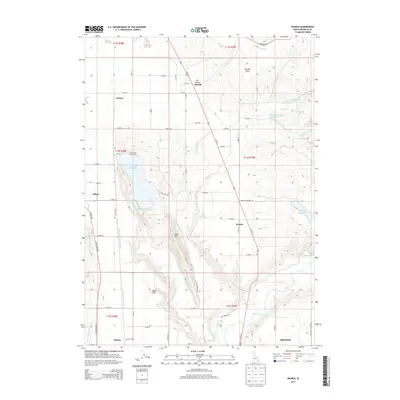 2013 Banida2013 Print · USGSThe rural landscape of Franklin County is defined by its early 21st-century irrigation networks and small-town rail sidings. Researchers can trace the water systems of Twin Lakes Canal or locate historic transit points like Dayton Siding and Beers Spur.
 - 2017 Map of Banida, 2017 Print
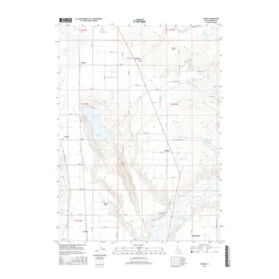 2017 Banida2017 Print · USGSFranklin County's irrigation and settlement patterns are preserved here in the late twenty-tens. Researchers can trace family sites near Banida, Wayland Hot Springs, and the historic Beers Spur rail line.
 - 2020 Map of Banida, 2020 Print
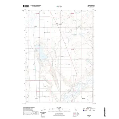 2020 Banida2020 Print · USGSFranklin County's agricultural heartland is documented here in the early twenty-first century as a landscape defined by its irrigation and river networks. Researchers can trace the layout of Dayton and Clifton or locate Wayland Hot Springs and Oxford Slough.
 - 2024 Map of Banida, 2024 Print
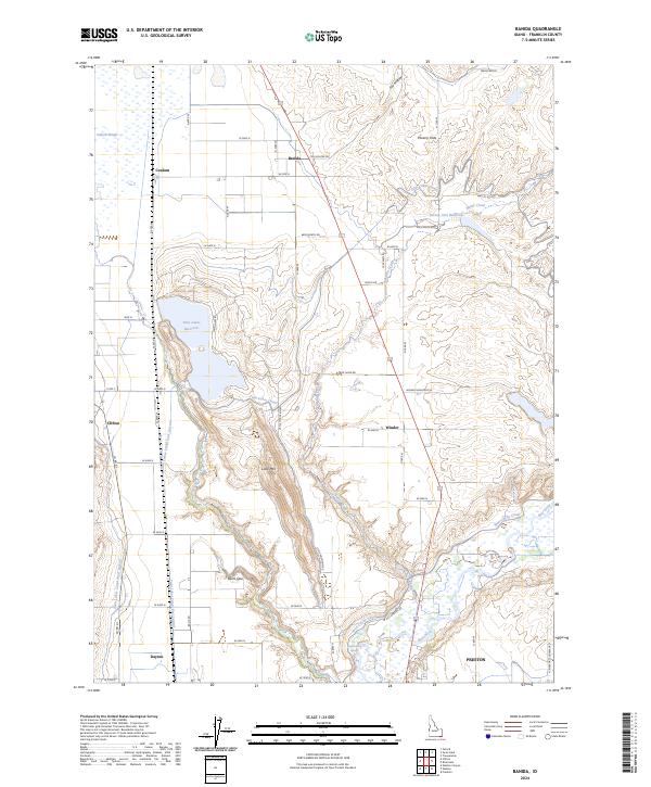 2024 Banida2024 Print · USGSFranklin County's irrigation and ranching landscape is captured here in the contemporary era. Researchers can trace rural lineages through local hubs like Banida, Dayton, and Beers Spur, or locate specific landmarks such as Wayland Hot Springs and Poverty Flats.
End of results
Showing maps 1-12 of 12
Top cities near Winder
- Preston historical maps
- Lewiston historical maps
- Franklin historical maps
- Dayton historical maps
- Weston historical maps
- Clifton historical maps
See more
Frequently asked questions
- What are the different types of historical maps available for Winder?
- What is the oldest map of Winder?
- Where can I purchase historical maps of Winder for my home or office?
- Where can I download high-res historical maps of Winder?
- Are there historical topographic maps available for Winder?
- Is there historical aerial imagery available for Winder?
- Where are historical maps of Winder sourced from?