Old Maps of Dixie, Idaho for Genealogy
Trace your family roots with 10 historic maps of Dixie. These high-res maps reveal old neighborhoods, homesites, landmarks, and streets — helping you uncover where your ancestors lived and how the area evolved over time.
- Explore historic neighborhoods: Identify where your relatives may have lived in the 1800s or 1900s.
- Compare maps over time: Trace the changes in streets, buildings, and landmarks for multi-generational research.
- Perfect for genealogy & ancestry research: Used by family historians and researchers to map out lineage and migration.
These maps are an incredible resource for exploring your personal connection to Dixie's past.
Dixie, ID maps
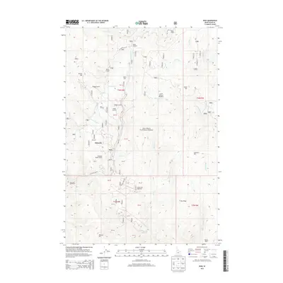
(10)- 1956 Map of Elk City, 1963 Print
 1956 Elk City1963 Print · USGSThe Idaho backcountry in the mid-fifties remains a landscape of isolated mining camps and remote forest outposts. Researchers can trace historical mining operations at Stibnite Mine and Blackbird Mine or locate riverside landmarks like Mackay Bar and Campbell's Ferry.3 unique versions available
 - 1960 Map of Elk City
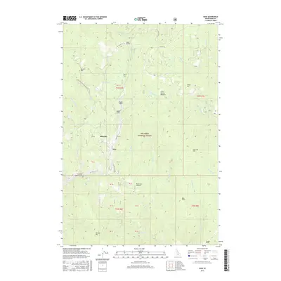
 1960 Elk City1960 Print · USGSThe Central Idaho wilderness and Bitterroot Range are captured here during the peak of mid-century industrial mining. Researchers can trace remote backcountry settlements like Burgdorf and Warren, alongside major mineral sites including the Blackbird Mine and Ima Mine.2 unique versions available
 - 1979 Map of Dixie, 1985 Print
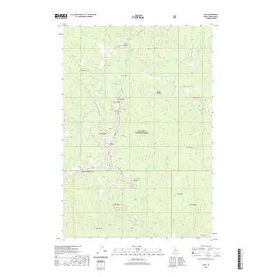
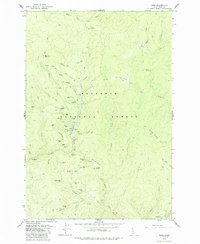 1979 Dixie1985 Print · USGSThe high Idaho backcountry of the late 1970s is revealed here as a landscape shaped by a legacy of mountain mining and remote outposts. Historians can trace numerous mining operations including the Black Diamond Mine and North Star Mine, alongside landmarks like Dixie House and the Midasville site.2 unique versions available
 - 1981 Map of Elk City
 1981 Elk City1981 Print · USGSIdaho County's gold-mining heartland is surveyed here in the early 1980s, from the river canyons to the high peaks. Genealogists and historians can trace numerous mining operations like the Mother Lode Mine and Golden Hand Mine, or locate remote settlements such as Orogrande and Elk City.2 unique versions available
 - 1995 Map of Dixie, 1999 Print
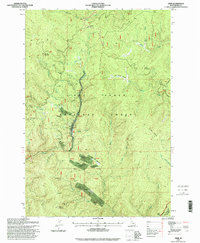 1995 Dixie1999 Print · USGSThe Dixie mining district of Idaho County is captured here in the 1990s, showcasing a landscape shaped by gold seeking and forest service history. Genealogists and researchers can locate historic sites like Midasville and trace active or old workings including the Dixie Queen Mine and Black Diamond Mine.
 - 2011 Map of Dixie, 2011 Print
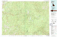
 2011 Dixie2011 Print · USGSCovers Dixie, including Idaho County, United States, and other nearby areas
 - 2013 Map of Dixie, 2013 Print
 2013 Dixie2013 Print · USGSCovers Dixie, including Idaho County, United States, and other nearby areas
 - 2017 Map of Dixie, 2017 Print
 2017 Dixie2017 Print · USGSCovers Dixie, including Idaho County, United States, and other nearby areas
 - 2020 Map of Dixie, 2020 Print
 2020 Dixie2020 Print · USGSCovers Dixie, including Idaho County, United States, and other nearby areas
 - 2024 Map of Dixie, 2024 Print
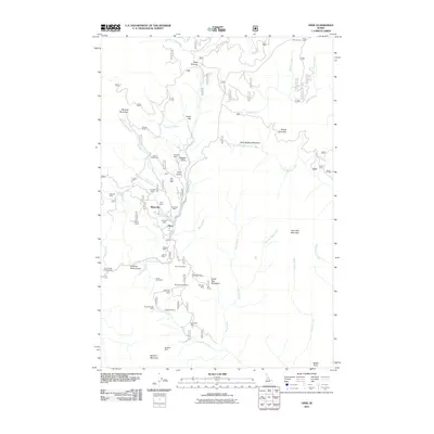
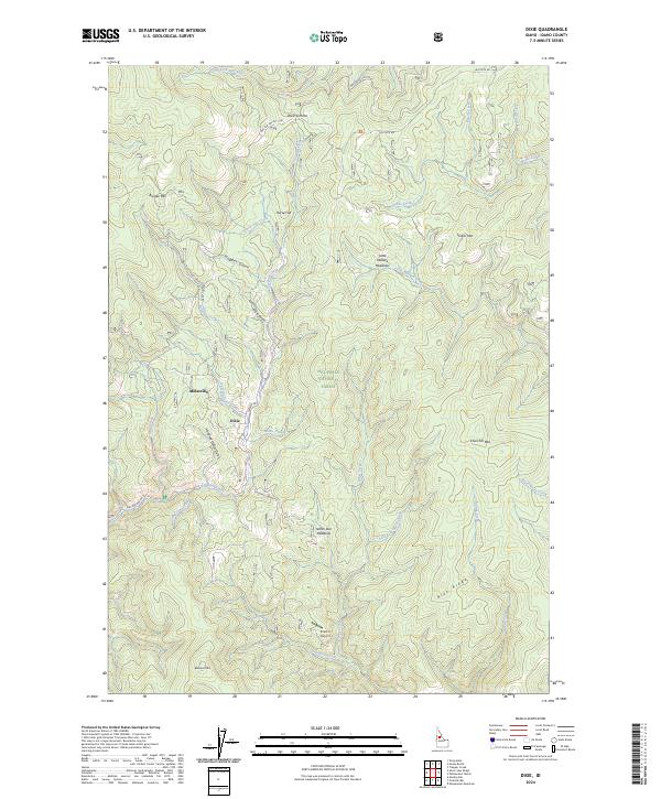 2024 Dixie2024 Print · USGSThe high Idaho backcountry around Dixie and Midasville is shown here in the 2020s, dominated by the Nez Perce National Forest. Researchers can trace the local gold-mining heritage through names like Nugget Gulch and Hundred Dollar Gulch, or locate high-mountain meadows such as North Star Meadows.
End of results
Showing maps 1-10 of 10
Frequently asked questions
- What are the different types of historical maps available for Dixie?
- What is the oldest map of Dixie?
- Where can I purchase historical maps of Dixie for my home or office?
- Where can I download high-res historical maps of Dixie?
- Are there historical topographic maps available for Dixie?
- Is there historical aerial imagery available for Dixie?
- Where are historical maps of Dixie sourced from?