Old Maps of North Fork, Idaho for Metal Detecting
Plan your next treasure hunt with 12 historic maps of North Fork. Find old homesites, ghost towns, trails, and gathering spots that may be lost to time — perfect for identifying promising metal detecting locations.
- Locate forgotten sites: Uncover places like long-lost settlements, abandoned rail lines, or gathering spots.
- Plan better hunts: Use map overlays combined with LiDAR or satellite views to narrow in on historically rich areas.
- Made for detectorists: Thousands of hobbyists use these maps to discover relics, coins, and hidden history.
Use these historic maps to boost your research and find new opportunities beneath the surface of North Fork.
North Fork, ID maps
(12)- 1955 Map of Dillon, 1978 Print
 1955 Dillon1978 Print · USGSSouthwest Montana at the dawn of the interstate era reveals a landscape of high-mountain ranching and historic mining camps. Trace the routes of the Union Pacific through Dillon and Armstead, or locate early settlements like Bannack and Wisdom.2 unique versions available
 - 1957 Map of Dillon
 1957 Dillon1957 Print · USGSSouthwest Montana and Idaho in the mid-fifties reveal a high-country landscape of mountain ranges and ranching valleys. Genealogists can trace family holdings and rail stops along the Union Pacific Railroad, from Dillon to historic Virginia City and Twin Bridges.
 - 1958 Map of Dillon
 1958 Dillon1958 Print · USGSSouthwestern Montana during the late fifties reveals a high-country landscape defined by the Continental Divide and a legacy of mountain mining. Genealogists and historians can trace rail lines like the Union Pacific or locate early industrial sites including the Hecla Mine and Ermont Mine.
 - 1962 Map of Dillon
 1962 Dillon1962 Print · USGSSouthwest Montana in the early sixties is defined by its high mountain ranges and the winding rivers that carved its settlement patterns. Trace the rail routes of the Union Pacific through Dillon or locate mining activity near Butte and Argenta.
 - 1965 Map of Dillon
 1965 Dillon1965 Print · USGSSouthwest Montana in the mid-1960s is defined by its rugged river valleys and high mountain passes along the Continental Divide. Researchers can trace the path of the Union Pacific through Dillon and Armstead, or locate early mining activity near Melrose and Wise River.
 - 1966 Map of North Fork, 1971 Print
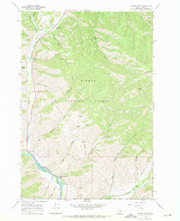 1966 North Fork1971 Print · USGSThe Salmon River and its northern fork meet in the Idaho backcountry during the mid-1960s, a landscape defined by forest service operations and historical routes. Genealogists and historians can trace the Lewis And Clark Trail alongside local landmarks like the North Fork Ranger Sta and Stein Mtn Lookout.2 unique versions available
 - 1981 Map of Salmon, 1982 Print
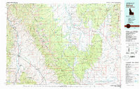 1981 Salmon1982 Print · USGSThe high mountain border between Idaho and Montana comes alive in the early 1980s as a landscape of remote mines and river junctions. Researchers can trace the heritage of the Beaverhead Mountains through sites like Elkhorn Mine, Silver King Mine, and the settlement of Wisdom.
 - 2011 Map of North Fork, 2011 Print
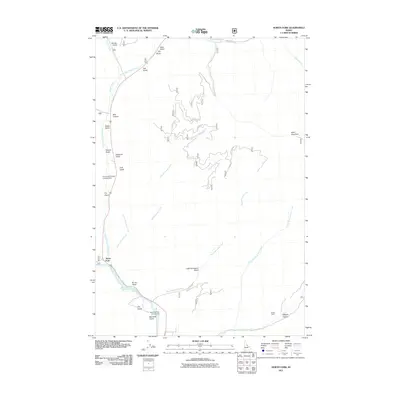 2011 North Fork2011 Print · USGSThe Salmon River confluence at North Fork is captured here in the early twenty-first century, showing a landscape defined by deep gulches and river travel. Researchers can trace the Stein Wagon road or locate Wagonhammer Campground and Stein Mountain.
 - 2013 Map of North Fork, 2013 Print
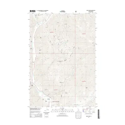 2013 North Fork2013 Print · USGSNorth Fork and the surrounding Salmon River canyon are shown here in the early twenty-first century as the river meets its northern fork. Trace the local topography through named landmarks like Stein Mtn, the Wagonhammer Campground, and the remote Bills Canyon.
 - 2017 Map of North Fork, 2017 Print
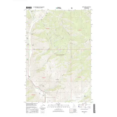 2017 North Fork2017 Print · USGSNorth Fork and the surrounding Salmon National Forest are documented here in the late twenty-teens, showing the confluence of the rivers and the high ridge country. Trace the historical path of the Lewis & Clark NHT or locate family-named landmarks like Maxwell Gulch and Stein Mtn.
 - 2020 Map of North Fork, 2020 Print
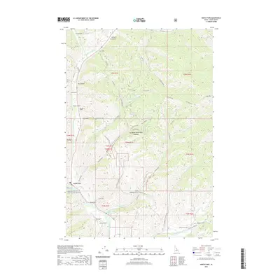 2020 North Fork2020 Print · USGSNorth Fork and the Salmon River valley are shown here in the 2020s, highlighting the rugged terrain of the Salmon National Forest. You can trace the historic Lewis & Clark Nht as it follows the ridge lines above Wagonhammer Cr and the N Fork Salmon River.
 - 2024 Map of North Fork, 2024 Print
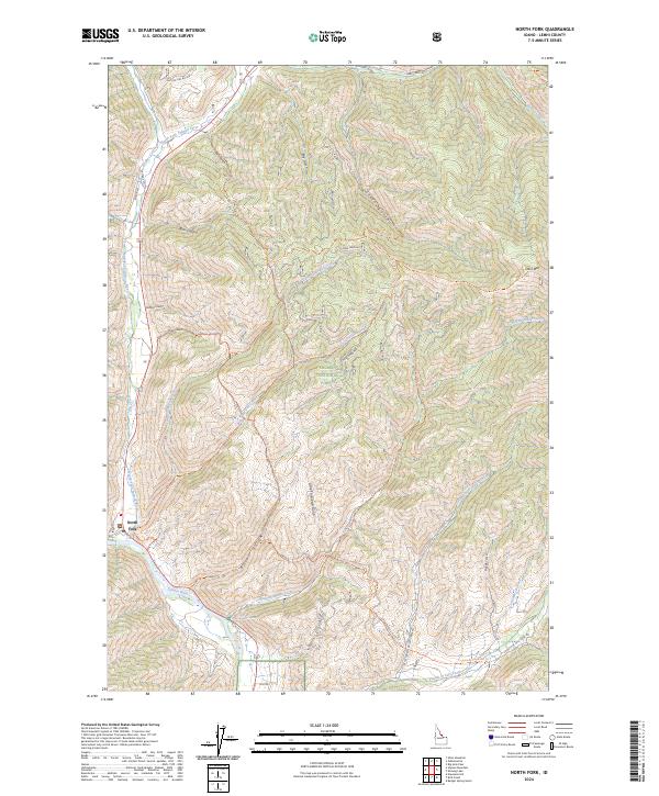 2024 North Fork2024 Print · USGSThe confluence of the Salmon Rivers in Lemhi County is documented here in a modern survey of high-elevation Idaho terrain. Researchers can trace historic routes like the Lewis & Clark Nht Trl and Stein Wagon as they wind past Stein Mtn and Wagonhammer Spring.
End of results
Showing maps 1-12 of 12
Top cities near North Fork
Frequently asked questions
- What are the different types of historical maps available for North Fork?
- What is the oldest map of North Fork?
- Where can I purchase historical maps of North Fork for my home or office?
- Where can I download high-res historical maps of North Fork?
- Are there historical topographic maps available for North Fork?
- Is there historical aerial imagery available for North Fork?
- Where are historical maps of North Fork sourced from?