1970s Maps of Lincoln County, Idaho
Explore 31 historic maps of Lincoln County from the 1970s. These maps offer a rare glimpse into what life looked like during the 1970s — showing old roads, neighborhoods, homes, and landmarks that have changed or disappeared over time.
Whether you're researching your family's past, planning a metal detecting trip, or studying how Lincoln County's landscape evolved across the 1970s, these high-resolution maps are a powerful tool for exploring the history of this region.
- Focus on a specific era: All maps on this page are from the 1970s, giving you a focused view of this time period.
- See what’s changed: Compare century-old streets, trails, and buildings to today's modern landscape using overlays and satellite layers.
- Research with precision: Use these maps for genealogy, historical research, land use analysis, or educational projects.
- View, download, or print: Maps are fully viewable online in high resolution, and can be downloaded or printed for your own records.
Start exploring Lincoln County's history through authentic maps from the 1970s. This is your window into the past.
Lincoln County, ID maps
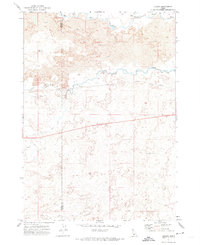
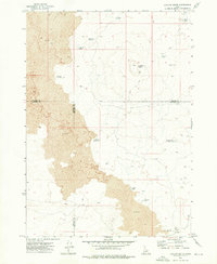
(31)- 1971 Map of Shoshone SE, 1973 Print
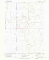
 1971 Shoshone SE1973 Print · USGSIrrigation and excavation define this section of the Magic Valley in the early seventies. Genealogists and researchers can trace water rights and land use through the Milner Gooding Canal, various Lateral channels, and several Borrow Pits.2 unique versions available
 - 1971 Map of Star Lake, 1973 Print
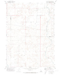
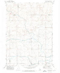
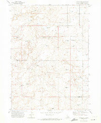
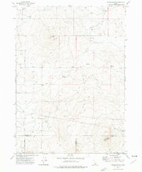
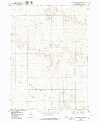
 1971 Star Lake1973 Print · USGSThe high desert of south-central Idaho in the early seventies shows a landscape transformed by water management and ranching. Trace the network of irrigation laterals and remote reservoirs like Rabbit Lake Reservoir or locate the significant Wilson Butte Cave.2 unique versions available
 - 1971 Map of Owinza, 1974 Print
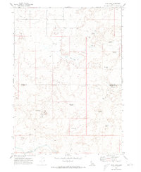
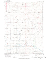
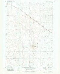
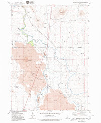
 1971 Owinza1974 Print · USGSLincoln County in the early seventies is a landscape of high-desert ranching and rail infrastructure centered on the Union Pacific line. Researchers can trace remote water improvements like Shirley G Spring, Banner Reservoir, and the Dietrich Allotment Well.2 unique versions available
 - 1971 Map of Dietrich, 1974 Print
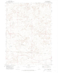
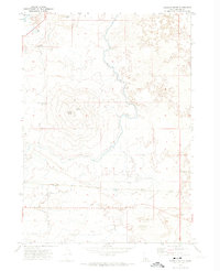
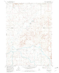
 1971 Dietrich1974 Print · USGSDietrich and the surrounding Idaho lava fields are captured in the early 1970s as a hub of railroad transport and irrigation. Researchers can trace the sophisticated water network of the Milner Gooding Canal alongside the Union Pacific line and Crater Butte.2 unique versions available
 - 1971 Map of Tunupa, 1974 Print
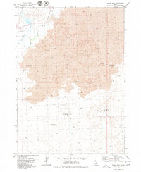
 1971 Tunupa1974 Print · USGSSouthern Idaho's volcanic plains are captured here in the early 1970s at the intersection of Gooding and Lincoln counties. Genealogists and researchers can trace the path of the Union Pacific through the settlement of Tunupa and the vital South Gooding Main Canal.2 unique versions available
 - 1971 Map of Gooding SE, 1974 Print
 1971 Gooding SE1974 Print · USGSThe intersection of Gooding, Jerome, and Lincoln Counties is shown in the early 1970s as a landscape of irrigation and desert tracks. Researchers can trace the water-management network through the Diversion Dam and Siphon, or follow remote Jeep Trails across the flats.2 unique versions available
 - 1971 Map of Shoshone SW, 1974 Print
 1971 Shoshone SW1974 Print · USGSSouthern Idaho's irrigated high desert is captured here in the early seventies along the border of Lincoln and Jerome counties. Genealogists and historians can trace water management infrastructure and land use through the North Side Main Canal and the Bacon Reservoir Ranch.2 unique versions available
 - 1971 Map of Dietrich Butte, 1974 Print
 1971 Dietrich Butte1974 Print · USGSThe volcanic plains of Lincoln County come into focus in the early 1970s, showcasing a landscape defined by desert irrigation and the railroad. Genealogists and historians can trace the Union Pacific through Besslen or locate water landmarks like Trout Waterhole and Ruiz Lake.2 unique versions available
 - 1971 Map of Owinza Butte, 1974 Print
 1971 Owinza Butte1974 Print · USGSThe high desert of the Lincoln and Jerome county border is mapped here during the early seventies. Researchers can trace remote water sources and ranching landmarks like Owinza Butte Lake, Stage Barn Well, and the oddly named One Shot Lake.2 unique versions available
 - 1971 Map of Shoshone, 1974 Print
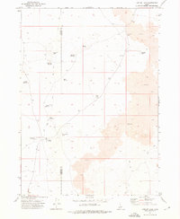
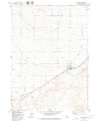
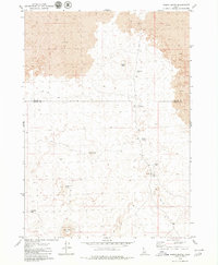
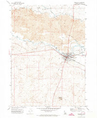 1971 Shoshone1974 Print · USGSShoshone flourished as a high-desert railroad and irrigation hub in the early seventies, where the Big and Little Wood Rivers meet. Trace the path of the Union Pacific and vital water works like the MILNER GOODING CANAL and the Diversion Dam.3 unique versions available
 - 1972 Map of Shale Butte, 1976 Print
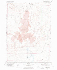 1972 Shale Butte1976 Print · USGSLincoln County’s volcanic rangelands are documented here in the early seventies, showing a landscape defined by basalt flows and remote outposts. Researchers can locate the Shale Butte Trappers Cabin and trace livestock paths past Mustard Lake and Shale Butte Lake.
 - 1972 Map of Kimama, 1976 Print
 1972 Kimama1976 Print · USGSKimama and the surrounding Snake River Plain come alive in this early 1970s survey of the Lincoln and Minidoka county line. Researchers can trace the diagonal path of the Union Pacific railroad and locate water infrastructure like the Siphon and Sage Lake.
 - 1972 Map of Kimama Butte, 1976 Print
 1972 Kimama Butte1976 Print · USGSIn the early 1970s, the high desert of southern Idaho remained a landscape of volcanic buttes and critical water management. Researchers can locate remote features like Kimama Butte Cave, the Kimama Butte Lookout Radio Tower, and Sid Reservoir.
 - 1972 Map of Community Lake, 1976 Print
 1972 Community Lake1976 Print · USGSThe high desert border of Lincoln and Minidoka counties comes into focus in the early 1970s. Researchers can trace the development of vital water infrastructure through named features like the Kimama Marsh Reservoir, Peavey Well, and Community Lake.
 - 1972 Map of Laidlaw Lake, 1976 Print
 1972 Laidlaw Lake1976 Print · USGSThe volcanic plains of Idaho's Snake River region are captured here in the early 1970s, showing a remote landscape defined by ranching and water management. Researchers can trace the network of isolated desert outposts like Laidlaw Corrals and remote water sources including Steamboat Lake and Jean Reservoir.
 - 1972 Map of Senter, 1976 Print
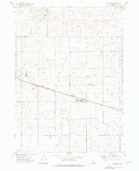
 1972 Senter1976 Print · USGSThe high desert plains of southern Idaho are captured in the early 1970s, as the Union Pacific railroad services the remote siding at Senter. Historians can trace the vital network of desert water sources like Antelope Reservoir and Clark Well.
 - 1972 Map of Laidlaw Butte, 1976 Print
 1972 Laidlaw Butte1976 Print · USGSThe volcanic Snake River Plain is captured here in the early 1970s, marking the intersection of Blaine, Lincoln, and Minidoka counties. Trace remote water sources like Baird Reservoir and landmarks like Laidlaw Butte via early Jeep Trails.
 - 1972 Map of Norland, 1976 Print
 1972 Norland1976 Print · USGSAgriculture and industry define the Minidoka County landscape in the early 1970s as the railroad drives local development. Researchers can trace the Union Pacific corridor through Adelaide and Norland, locating rural landmarks like the Cem and Glawson Substation.
 - 1978 Map of Craters Of The Moon
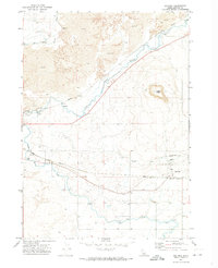
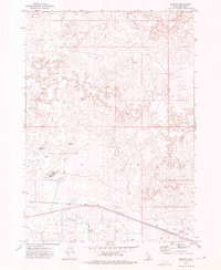
 1978 Craters Of The Moon1978 Print · USGSSouthern Idaho in the late seventies revealed a landscape of volcanic fields and pioneer trails where the High Desert meets the mountains. Researchers can trace the path of Goodale's Cutoff past Big Southern Butte or locate remote landmarks like Laidlaw Corrals.
 - 1979 Map of Richfield
 1979 Richfield1979 Print · USGSRichfield and its surrounding high desert landscapes are captured here in the late seventies as the irrigation and rail network matured. Researchers can trace the path of the Union Pacific through Marley or locate local landmarks like Reynolds Airport and the Little Wood River.
 - 1979 Map of Black Ridge Crater
 1979 Black Ridge Crater1979 Print · USGSLincoln County’s volcanic high desert is captured here in the late 1970s, showcasing a landscape defined by isolation and geology. Researchers can trace the primitive routes leading to Black Ridge Crater, Black Ridge Caves, and the essential Black Ridge Well.
 - 1979 Map of Shoshone Ice Cave
 1979 Shoshone Ice Cave1979 Print · USGSHigh desert irrigation and volcanic geology define this Idaho region during the late 1970s. Trace the path of the Union Pacific through Burmah or explore the complex water systems of the Big Wood River and Shoshone Ice Cave.2 unique versions available
 - 1979 Map of Tapper Lake
 1979 Tapper Lake1979 Print · USGSThe high desert of Blaine and Lincoln counties comes into focus in the late 1970s, showcasing a network of vital irrigation systems. Trace the winding Jim Byrns Slough and the path of the Richfield Canal past Tapper Lake and Sonners Flat.
 - 1979 Map of Pagari Well
 1979 Pagari Well1979 Print · USGSThe volcanic landscape of the Blaine and Lincoln County line is captured here in the late 1970s. Trace the remote network of a Jeep Trail and isolated water sources like Pagari Well, Silver Creek, and Monument Butte Well.
 - 1979 Map of Wagon Butte
 1979 Wagon Butte1979 Print · USGSThe lava fields of the Idaho high desert are captured here in the late seventies, showing a landscape defined by volcanic geology. Researchers can trace remote trails and watering holes like Wildhorse Lake, Rattler Reservoir, and Broken Top Butte.2 unique versions available
Showing maps 1-25 of 31
Top cities of Lincoln County
Frequently asked questions
- What are the different types of historical maps available for Lincoln County?
- What is the oldest map of Lincoln County?
- Where can I purchase historical maps of Lincoln County for my home or office?
- Where can I download high-res historical maps of Lincoln County?
- Are there historical topographic maps available for Lincoln County?
- Is there historical aerial imagery available for Lincoln County?
- Where are historical maps of Lincoln County sourced from?