Old Maps of Minidoka, Idaho for Academic Research
Study the evolution of Minidoka with 9 high-resolution historic maps. Whether you're teaching, researching, or modeling changes in land use, these maps provide essential visual documentation of urban, environmental, and geographic change.
- Analyze long-term change: Track patterns in development, transportation, and natural features.
- Ideal for environmental or urban studies: Support academic projects with primary historical map data.
- Use in the classroom or lab: Educators and researchers rely on these maps to bring historical context to life.
These maps are a powerful tool for teaching, research, and visualizing how Minidoka has changed over the decades.
Minidoka, ID maps
(9)- 1954 Map of Pocatello, 1963 Print
 1954 Pocatello1963 Print · USGSSoutheast Idaho in the mid-1950s reveals a landscape shaped by massive water reclamation and mountain forests. Researchers can trace the development of the Fort Hall Indian Reservation or locate specific landmarks like the Arbon P O and Emerson School.4 unique versions available
 - 1958 Map of Pocatello
 1958 Pocatello1958 Print · USGSSoutheastern Idaho in the late fifties was a landscape of expanding reservoirs and historic trails. Genealogists and historians can trace the Old Oregon Trail, locate the Bannock Creek Indian Day School, and study the many Union Pacific rail sidings.2 unique versions available
 - 1972 Map of Minidoka, 1976 Print
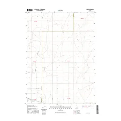
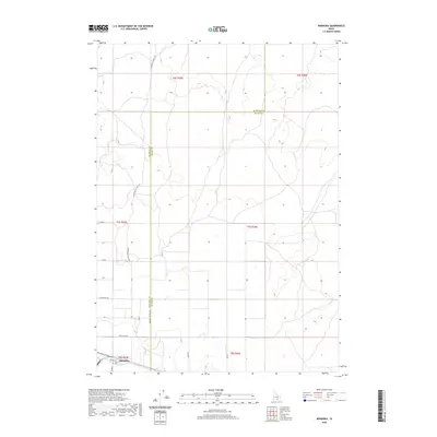
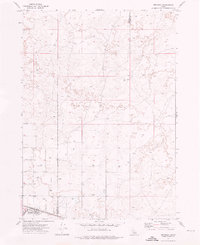 1972 Minidoka1976 Print · USGSMinidoka appears as a vital rail settlement in the early 1970s, positioned along the historic route of the Union Pacific. Researchers can trace the rural infrastructure of the era, from the local Landing Strip to the grid of 1100 North Road and family-named routes like Cherry Road.
 - 1993 Map of Lake Walcott, 1994 Print
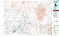 1993 Lake Walcott1994 Print · USGSMinidoka and Cassia counties come to life in the early nineties, showing a landscape shaped by the Snake River and extensive irrigation. Genealogists and local historians can trace family roots in Rupert, Burley, and smaller railroad stops like Kimama or Adelaide.
 - 2010 Map of Minidoka, 2010 Print
 2010 Minidoka2010 Print · USGSCovers Minidoka, including Blaine County, Minidoka County, and other nearby areas
 - 2013 Map of Minidoka, 2013 Print
 2013 Minidoka2013 Print · USGSCovers Minidoka, including Blaine County, Minidoka County, and other nearby areas
 - 2017 Map of Minidoka, 2017 Print
 2017 Minidoka2017 Print · USGSCovers Minidoka, including Blaine County, Minidoka County, and other nearby areas
 - 2020 Map of Minidoka, 2020 Print
 2020 Minidoka2020 Print · USGSCovers Minidoka, including Blaine County, Minidoka County, and other nearby areas
 - 2023 Map of Minidoka, 2023 Print
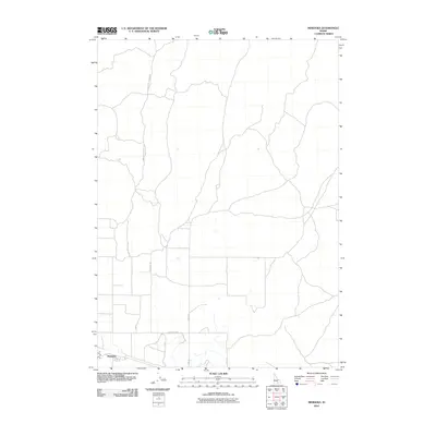
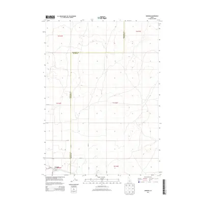
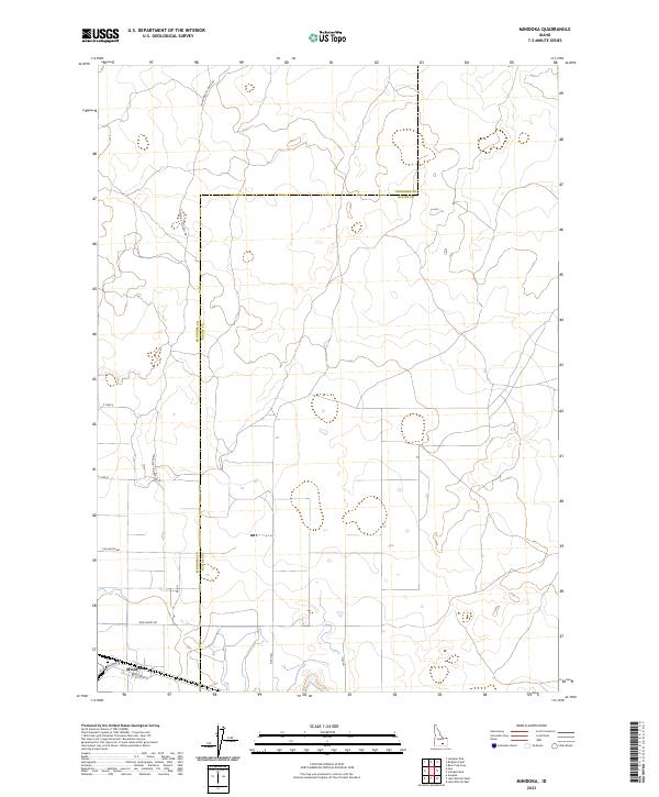 2023 Minidoka2023 Print · USGSIn the contemporary Snake River Plain, this area around Minidoka showcases the enduring layout of rural Idaho. Trace the paths of the Minidoka To Arco Rd and Yale Rd as they navigate the Minidoka Co Blaine Co border.
End of results
Showing maps 1-9 of 9
Top cities near Minidoka
Frequently asked questions
- What are the different types of historical maps available for Minidoka?
- What is the oldest map of Minidoka?
- Where can I purchase historical maps of Minidoka for my home or office?
- Where can I download high-res historical maps of Minidoka?
- Are there historical topographic maps available for Minidoka?
- Is there historical aerial imagery available for Minidoka?
- Where are historical maps of Minidoka sourced from?