Old Maps of Woodland Park, Idaho
Explore 16 old maps of Woodland Park, spanning from 1901 to today. These high-resolution historic maps reveal how streets, neighborhoods, landmarks, and natural features evolved over time — perfect for genealogy, metal detecting, research, and local history exploration.
What you can do with these maps:
- See how Woodland Park changed over time: Compare historical maps to modern-day views to trace roads, homesites, rail lines & more.
- View detailed metadata: Each map includes creators, publishers, year, scale, and archive source.
- Overlay maps with satellite & LiDAR: Visualize the past alongside modern tools to explore terrain & human change.
- Trusted historical sources: Maps sourced from the USGS, Library of Congress, and other archives.
- Access maps your way: View online, download high-res files, or order prints for personal or research use.
Start exploring old maps of Woodland Park to uncover forgotten places, hidden landmarks, and the deep history beneath your feet.
Woodland Park, ID maps
(16)- 1901 Map of Coeur D'Alene District, 1954 Print
 1901 Coeur D'Alene District1954 Print · USGSIdaho's Silver Valley hums with industrial activity at the turn of the century as silver and lead mining reach their peak. Genealogists and historians can trace the deep-vein claims of the Bunker Hill and Sullivan Mine or the narrow-canyon settlements of Burke and Mace.
 - 1903 Map of Coeur D'Alene District
 1903 Coeur D'Alene District1903 Print · USGSThe Silver Valley was at its industrial peak at the start of the century, defined by a dense network of silver and lead operations. Genealogists and historians can trace early rail lines and major works like the Standard Mines, Gem Mine, and the town of Wardner.
 - 1906 Map of Coeur D'Alene District
 1906 Coeur D'Alene District1906 Print · USGSIdaho’s Silver Valley is shown at its industrial peak in the early twentieth century, when mines and railroads saturated these steep canyons. Genealogists and researchers can trace the rail lines to remote mining camps and famous works like the Hecla Mine, Bunker Hill and Sullivan Mines, and Burke.3 unique versions available
 - 1914 Map of Avery, 1954 Print
 1914 Avery1954 Print · USGSThe Bitterroot Range was a hive of mining and rail activity when this survey was conducted. You can trace the Chicago Milwaukee and St Paul Railway route or locate early mining operations like the Snowstorm Mine and Mastodon Mine.
 - 1917 Map of Avery, 1949 Print
 1917 Avery1949 Print · USGSThe mining camps and mountain passes of the Idaho-Montana border are documented here just after the peak of the regional silver and lead boom. You can trace the path of the Milwaukee St Paul and Pacific RR or locate historic claims like the Snowstorm Mine and Monitor Mine.
 - 1956 Map of Wallace, 1966 Print
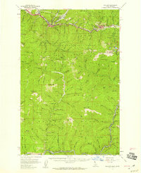
 1956 Wallace1966 Print · USGSWestern Montana and the Idaho panhandle meet in this mid-century survey of the Bitterroot and Cabinet Mountains. Genealogists and historians can trace the rail-and-river economy through the Northern Pacific line and settlements like Thompson Falls or St. Ignatius.3 unique versions available
 - 1957 Map of Wallace, 1959 Print
 1957 Wallace1959 Print · USGSShoshone County mining towns and the rugged St. Joe watershed are frozen in time during the late fifties. Genealogists and industrial historians can trace the foundations of the Silver Valley via the Miners Union Cemetery, Morning Mine, and the Milwaukee Road.3 unique versions available
 - 1960 Map of Wallace
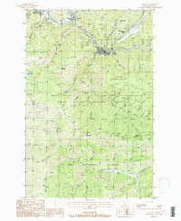
 1960 Wallace1960 Print · USGSNorthwestern Montana and the Idaho panhandle are captured in the late fifties, showing the vast Flathead Indian Reservation and the mining districts of the Bitterroot Range. Researchers can trace the rail lines of the Northern Pacific or locate early sites like the Morning Mine and the National Bison Range.
 - 1988 Map of Wallace
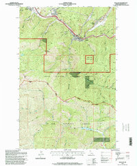
 1988 Wallace1988 Print · USGSShoshone County mining life is captured here in the late twentieth century, centered on the river-valley communities of Wallace and Silverton. Researchers can trace the legacy of the Silver Valley through local sites like the Galena Mine, Cem, and the Old RR Grade.
 - 1994 Map of Wallace
 1994 Wallace1994 Print · USGSThe Bitterroot Mountains and the mining heart of the Silver Valley are captured here in the mid-1990s. Researchers can locate active and historic mineral operations such as the Argentine Mine and Last Chance Mines, while tracing the Milwaukee Road through the high passes.
 - 1995 Map of Wallace, 1998 Print
 1995 Wallace1998 Print · USGSThe Silver Valley corridor in the mid-nineties shows the enduring industrial footprint of Idaho mining and the mountain communities of the Panhandle. Researchers can trace historic extraction sites like the Galena Mine, follow the Ninemile Old RR Grade, and locate local landmarks such as the Cem and Hospital.
 - 2011 Map of Wallace, 2011 Print
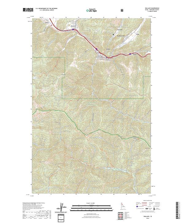
 2011 Wallace2011 Print · USGSCovers Woodland Park, including Osburn, Wallace, and other nearby areas
 - 2013 Map of Wallace, 2013 Print
 2013 Wallace2013 Print · USGSCovers Woodland Park, including Osburn, Wallace, and other nearby areas
 - 2017 Map of Wallace, 2017 Print
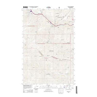
 2017 Wallace2017 Print · USGSCovers Woodland Park, including Osburn, Wallace, and other nearby areas
 - 2020 Map of Wallace, 2020 Print
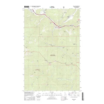
 2020 Wallace2020 Print · USGSCovers Woodland Park, including Osburn, Wallace, and other nearby areas
 - 2024 Map of Wallace, 2024 Print
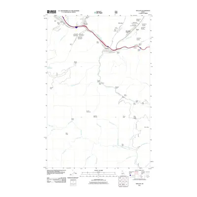
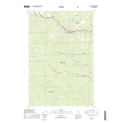
 2024 Wallace2024 Print · USGSThe Silver Valley is documented here in recent detail, showing the industrial canyon towns and rugged high country. Genealogists can locate the Ninemile Cem and County Courthouse in Wallace, or trace family roots in Silverton and Woodland Park.
End of results
Showing maps 1-16 of 16
Top cities near Woodland Park
- Kellogg historical maps
- Osburn historical maps
- Wallace historical maps
- Mullan historical maps
- Wardner historical maps
Frequently asked questions
- What are the different types of historical maps available for Woodland Park?
- What is the oldest map of Woodland Park?
- Where can I purchase historical maps of Woodland Park for my home or office?
- Where can I download high-res historical maps of Woodland Park?
- Are there historical topographic maps available for Woodland Park?
- Is there historical aerial imagery available for Woodland Park?
- Where are historical maps of Woodland Park sourced from?