Old Maps of Chicago Heights, Bloom Township for Genealogy
Trace your family roots with 35 historic maps of Chicago Heights. These high-res maps reveal old neighborhoods, homesites, landmarks, and streets — helping you uncover where your ancestors lived and how the area evolved over time.
- Explore historic neighborhoods: Identify where your relatives may have lived in the 1800s or 1900s.
- Compare maps over time: Trace the changes in streets, buildings, and landmarks for multi-generational research.
- Perfect for genealogy & ancestry research: Used by family historians and researchers to map out lineage and migration.
These maps are an incredible resource for exploring your personal connection to Chicago Heights's past.
Chicago Heights, Bloom Township maps
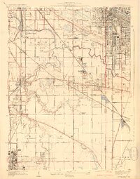
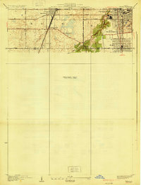
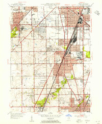
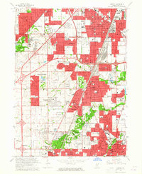
(35)- 1892 Map of Calumet
 1892 Calumet1892 Print · USGSCovers Chicago Heights, including Chicago, Hammond, and other nearby areas
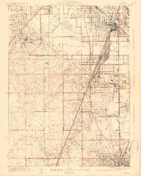
 - 1893 Map of Calumet
 1893 Calumet1893 Print · USGSCovers Chicago Heights, including Chicago, Hammond, and other nearby areas
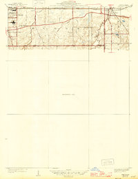
 - 1900 Map of Calumet
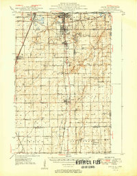
 1900 Calumet1900 Print · USGSCovers Chicago Heights, including Chicago, Hammond, and other nearby areas
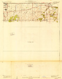
 - 1901 Map of Calumet
 1901 Calumet1901 Print · USGSCovers Chicago Heights, including Chicago, Hammond, and other nearby areas5 unique versions available
 - 1929 Map of Calumet City
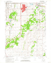
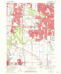
 1929 Calumet City1929 Print · USGSCovers Chicago Heights, including Hammond, Calumet City, and other nearby areas3 unique versions available
 - 1929 Map of Harvey
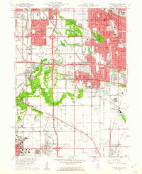
 1929 Harvey1929 Print · USGSCovers Chicago Heights, including Oak Forest, Park Forest, and other nearby areas4 unique versions available
 - 1929 Map of Dyer, 1946 Print
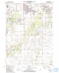
 1929 Dyer1946 Print · USGSCovers Chicago Heights, including Sauk Village, Steger, and other nearby areas
 - 1930 Map of Dyer
 1930 Dyer1930 Print · USGSCovers Chicago Heights, including Sauk Village, Steger, and other nearby areas
 - 1930 Map of Steger
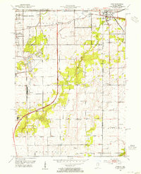
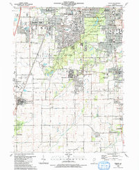
 1930 Steger1930 Print · USGSCovers Chicago Heights, including Park Forest, Matteson, and other nearby areas2 unique versions available
 - 1949 Map of Crete
 1949 Crete1949 Print · USGSCovers Chicago Heights, including Park Forest, Matteson, and other nearby areas
 - 1953 Map of Steger, 1955 Print
 1953 Steger1955 Print · USGSCovers Chicago Heights, including Park Forest, Matteson, and other nearby areas4 unique versions available
 - 1953 Map of Calumet City, 1955 Print
 1953 Calumet City1955 Print · USGSCovers Chicago Heights, including Hammond, Calumet City, and other nearby areas
 - 1953 Map of Harvey, 1955 Print
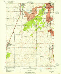
 1953 Harvey1955 Print · USGSCovers Chicago Heights, including Oak Forest, Park Forest, and other nearby areas
 - 1953 Map of Dyer, 1955 Print
 1953 Dyer1955 Print · USGSCovers Chicago Heights, including Sauk Village, Steger, and other nearby areas
 - 1953 Map of Chicago, 1964 Print
 1953 Chicago1964 Print · USGSCovers Chicago Heights, including Chicago, Joliet, and other nearby areas5 unique versions available
 - 1957 Map of Chicago
 1957 Chicago1957 Print · USGSCovers Chicago Heights, including Chicago, Joliet, and other nearby areas
 - 1960 Map of Calumet City, 1962 Print
 1960 Calumet City1962 Print · USGSCovers Chicago Heights, including Hammond, Calumet City, and other nearby areas
 - 1962 Map of Dyer, 1964 Print
 1962 Dyer1964 Print · USGSCovers Chicago Heights, including Sauk Village, Steger, and other nearby areas2 unique versions available
 - 1963 Map of Harvey, 1965 Print
 1963 Harvey1965 Print · USGSCovers Chicago Heights, including Oak Forest, Park Forest, and other nearby areas3 unique versions available
 - 1968 Map of Calumet City, 1970 Print
 1968 Calumet City1970 Print · USGSCovers Chicago Heights, including Hammond, Calumet City, and other nearby areas4 unique versions available
 - 1980 Map of Chicago
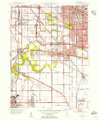
 1980 Chicago1980 Print · USGSCovers Chicago Heights, including Chicago, Joliet, and other nearby areas
 - 1984 Map of Kankakee, 1985 Print
 1984 Kankakee1985 Print · USGSCovers Chicago Heights, including Kankakee, Valparaiso, and other nearby areas
 - 1990 Map of Dyer, 1991 Print
 1990 Dyer1991 Print · USGSCovers Chicago Heights, including Sauk Village, Steger, and other nearby areas
 - 1990 Map of Steger, 1991 Print
 1990 Steger1991 Print · USGSCovers Chicago Heights, including Park Forest, Matteson, and other nearby areas
 - 1991 Map of Kankakee
 1991 Kankakee1991 Print · USGSCovers Chicago Heights, including Kankakee, Valparaiso, and other nearby areas
Showing maps 1-25 of 35
Top cities near Chicago Heights
- Chicago historical maps
- Hammond historical maps
- Gary historical maps
- Oak Lawn historical maps
- Orland Park historical maps
- Tinley Park historical maps
See more
Top neighborhoods of Chicago Heights
Frequently asked questions
- What are the different types of historical maps available for Chicago Heights?
- What is the oldest map of Chicago Heights?
- Where can I purchase historical maps of Chicago Heights for my home or office?
- Where can I download high-res historical maps of Chicago Heights?
- Are there historical topographic maps available for Chicago Heights?
- Is there historical aerial imagery available for Chicago Heights?
- Where are historical maps of Chicago Heights sourced from?