Old Maps of Toledo, Illinois
Explore 21 old maps of Toledo, spanning from 1933 to today. These high-resolution historic maps reveal how streets, neighborhoods, landmarks, and natural features evolved over time — perfect for genealogy, metal detecting, research, and local history exploration.
What you can do with these maps:
- See how Toledo changed over time: Compare historical maps to modern-day views to trace roads, homesites, rail lines & more.
- View detailed metadata: Each map includes creators, publishers, year, scale, and archive source.
- Overlay maps with satellite & LiDAR: Visualize the past alongside modern tools to explore terrain & human change.
- Trusted historical sources: Maps sourced from the USGS, Library of Congress, and other archives.
- Access maps your way: View online, download high-res files, or order prints for personal or research use.
Start exploring old maps of Toledo to uncover forgotten places, hidden landmarks, and the deep history beneath your feet.
Toledo, IL maps
(21)- 1933 Map of Toledo, 1958 Print
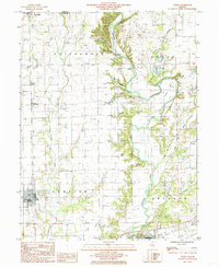
 1933 Toledo1958 Print · USGSEast-central Illinois during the early thirties is captured here as a landscape of river-valley crossings and small-town rail hubs. Genealogists can trace family roots through numerous rural landmarks like Unity Chapel, Bell Cem, and the historic Lincoln Log Cabin State Park.2 unique versions available
 - 1934 Map of Mattoon, 1967 Print
 1934 Mattoon1967 Print · USGSThe rail hubs and rural townships of East Central Illinois are captured here in the mid-1930s. Genealogists and local historians can trace the foundations of Mattoon and Neoga while locating family landmarks like Old Bethel Ch or the Little Brick Sch.2 unique versions available
 - 1937 Map of Mattoon
 1937 Mattoon1937 Print · USGSThe rail hubs of Mattoon and Neoga are shown in the late 1930s, surrounded by a dense network of country schools and family cemeteries. Trace ancestral roots at Aetna Etna PO, Johnstown, or the many rural schoolhouses like South Loxa Sch.3 unique versions available
 - 1938 Map of Toledo
 1938 Toledo1938 Print · USGSCentral Illinois at the height of the New Deal era reveals a landscape of family farms and river-bottom timber. Genealogists can trace family landmarks like Tippett Cem, Unity Chapel, and numerous schools including Little Brick Sch.
 - 1958 Map of Decatur, 1971 Print
 1958 Decatur1971 Print · USGSCentral Illinois in the mid-twentieth century shows a landscape defined by industrial rail hubs and the creation of large reservoirs. Researchers can trace historic corridors like the Penn Central or locate landmarks such as Lincoln Log Cabin State Park and Lake Springfield.3 unique versions available
 - 1961 Map of Decatur
 1961 Decatur1961 Print · USGSCentral Illinois in the late fifties was a bustling corridor of rail lines and prairie commerce centered on the state capital. Genealogists and historians can trace the intricate connections between Springfield, Decatur, and dozens of smaller settlements like Nokomis and Arcola.2 unique versions available
 - 1984 Map of Toledo, 1985 Print
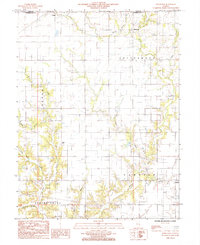
 1984 Toledo1985 Print · USGSCumberland County in the early eighties centers on the Embarras River valley as it winds between Toledo and Greenup. Researchers can trace the legacy of regional transport through an Abandoned RR and family-named terrain like Graveyard Hill and Tippett Hollow.
 - 1984 Map of Johnstown, 1985 Print
 1984 Johnstown1985 Print · USGSCumberland County settlements and prairie creeks are captured here in the mid-1980s. Genealogists and local historians can trace family locations near Johnstown, Trilla, and Neal, or follow the banks of Muddy Creek and Bear Creek.
 - 1986 Map of Effingham
 1986 Effingham1986 Print · USGSCentral Illinois during the mid-eighties was a hub of rail travel and water recreation centered on the new reservoirs. Genealogists and historians can trace the rural landscape between Mattoon and Effingham, locating landmarks like St Paul Ch and Eagle Creek State Park.2 unique versions available
 - 1998 Map of Toledo, 2002 Print
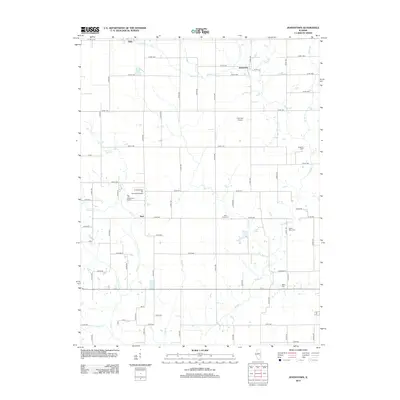
 1998 Toledo2002 Print · USGSCumberland County at the close of the century shows a landscape where the Embarras River winds between established towns and quiet rural townships. Genealogists and historians can trace the Old Railroad Grade or locate family sites near Graveyard Hill and Janesville.
 - 1998 Map of Johnstown, 2003 Print
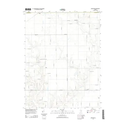
 1998 Johnstown2003 Print · USGSThe borderlands of Cumberland and Coles counties are captured in the late 1990s, revealing a landscape of rural townships and winding creeks. Genealogists and local historians can trace family-named landmarks and small settlements like Trilla, Johnstown, and Neal.
 - 2012 Map of Johnstown, 2012 Print
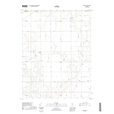
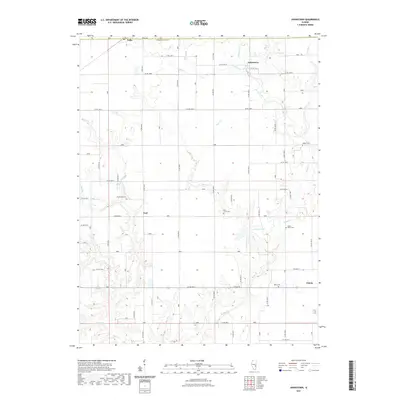
 2012 Johnstown2012 Print · USGSCovers Toledo, including Johnstown, Coles County, and other nearby areas
 - 2012 Map of Toledo, 2012 Print
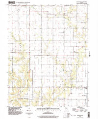
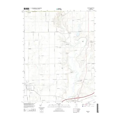
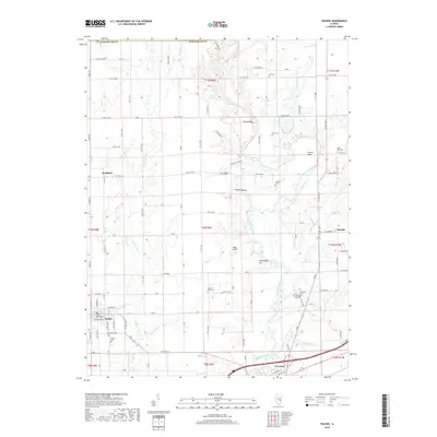
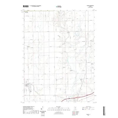
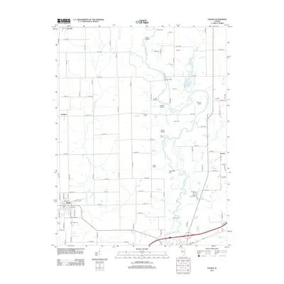 2012 Toledo2012 Print · USGSCovers Toledo, including Greenup, Timothy, and other nearby areas
 - 2015 Map of Johnstown, 2015 Print
 2015 Johnstown2015 Print · USGSCovers Toledo, including Johnstown, Coles County, and other nearby areas
 - 2015 Map of Toledo, 2015 Print
 2015 Toledo2015 Print · USGSCovers Toledo, including Greenup, Timothy, and other nearby areas
 - 2018 Map of Toledo, 2018 Print
 2018 Toledo2018 Print · USGSCovers Toledo, including Greenup, Timothy, and other nearby areas
 - 2018 Map of Johnstown, 2018 Print
 2018 Johnstown2018 Print · USGSCovers Toledo, including Johnstown, Coles County, and other nearby areas
 - 2021 Map of Toledo, 2021 Print
 2021 Toledo2021 Print · USGSCovers Toledo, including Greenup, Timothy, and other nearby areas
 - 2021 Map of Johnstown, 2021 Print
 2021 Johnstown2021 Print · USGSCovers Toledo, including Johnstown, Coles County, and other nearby areas
 - 2024 Map of Toledo, 2024 Print
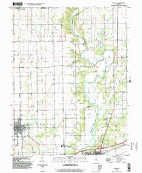
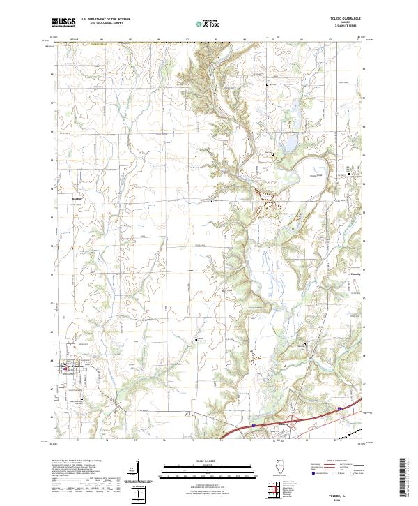 2024 Toledo2024 Print · USGSCumberland County in the early twenty-first century maintains a landscape defined by the winding Embarras River and its rural burial grounds. Genealogists and local historians can trace family roots through numerous sites like Friends Grove Cem, Hutton Cem, and the historic Cumberland County Courthouse in Toledo.
 - 2024 Map of Johnstown, 2024 Print
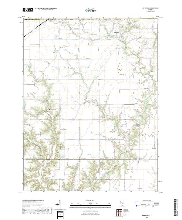 2024 Johnstown2024 Print · USGSCumberland County’s rural landscape is mapped in detail here, showing the quiet transition from the village of Trilla to the winding banks of Muddy Creek. Local historians can trace family roots through several burial grounds, including Drummond Cem and Berry Cem.
End of results
Showing maps 1-21 of 21
Top cities near Toledo
- Charleston historical maps
- Mattoon historical maps
- Neoga historical maps
- Teutopolis historical maps
- Greenup historical maps
- Paradise historical maps
See more
Frequently asked questions
- What are the different types of historical maps available for Toledo?
- What is the oldest map of Toledo?
- Where can I purchase historical maps of Toledo for my home or office?
- Where can I download high-res historical maps of Toledo?
- Are there historical topographic maps available for Toledo?
- Is there historical aerial imagery available for Toledo?
- Where are historical maps of Toledo sourced from?