Old Maps of Farmer City, Illinois for Academic Research
Study the evolution of Farmer City with 32 high-resolution historic maps. Whether you're teaching, researching, or modeling changes in land use, these maps provide essential visual documentation of urban, environmental, and geographic change.
- Analyze long-term change: Track patterns in development, transportation, and natural features.
- Ideal for environmental or urban studies: Support academic projects with primary historical map data.
- Use in the classroom or lab: Educators and researchers rely on these maps to bring historical context to life.
These maps are a powerful tool for teaching, research, and visualizing how Farmer City has changed over the decades.
Farmer City, IL maps
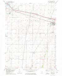
(32)- 1937 Map of Monticello
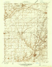 1937 Monticello1937 Print · USGSIn the mid-1930s, this portion of Piatt and DeWitt counties was a bustling corridor of rail lines and rural school districts. Genealogists can locate family landmarks like Campground Cem or trace the vanished district schools like Watson Sch and Harmony Sch.2 unique versions available
 - 1943 Map of Monticello
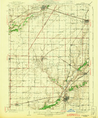 1943 Monticello1943 Print · USGSCentral Illinois at the height of the Second World War reveals a landscape of thriving rail towns and rural school districts. You can trace the path of the Wabash railroad through White Heath or locate family roots at Kentucky Ch and Greenleaf Cem.2 unique versions available
 - 1952 Map of Arrowsmith
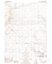
 1952 Arrowsmith1952 Print · USGSAgriculture and the steam-and-diesel rail era meet in this Illinois heartland during the early fifties. Genealogists and historians can trace the foundations of Farmer City and Saybrook while locating rural sites like Prairie Chapel and Payne Cem.2 unique versions available
 - 1958 Map of Peoria, 1969 Print
 1958 Peoria1969 Print · USGSCentral Illinois thrived as a hub of education and transport during the late sixties, as the new interstate system began to reshape the prairie. Genealogists and historians can trace local landmarks like Springdale Cem, Bradley University, and the sprawling grounds of Chanute AFB.4 unique versions available
 - 1961 Map of Peoria
 1961 Peoria1961 Print · USGSCentral Illinois thrived at the intersection of river trade and rail power during the late fifties. Genealogists and local historians can trace the rail networks of the Illinois Central and Wabash, alongside landmarks like Chanute AFB and Weldon Springs State Park.
 - 1963 Map of Peoria
 1963 Peoria1963 Print · USGSCentral Illinois thrived as a rail and highway crossroads during the early sixties, centered on the bustling Illinois River valley. Genealogists and historians can trace the mid-century layout of Peoria, locate the grounds of Chanute Air Force Base, and follow historic lines like the Toledo Peoria and Western Railway.
 - 1979 Map of Farmer City South, 1980 Print
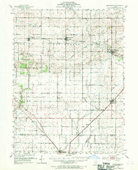
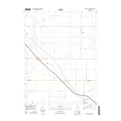
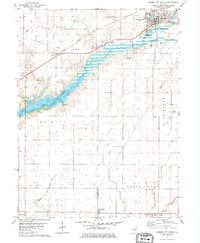 1979 Farmer City South1980 Print · USGSThe rural landscapes of De Witt and Piatt counties are captured here in the late seventies as the new reservoir at Lake Clinton takes shape. Researchers can trace ancestral sites at Fullerton Church, St. Joseph Cemetery, and McCord Cemetery.
 - 1979 Map of Mansfield, 1980 Print
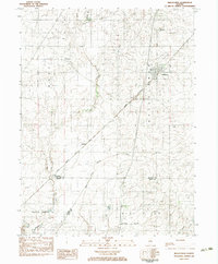
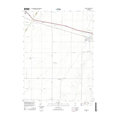
 1979 Mansfield1980 Print · USGSMansfield and the surrounding Illinois prairie are shown during the late 1970s as a junction for the CONRAIL and NORFOLK AND WESTERN railroads. Researchers can locate family landmarks like Mackey Cem, Bethel Ch, and numerous private runways including the Weidner Landing Field.
 - 1983 Map of Farmer City North
 1983 Farmer City North1983 Print · USGSAgricultural life in McLean and DeWitt Counties during the early eighties is defined by the rail lines and creeks that knit these prairie towns together. Genealogists and local historians can trace the foundations of Sabina, locate Prairie Chapel, and find family plots at Oak Grove Cem.
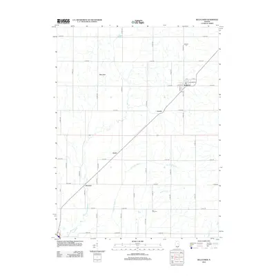
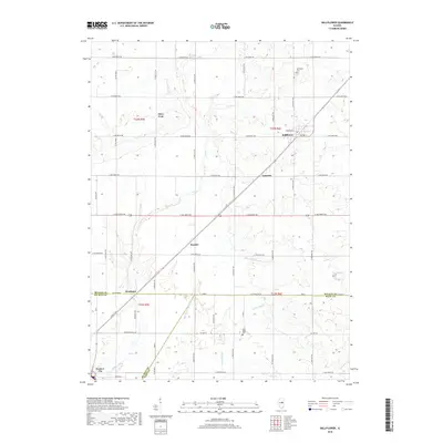
 - 1983 Map of Bellflower
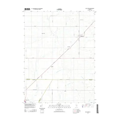
 1983 Bellflower1983 Print · USGSAgricultural life in McLean and De Witt Counties centered on the Illinois Central Gulf rail line during the early 1980s. Trace old township roots and transit points from Bellflower to Weedman, alongside the Bellflower Cem and Blue Ridge.
 - 1985 Map of Champaign, 1986 Print
 1985 Champaign1986 Print · USGSThe Illinois prairie comes alive in this mid-eighties survey of the vital rail corridor between Bloomington and Champaign. Genealogists and historians can trace the development of township hubs like Saybrook and Bellflower or locate Chanute Air Force Base and the Sangamon River.2 unique versions available
 - 1990 Map of Peoria
 1990 Peoria1990 Print · USGSCentral Illinois at the start of the nineties reveals a landscape of industrial river towns and sprawling university campuses. Researchers can trace the legacy of major institutions like Chanute Air Force Base and the University of Illinois alongside regional landmarks such as Sand Ridge State Forest.
 - 2012 Map of Mansfield, 2012 Print
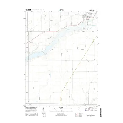
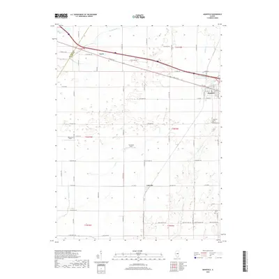
 2012 Mansfield2012 Print · USGSCovers Farmer City, including Mansfield, Harris, and other nearby areas
 - 2012 Map of Farmer City North, 2012 Print
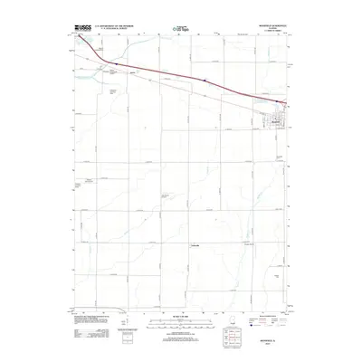
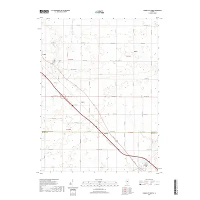
 2012 Farmer City North2012 Print · USGSCovers Farmer City, including Empire, Le Roy, and other nearby areas
 - 2012 Map of Farmer City South, 2012 Print
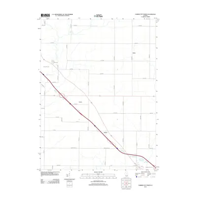
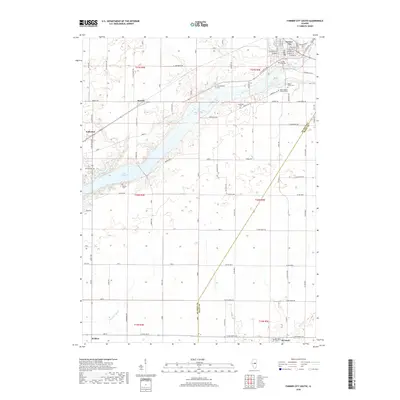
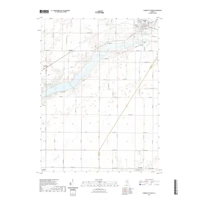
 2012 Farmer City South2012 Print · USGSCovers Farmer City, including De Land, Weldon, and other nearby areas
 - 2012 Map of Bellflower, 2012 Print
 2012 Bellflower2012 Print · USGSCovers Farmer City, including Bellflower, Glen Avon, and other nearby areas
 - 2015 Map of Farmer City South, 2015 Print
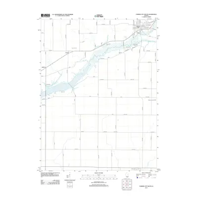
 2015 Farmer City South2015 Print · USGSCovers Farmer City, including De Land, Weldon, and other nearby areas
 - 2015 Map of Mansfield, 2015 Print
 2015 Mansfield2015 Print · USGSCovers Farmer City, including Mansfield, Harris, and other nearby areas
 - 2015 Map of Bellflower, 2015 Print
 2015 Bellflower2015 Print · USGSCovers Farmer City, including Bellflower, Glen Avon, and other nearby areas
 - 2015 Map of Farmer City North, 2015 Print
 2015 Farmer City North2015 Print · USGSCovers Farmer City, including Empire, Le Roy, and other nearby areas
 - 2018 Map of Mansfield, 2018 Print
 2018 Mansfield2018 Print · USGSCovers Farmer City, including Mansfield, Harris, and other nearby areas
 - 2018 Map of Bellflower, 2018 Print
 2018 Bellflower2018 Print · USGSCovers Farmer City, including Bellflower, Glen Avon, and other nearby areas
 - 2018 Map of Farmer City North, 2018 Print
 2018 Farmer City North2018 Print · USGSCovers Farmer City, including Empire, Le Roy, and other nearby areas
 - 2018 Map of Farmer City South, 2018 Print
 2018 Farmer City South2018 Print · USGSCovers Farmer City, including De Land, Weldon, and other nearby areas
 - 2021 Map of Farmer City South, 2021 Print
 2021 Farmer City South2021 Print · USGSCovers Farmer City, including De Land, Weldon, and other nearby areas
Showing maps 1-25 of 32
Top cities near Farmer City
- Bloomington historical maps
- Mahomet historical maps
- Monticello historical maps
- Empire historical maps
- Le Roy historical maps
- Mansfield historical maps
See more
Frequently asked questions
- What are the different types of historical maps available for Farmer City?
- What is the oldest map of Farmer City?
- Where can I purchase historical maps of Farmer City for my home or office?
- Where can I download high-res historical maps of Farmer City?
- Are there historical topographic maps available for Farmer City?
- Is there historical aerial imagery available for Farmer City?
- Where are historical maps of Farmer City sourced from?