Old Maps of Bone Gap, Illinois for Genealogy
Trace your family roots with 24 historic maps of Bone Gap. These high-res maps reveal old neighborhoods, homesites, landmarks, and streets — helping you uncover where your ancestors lived and how the area evolved over time.
- Explore historic neighborhoods: Identify where your relatives may have lived in the 1800s or 1900s.
- Compare maps over time: Trace the changes in streets, buildings, and landmarks for multi-generational research.
- Perfect for genealogy & ancestry research: Used by family historians and researchers to map out lineage and migration.
These maps are an incredible resource for exploring your personal connection to Bone Gap's past.
Bone Gap, IL maps
(24)- 1903 Map of Patoka
 1903 Patoka1903 Print · USGSThe lower Wabash Valley at the start of the twentieth century was a vital crossroads of river trade and rail expansion. Genealogists can trace family roots through settlements like New Harmony and Parker's Settlement or locate the County Farm and Grand Rapids.2 unique versions available
 - 1904 Map of Mount Carmel
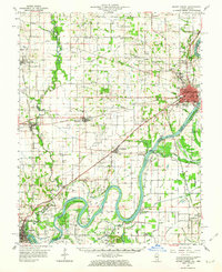
 1904 Mount Carmel1904 Print · USGSMount Carmel and the Wabash River valley are captured here at the height of the steam era. Genealogists and historians can trace defunct rail stops and riverside settlements like Schrodts Sta., Jimtown, and Rochester.3 unique versions available
 - 1943 Map of Albion, 1969 Print
 1943 Albion1969 Print · USGSEdwards County and its neighbors are captured here in the 1940s, showing a landscape defined by the winding Little Wabash River and the Southern rail line. Genealogists can locate numerous rural landmarks like Wanbor Cem, Samsville, and the Curtisville Sch.
 - 1946 Map of Albion
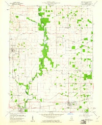
 1946 Albion1946 Print · USGSEdwards and Wayne Counties are shown in the mid-1940s as a thriving network of rural school districts and small rail towns. Genealogists can trace family homesteads near Albion and Bone Gap or locate vanished landmarks like Blacks Store and Beech Bluff Sch.
 - 1956 Map of Vincennes, 1967 Print
 1956 Vincennes1967 Print · USGSSouthern Indiana and the Illinois borderlands are captured here in the mid-fifties, showing the region's dense network of river towns and rail lines. Researchers can trace historic river crossings along the Wabash River or locate landmarks like Wyandotte Cave and Lincoln State Park.4 unique versions available
 - 1957 Map of Vincennes
 1957 Vincennes1957 Print · USGSSouthwest Indiana and the Illinois borderlands come alive in the late 1950s, a period of heavy rail traffic and expanding state forests. Genealogists and historians can trace the riverfronts and rail lines of Vincennes, New Harmony, and the vast Crane Naval Ammunition Depot.
 - 1958 Map of Vincennes
 1958 Vincennes1958 Print · USGSSouthern Indiana and the Illinois borderlands are captured during a mid-century period of heavy rail traffic and military activity. Researchers can trace the sprawling bounds of the Crane Naval Ammunition Depot or locate historic settlements like New Harmony and French Lick.2 unique versions available
 - 1958 Map of Belleville, 1973 Print
 1958 Belleville1973 Print · USGSSouthern Illinois during the mid-twentieth century reveals a landscape of industrial growth and massive new reservoirs. Genealogists and historians can trace the paths of the Illinois Central RR through towns like Centralia or locate landmarks such as Emerald Mound and the Looking Glass Prairie.3 unique versions available
 - 1959 Map of Bone Gap, 1961 Print
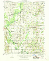
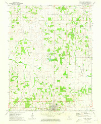
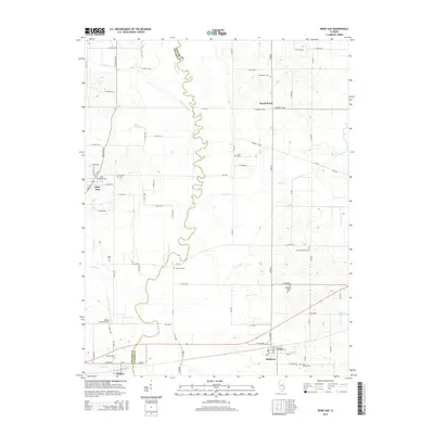
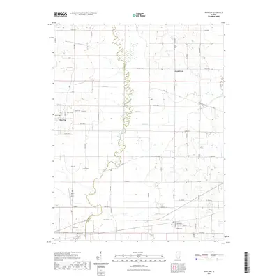
 1959 Bone Gap1961 Print · USGSThe Edwards and Wabash county line is defined by the winding course of Bonpas Creek during the late fifties. Genealogists and local historians can trace the Indian Treaty Boundary and locate numerous rural landmarks like St Sebastians Ch and Tanquary Cem.2 unique versions available
 - 1959 Map of Mount Carmel, 1963 Print
 1959 Mount Carmel1963 Print · USGSMount Carmel and the Wabash River valley are shown here in the late fifties, during a period of active drainage and industrial growth. Genealogists can trace family landmarks like Keens Cem and Nisbet Chapel or explore the Old Indian Treaty Boundary and the paths of the Illinois Central railroad.2 unique versions available
 - 1962 Map of Belleville
 1962 Belleville1962 Print · USGSSouthern Illinois in the late fifties reveals a landscape of industrial growth and ancient landmarks before the full expansion of the interstate system. Genealogists can trace family names and rural post offices near Centralia, Salem, and the historic Monks Mound.
 - 1971 Map of Albion North, 1973 Print
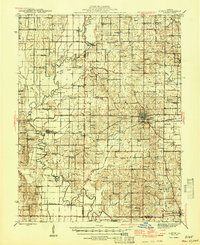
 1971 Albion North1973 Print · USGSSouthern Illinois in the early seventies shows a landscape where agriculture meets the energy industry near Albion. Genealogists and local historians can trace rural roots through Medler Cem, Ebenezer Ch, and the extensive Bone Gap Oil Field.
 - 1982 Map of Mount Vernon
 1982 Mount Vernon1982 Print · USGSSouthern Illinois and Southwestern Indiana meet here during a period of significant regional water management and transit growth. Researchers can trace the development of Rend Lake and locate vanished rail stops along the Southern RR near Bluford and Golden Gate.
 - 1986 Map of Princeton
 1986 Princeton1986 Print · USGSSouthwestern Indiana is defined by the confluence of the Wabash and White Rivers during the mid-eighties, a period of established rail lines and expanding interstates. Genealogists and historians can trace property locations across numerous townships or locate family sites in Mount Carmel, Poseyville, and Boonville.2 unique versions available
 - 2012 Map of Bone Gap, 2012 Print
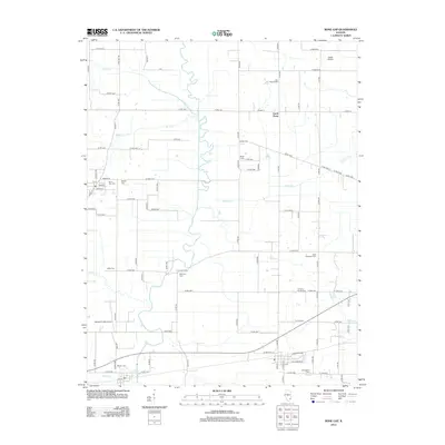 2012 Bone Gap2012 Print · USGSCovers Bone Gap, including Bellmont, Browns, and other nearby areas
 - 2012 Map of Albion North, 2012 Print
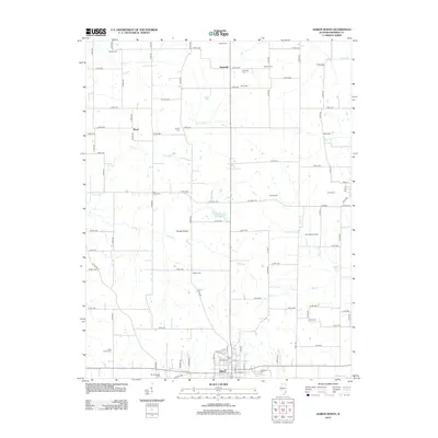 2012 Albion North2012 Print · USGSCovers Bone Gap, including Albion, Samsville, and other nearby areas
 - 2015 Map of Albion North, 2015 Print
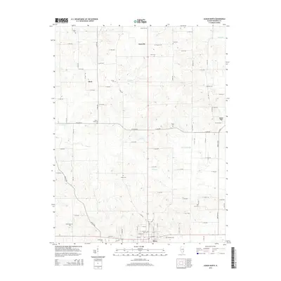 2015 Albion North2015 Print · USGSCovers Bone Gap, including Albion, Samsville, and other nearby areas
 - 2015 Map of Bone Gap, 2015 Print
 2015 Bone Gap2015 Print · USGSCovers Bone Gap, including Bellmont, Browns, and other nearby areas
 - 2018 Map of Bone Gap, 2018 Print
 2018 Bone Gap2018 Print · USGSCovers Bone Gap, including Bellmont, Browns, and other nearby areas
 - 2018 Map of Albion North, 2018 Print
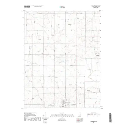
 2018 Albion North2018 Print · USGSCovers Bone Gap, including Albion, Samsville, and other nearby areas
 - 2021 Map of Albion North, 2021 Print
 2021 Albion North2021 Print · USGSCovers Bone Gap, including Albion, Samsville, and other nearby areas
 - 2021 Map of Bone Gap, 2021 Print
 2021 Bone Gap2021 Print · USGSCovers Bone Gap, including Bellmont, Browns, and other nearby areas
 - 2024 Map of Albion North, 2024 Print
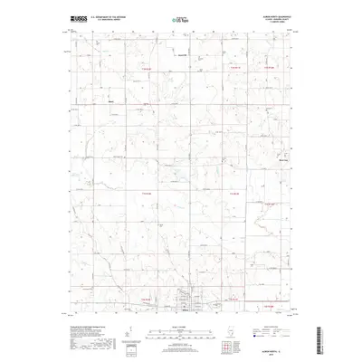
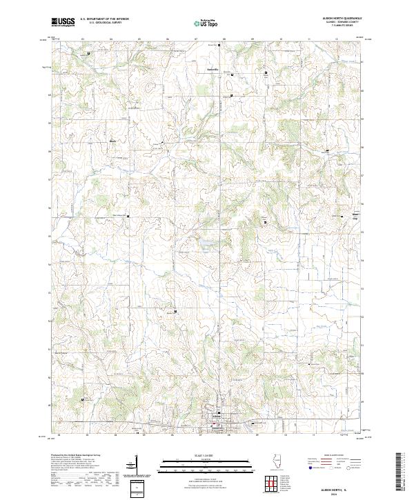 2024 Albion North2024 Print · USGSNorth-central Edwards County appears in fine detail during the mid-2020s, centered on the county seat and its outlying hamlets. Researchers can map out dozens of local burial sites like Wanborough Cem and Shiloh Cem or trace the drainage of Village Creek.
 - 2024 Map of Bone Gap, 2024 Print
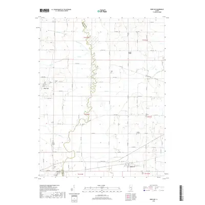
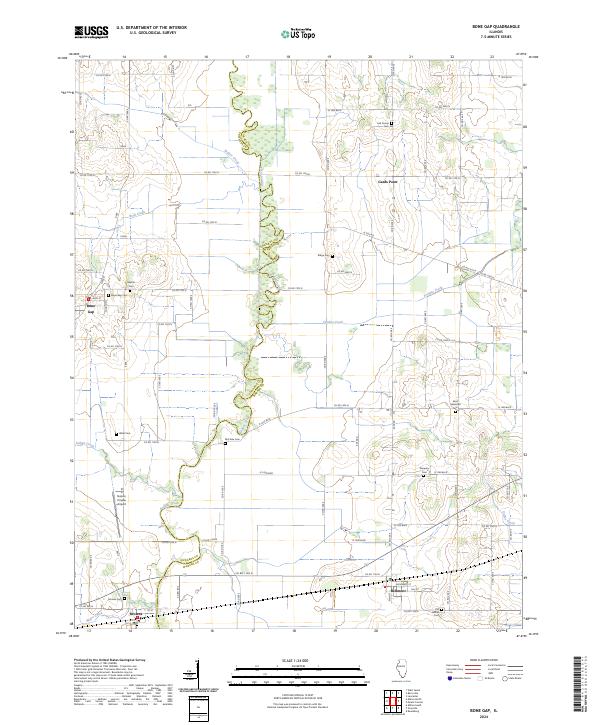 2024 Bone Gap2024 Print · USGSThe Illinois border between Edwards and Wabash counties is defined by Bonpas Creek in this contemporary look at a deeply rooted agricultural area. Genealogists can locate several family and community burial sites like Tanquary Cem, McClane Cem, and Baptist Cem.
End of results
Showing maps 1-24 of 24
Top cities near Bone Gap
- Mount Carmel historical maps
- Albion historical maps
- Grayville historical maps
- West Salem historical maps
- Bellmont historical maps
- Keensburg historical maps
See more
Frequently asked questions
- What are the different types of historical maps available for Bone Gap?
- What is the oldest map of Bone Gap?
- Where can I purchase historical maps of Bone Gap for my home or office?
- Where can I download high-res historical maps of Bone Gap?
- Are there historical topographic maps available for Bone Gap?
- Is there historical aerial imagery available for Bone Gap?
- Where are historical maps of Bone Gap sourced from?