Old Maps of Browns, Illinois for Academic Research
Study the evolution of Browns with 20 high-resolution historic maps. Whether you're teaching, researching, or modeling changes in land use, these maps provide essential visual documentation of urban, environmental, and geographic change.
- Analyze long-term change: Track patterns in development, transportation, and natural features.
- Ideal for environmental or urban studies: Support academic projects with primary historical map data.
- Use in the classroom or lab: Educators and researchers rely on these maps to bring historical context to life.
These maps are a powerful tool for teaching, research, and visualizing how Browns has changed over the decades.
Browns, IL maps
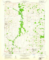
(20)- 1903 Map of Patoka
 1903 Patoka1903 Print · USGSThe lower Wabash Valley at the start of the twentieth century was a vital crossroads of river trade and rail expansion. Genealogists can trace family roots through settlements like New Harmony and Parker's Settlement or locate the County Farm and Grand Rapids.2 unique versions available
 - 1904 Map of Mount Carmel
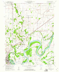
 1904 Mount Carmel1904 Print · USGSMount Carmel and the Wabash River valley are captured here at the height of the steam era. Genealogists and historians can trace defunct rail stops and riverside settlements like Schrodts Sta., Jimtown, and Rochester.3 unique versions available
 - 1956 Map of Vincennes, 1967 Print
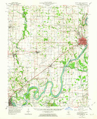
 1956 Vincennes1967 Print · USGSSouthern Indiana and the Illinois borderlands are captured here in the mid-fifties, showing the region's dense network of river towns and rail lines. Researchers can trace historic river crossings along the Wabash River or locate landmarks like Wyandotte Cave and Lincoln State Park.4 unique versions available
 - 1957 Map of Vincennes
 1957 Vincennes1957 Print · USGSSouthwest Indiana and the Illinois borderlands come alive in the late 1950s, a period of heavy rail traffic and expanding state forests. Genealogists and historians can trace the riverfronts and rail lines of Vincennes, New Harmony, and the vast Crane Naval Ammunition Depot.
 - 1958 Map of Vincennes
 1958 Vincennes1958 Print · USGSSouthern Indiana and the Illinois borderlands are captured during a mid-century period of heavy rail traffic and military activity. Researchers can trace the sprawling bounds of the Crane Naval Ammunition Depot or locate historic settlements like New Harmony and French Lick.2 unique versions available
 - 1959 Map of Bone Gap, 1961 Print
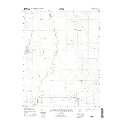
 1959 Bone Gap1961 Print · USGSThe Edwards and Wabash county line is defined by the winding course of Bonpas Creek during the late fifties. Genealogists and local historians can trace the Indian Treaty Boundary and locate numerous rural landmarks like St Sebastians Ch and Tanquary Cem.2 unique versions available
 - 1959 Map of Grayville, 1961 Print
 1959 Grayville1961 Print · USGSThe Wabash River borderlands of Illinois and Indiana come alive in this mid-century survey of the river's winding bends. Genealogists can trace family names and sites like Fortney Cem, Friedens Ch, and the town of Grayville.3 unique versions available
 - 1959 Map of Mount Carmel, 1963 Print
 1959 Mount Carmel1963 Print · USGSMount Carmel and the Wabash River valley are shown here in the late fifties, during a period of active drainage and industrial growth. Genealogists can trace family landmarks like Keens Cem and Nisbet Chapel or explore the Old Indian Treaty Boundary and the paths of the Illinois Central railroad.2 unique versions available
 - 1986 Map of Princeton
 1986 Princeton1986 Print · USGSSouthwestern Indiana is defined by the confluence of the Wabash and White Rivers during the mid-eighties, a period of established rail lines and expanding interstates. Genealogists and historians can trace property locations across numerous townships or locate family sites in Mount Carmel, Poseyville, and Boonville.2 unique versions available
 - 2010 Map of Grayville, 2010 Print
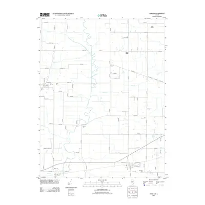
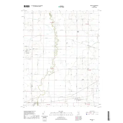
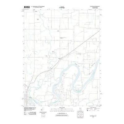 2010 Grayville2010 Print · USGSCovers Browns, including Grayville, Cowling, and other nearby areas
 - 2012 Map of Bone Gap, 2012 Print
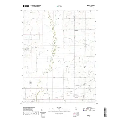
 2012 Bone Gap2012 Print · USGSCovers Browns, including Bellmont, Bone Gap, and other nearby areas
 - 2012 Map of Grayville, 2012 Print
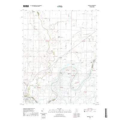
 2012 Grayville2012 Print · USGSCovers Browns, including Grayville, Cowling, and other nearby areas
 - 2015 Map of Grayville, 2015 Print
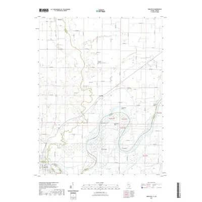
 2015 Grayville2015 Print · USGSCovers Browns, including Grayville, Cowling, and other nearby areas
 - 2015 Map of Bone Gap, 2015 Print
 2015 Bone Gap2015 Print · USGSCovers Browns, including Bellmont, Bone Gap, and other nearby areas
 - 2018 Map of Bone Gap, 2018 Print
 2018 Bone Gap2018 Print · USGSCovers Browns, including Bellmont, Bone Gap, and other nearby areas
 - 2018 Map of Grayville, 2018 Print
 2018 Grayville2018 Print · USGSCovers Browns, including Grayville, Cowling, and other nearby areas
 - 2021 Map of Bone Gap, 2021 Print
 2021 Bone Gap2021 Print · USGSCovers Browns, including Bellmont, Bone Gap, and other nearby areas
 - 2021 Map of Grayville, 2021 Print
 2021 Grayville2021 Print · USGSCovers Browns, including Grayville, Cowling, and other nearby areas
 - 2024 Map of Grayville, 2024 Print
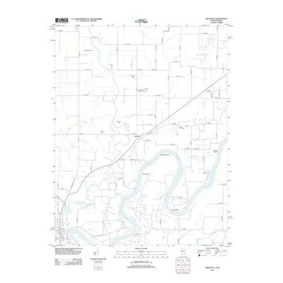
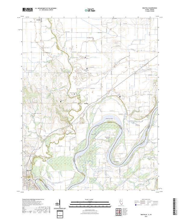 2024 Grayville2024 Print · USGSThe Illinois-Indiana borderlands come alive in this detailed look at the Wabash River valley near the turn of the decade. Genealogists and local historians can trace rural roots through the locations of Saint Johns Lutheran Church Cem, Wheeler Cem, and the river hamlets of Cowling and Grayville.
 - 2024 Map of Bone Gap, 2024 Print
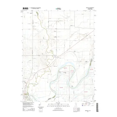
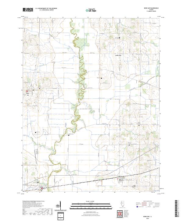 2024 Bone Gap2024 Print · USGSThe Illinois border between Edwards and Wabash counties is defined by Bonpas Creek in this contemporary look at a deeply rooted agricultural area. Genealogists can locate several family and community burial sites like Tanquary Cem, McClane Cem, and Baptist Cem.
End of results
Showing maps 1-20 of 20
Top cities near Browns
- Mount Carmel historical maps
- Albion historical maps
- Grayville historical maps
- Poseyville historical maps
- West Salem historical maps
- Crossville historical maps
See more
Frequently asked questions
- What are the different types of historical maps available for Browns?
- What is the oldest map of Browns?
- Where can I purchase historical maps of Browns for my home or office?
- Where can I download high-res historical maps of Browns?
- Are there historical topographic maps available for Browns?
- Is there historical aerial imagery available for Browns?
- Where are historical maps of Browns sourced from?