2020s Maps of Ashkum, Illinois
Explore 4 historic maps of Ashkum from the 2020s. These maps offer a rare glimpse into what life looked like during the 2020s — showing old roads, neighborhoods, homes, and landmarks that have changed or disappeared over time.
Whether you're researching your family's past, planning a metal detecting trip, or studying how Ashkum's landscape evolved across the 2020s, these high-resolution maps are a powerful tool for exploring the history of this region.
- Focus on a specific era: All maps on this page are from the 2020s, giving you a focused view of this time period.
- See what’s changed: Compare century-old streets, trails, and buildings to today's modern landscape using overlays and satellite layers.
- Research with precision: Use these maps for genealogy, historical research, land use analysis, or educational projects.
- View, download, or print: Maps are fully viewable online in high resolution, and can be downloaded or printed for your own records.
Start exploring Ashkum's history through authentic maps from the 2020s. This is your window into the past.
Ashkum, IL maps
(4)- 2021 Map of Clifton, 2021 Print
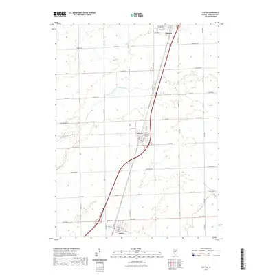 2021 Clifton2021 Print · USGSCovers Ashkum, including Clifton, Chebanse, and other nearby areas
 - 2021 Map of Gilman, 2021 Print
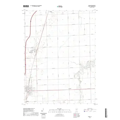 2021 Gilman2021 Print · USGSCovers Ashkum, including Gilman, Danforth, and other nearby areas
 - 2024 Map of Clifton, 2024 Print
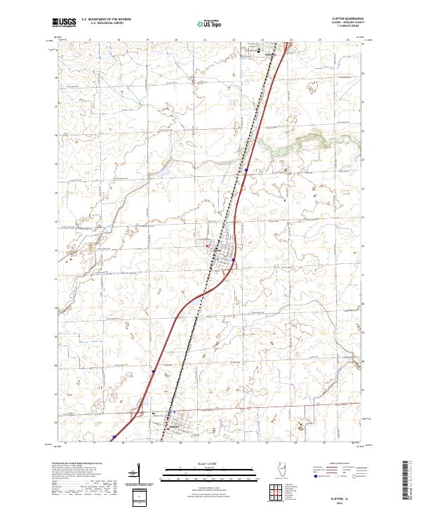 2024 Clifton2024 Print · USGSIroquois County at the modern day is characterized by its organized prairie townships and the primary corridor connecting Clifton, Ashkum, and Chebanse. Researchers can trace local lineage at the Ashkum Cem or explore the drainage patterns of Langan Creek and Trail Creek.
 - 2024 Map of Gilman, 2024 Print
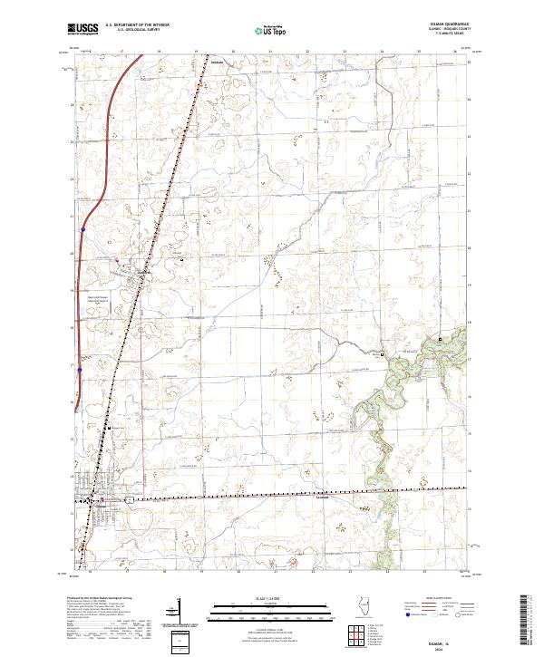 2024 Gilman2024 Print · USGSIroquois County's agricultural heartland is documented here in the early twenty-first century as it spans from Gilman north to Ashkum. Researchers can locate family burial grounds at Wenger Cem and Kirby Cem or trace the rural routes surrounding Leonard.
End of results
Showing maps 1-4 of 4
Top cities near Ashkum
- Kankakee historical maps
- Watseka historical maps
- Gilman historical maps
- Herscher historical maps
- Onarga historical maps
- Clifton historical maps
See more
Frequently asked questions
- What are the different types of historical maps available for Ashkum?
- What is the oldest map of Ashkum?
- Where can I purchase historical maps of Ashkum for my home or office?
- Where can I download high-res historical maps of Ashkum?
- Are there historical topographic maps available for Ashkum?
- Is there historical aerial imagery available for Ashkum?
- Where are historical maps of Ashkum sourced from?