Old Maps of Nason, Illinois for Hiking & Exploration
Hike through history with 12 historic maps of Nason. Explore old trails, ghost towns, and forgotten backroads — perfect for outdoor adventurers and local explorers.
- Rediscover forgotten places: Map out old mining camps, roads, and footpaths that no longer exist on modern maps.
- Layer with modern tools: Combine with LiDAR or satellite views to plan hikes through historical terrain.
- Made for exploration: Popular among hikers, overlanders, and local history lovers.
Use these maps to find adventure and explore the hidden past of Nason.
Nason, IL maps
(12)- 1939 Map of Ina, 1958 Print
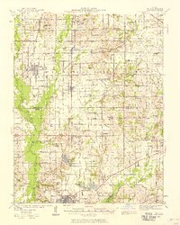 1939 Ina1958 Print · USGSJefferson and Franklin Counties appear here as they were in the late 1930s, showing a landscape of fertile prairies and growing rail towns. Researchers can trace dozens of family-named schools and landmarks like King College, the STATE GAME FARM, and the Antioch Ch cemetery.2 unique versions available
 - 1943 Map of Ina
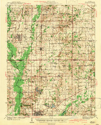 1943 Ina1943 Print · USGSSouthern Illinois during the mid-forties reveals a complex grid of rural schools, coal-town rail spurs, and early collegiate outposts. Genealogists can trace family roots through dozens of local landmarks like Williams Chapel, Mason Cem, and the vanished desks of Hungry Hill Sch.2 unique versions available
 - 1958 Map of Belleville, 1973 Print
 1958 Belleville1973 Print · USGSSouthern Illinois during the mid-twentieth century reveals a landscape of industrial growth and massive new reservoirs. Genealogists and historians can trace the paths of the Illinois Central RR through towns like Centralia or locate landmarks such as Emerald Mound and the Looking Glass Prairie.3 unique versions available
 - 1962 Map of Belleville
 1962 Belleville1962 Print · USGSSouthern Illinois in the late fifties reveals a landscape of industrial growth and ancient landmarks before the full expansion of the interstate system. Genealogists can trace family names and rural post offices near Centralia, Salem, and the historic Monks Mound.
 - 1975 Map of Ina, 1977 Print
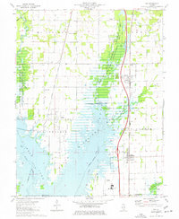 1975 Ina1977 Print · USGSSouthern Jefferson County is captured during the 1970s as the filling of Rend Lake reshapes the landscape around the Chicago and Eastern Illinois Railroad. Researchers can trace the heritage of Ina and Nason, find ancestral sites like Cub Prairie Cem, or locate the original Elk Prairie Ch.
 - 1982 Map of Mount Vernon
 1982 Mount Vernon1982 Print · USGSSouthern Illinois and Southwestern Indiana meet here during a period of significant regional water management and transit growth. Researchers can trace the development of Rend Lake and locate vanished rail stops along the Southern RR near Bluford and Golden Gate.
 - 1998 Map of Ina, 2000 Print
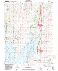 1998 Ina2000 Print · USGSJefferson County at the close of the twentieth century shows a landscape transformed by the waters of Rend Lake. Genealogists and local historians can locate several family cemeteries, including Mason Cem and Cub Prairie Cem, alongside rural hubs like Dareville and Rend Lake College.
 - 2012 Map of Ina, 2012 Print
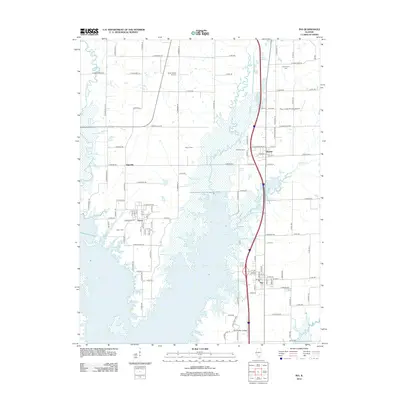 2012 Ina2012 Print · USGSCovers Nason, including Ina, Bonnie, and other nearby areas
 - 2015 Map of Ina, 2015 Print
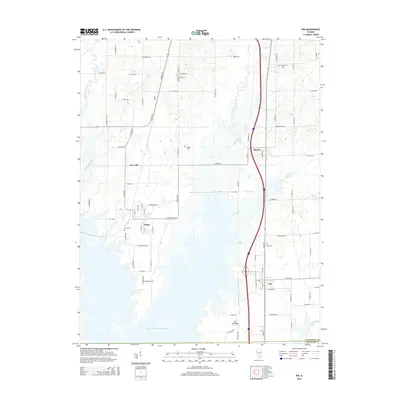 2015 Ina2015 Print · USGSCovers Nason, including Ina, Bonnie, and other nearby areas
 - 2018 Map of Ina, 2018 Print
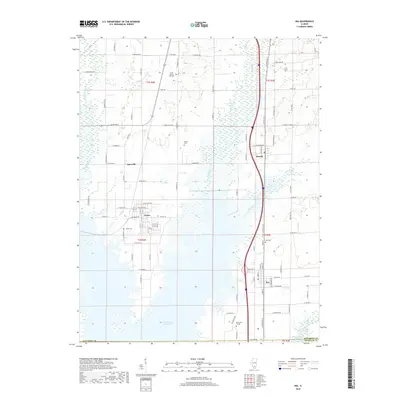 2018 Ina2018 Print · USGSCovers Nason, including Ina, Bonnie, and other nearby areas
 - 2021 Map of Ina, 2021 Print
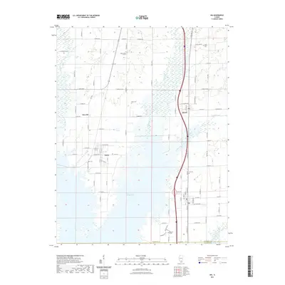 2021 Ina2021 Print · USGSCovers Nason, including Ina, Bonnie, and other nearby areas
 - 2024 Map of Ina, 2024 Print
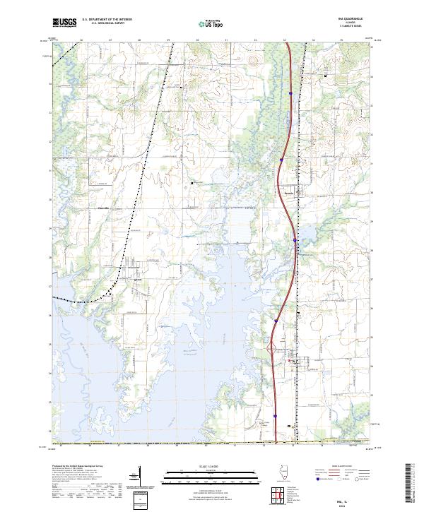 2024 Ina2024 Print · USGSJefferson County in the early twenty-first century is defined by its rural settlements and the expanding reach of the regional reservoir system. Local researchers can trace family sites at Hickory Hill Cem and Abner Cem or locate the historic center of Ina.
End of results
Showing maps 1-12 of 12
Top cities near Nason
- Mount Vernon historical maps
- Benton historical maps
- Spring Garden historical maps
- Christopher historical maps
- Ina historical maps
- Sesser historical maps
See more
Frequently asked questions
- What are the different types of historical maps available for Nason?
- What is the oldest map of Nason?
- Where can I purchase historical maps of Nason for my home or office?
- Where can I download high-res historical maps of Nason?
- Are there historical topographic maps available for Nason?
- Is there historical aerial imagery available for Nason?
- Where are historical maps of Nason sourced from?