2020s Maps of Amity Township, Illinois
Explore 8 historic maps of Amity Township from the 2020s. These maps offer a rare glimpse into what life looked like during the 2020s — showing old roads, neighborhoods, homes, and landmarks that have changed or disappeared over time.
Whether you're researching your family's past, planning a metal detecting trip, or studying how Amity Township's landscape evolved across the 2020s, these high-resolution maps are a powerful tool for exploring the history of this region.
- Focus on a specific era: All maps on this page are from the 2020s, giving you a focused view of this time period.
- See what’s changed: Compare century-old streets, trails, and buildings to today's modern landscape using overlays and satellite layers.
- Research with precision: Use these maps for genealogy, historical research, land use analysis, or educational projects.
- View, download, or print: Maps are fully viewable online in high resolution, and can be downloaded or printed for your own records.
Start exploring Amity Township's history through authentic maps from the 2020s. This is your window into the past.
Amity Township, IL maps
(8)- 2021 Map of Flanagan North, 2021 Print
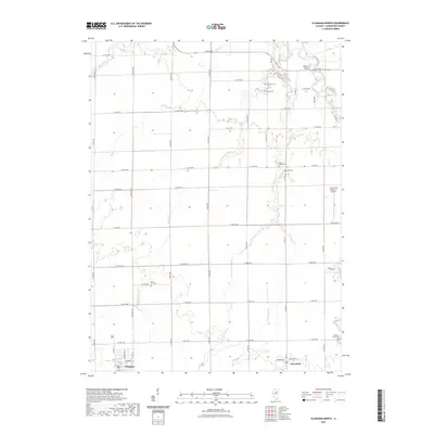 2021 Flanagan North2021 Print · USGSCovers Amity Township, including Flanagan, Rooks Creek Township, and other nearby areas
 - 2021 Map of Northwest Pontiac, 2021 Print
 2021 Northwest Pontiac2021 Print · USGSCovers Amity Township, including Pontiac, Cornell, and other nearby areas
 - 2021 Map of Streator South, 2021 Print
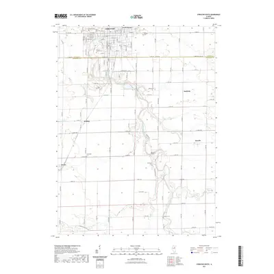 2021 Streator South2021 Print · USGSCovers Amity Township, including Streator, Vermilion City, and other nearby areas
 - 2021 Map of Blackstone, 2021 Print
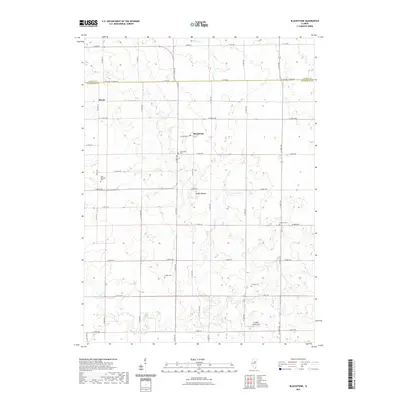 2021 Blackstone2021 Print · USGSCovers Amity Township, including Missal, Allen Township, and other nearby areas
 - 2024 Map of Streator South, 2024 Print
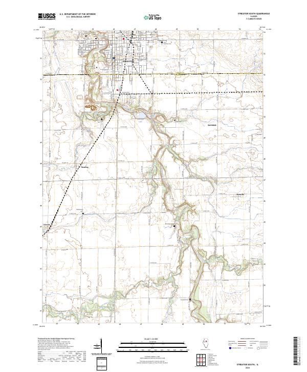 2024 Streator South2024 Print · USGSThe Vermilion River valley and the southern reaches of Streator are captured in this recent survey of the LaSalle and Livingston County line. Researchers can locate numerous family burial sites such as Moon Point Cem and Barrickman Cem or trace the BNSF Railway corridor through Ancona.
 - 2024 Map of Flanagan North, 2024 Print
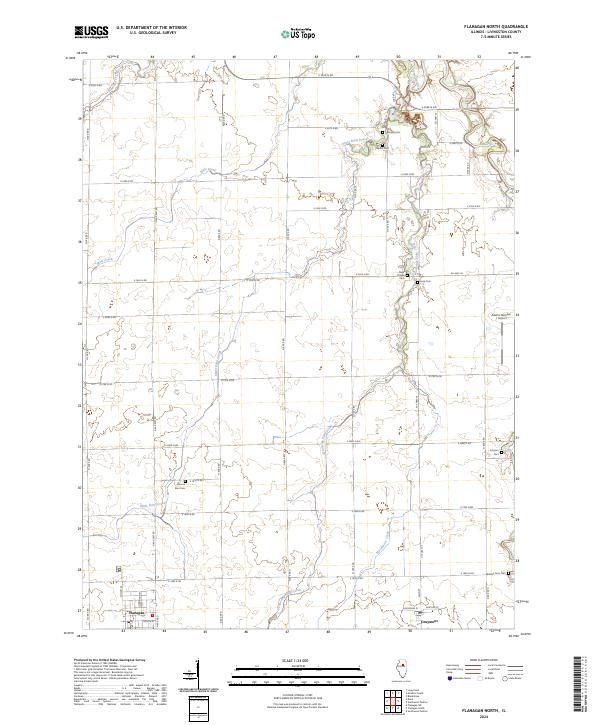 2024 Flanagan North2024 Print · USGSLivingston County's agricultural heartland is documented in the mid-2020s, showing the enduring grid of prairie townships. Family historians can locate numerous small burial sites like Nigh Chapel Cem and Morris Cem between the towns of Flanagan and Graymont.
 - 2024 Map of Blackstone, 2024 Print
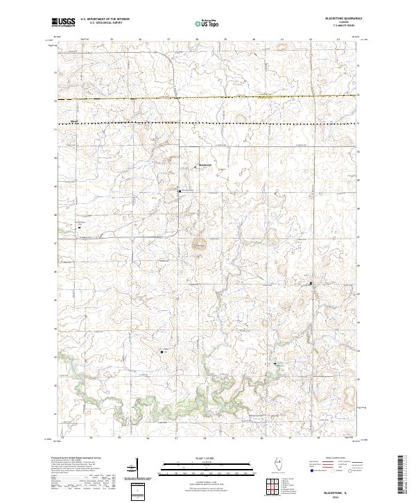 2024 Blackstone2024 Print · USGSLivingston and LaSalle counties are shown in high detail during the twenty-first century, documenting a landscape of rural townships and prairie waterways. Researchers can locate family burial grounds like New Michigan Cem and Sunbury Cem or trace the namesake settlement of Blackstone.
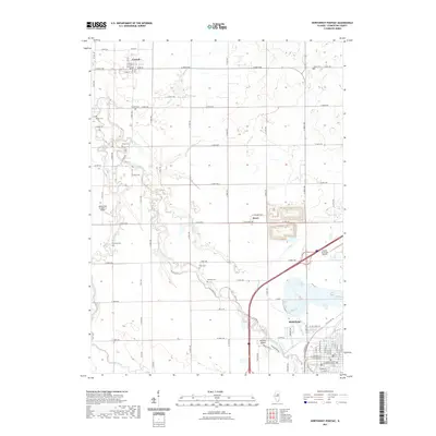
 - 2024 Map of Northwest Pontiac, 2024 Print
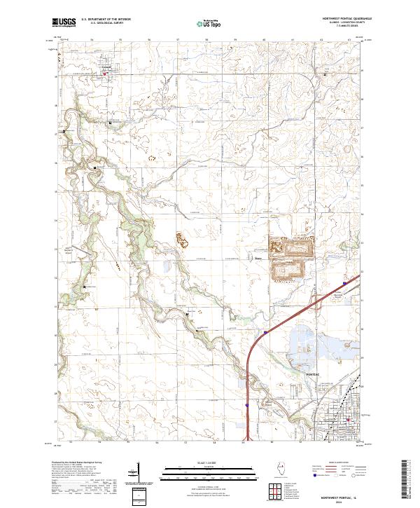 2024 Northwest Pontiac2024 Print · USGSLivingston County's river-fed prairies appear here in the modern era, showing the enduring agricultural and civic layout of the region. Genealogists can locate family burial sites like Cornell Cem and Corbins Cem alongside the winding Vermilion River.
End of results
Showing maps 1-8 of 8
Top cities near Amity Township
- Streator historical maps
- Pontiac historical maps
- Fairbury historical maps
- El Paso historical maps
- Chenoa historical maps
- Gridley historical maps
See more
Top neighborhoods of Amity Township
Frequently asked questions
- What are the different types of historical maps available for Amity Township?
- What is the oldest map of Amity Township?
- Where can I purchase historical maps of Amity Township for my home or office?
- Where can I download high-res historical maps of Amity Township?
- Are there historical topographic maps available for Amity Township?
- Is there historical aerial imagery available for Amity Township?
- Where are historical maps of Amity Township sourced from?