Old Maps of Shipman, Illinois
Explore 17 old maps of Shipman, spanning from 1925 to today. These high-resolution historic maps reveal how streets, neighborhoods, landmarks, and natural features evolved over time — perfect for genealogy, metal detecting, research, and local history exploration.
What you can do with these maps:
- See how Shipman changed over time: Compare historical maps to modern-day views to trace roads, homesites, rail lines & more.
- View detailed metadata: Each map includes creators, publishers, year, scale, and archive source.
- Overlay maps with satellite & LiDAR: Visualize the past alongside modern tools to explore terrain & human change.
- Trusted historical sources: Maps sourced from the USGS, Library of Congress, and other archives.
- Access maps your way: View online, download high-res files, or order prints for personal or research use.
Start exploring old maps of Shipman to uncover forgotten places, hidden landmarks, and the deep history beneath your feet.
Shipman, IL maps
(17)- 1925 Map of Brighton, 1958 Print
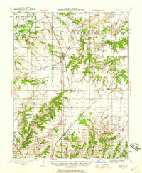 1925 Brighton1958 Print · USGSSouthwestern Illinois was a bustling rail-and-farm corridor in the mid-1920s, characterized by numerous small settlements and village schoolhouses. Researchers can trace the vanished rural infrastructure of Medora, Piasa, and Woodburn, alongside over twenty named country schools like Brush College School.2 unique versions available
 - 1928 Map of Brighton
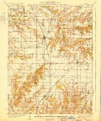 1928 Brighton1928 Print · USGSSouthwestern Illinois was a bustling network of rail-side towns and country school districts in the mid-1920s. Researchers can locate nearly thirty local schools including Brush College School and Washington School, or trace the tracks of the Chicago and Alton through Shipman and Brighton.2 unique versions available
 - 1948 Map of Quincy
 1948 Quincy1948 Print · USGSThe Mississippi and Illinois River valleys are captured at a post-war crossroads as rail and river travel met the expanding highway system. Genealogists can trace family settlements from Quincy to Hannibal and smaller towns like Vandalia and Jerseyville.2 unique versions available
 - 1956 Map of Quincy, 1967 Print
 1956 Quincy1967 Print · USGSThe river and rail corridors of the Illinois-Missouri border are documented here during the mid-1950s. Researchers can trace historic river landings and regional transit hubs from Quincy and Hannibal to smaller settlements like Meredosia and Roodhouse.3 unique versions available
 - 1982 Map of Summerville
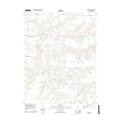
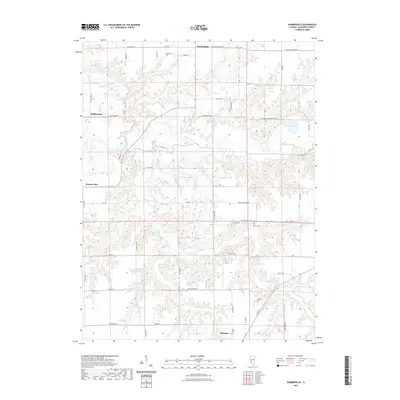
 1982 Summerville1982 Print · USGSMacoupin County in the early eighties shows a landscape shaped by the winding Macoupin Creek and its many wooded hollows. Genealogists and local historians can trace rural property patterns near Summerville, Challacombe, and several country Cem locations.
 - 1983 Map of Shipman, 1984 Print
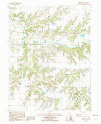
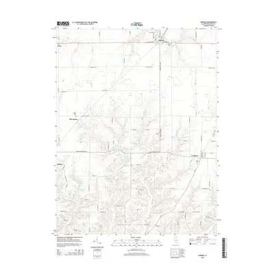
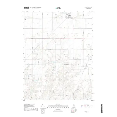
 1983 Shipman1984 Print · USGSShipman and the surrounding Macoupin County townships are shown in the early eighties as the agricultural landscape met the rail lines. Family historians can locate several rural burial sites and churches, including Miles Station Cem, St Denis Cem, and Woodburn Ch.
 - 1985 Map of Jerseyville
 1985 Jerseyville1985 Print · USGSThe confluence of the Illinois and Mississippi rivers defines this 1980s landscape of fertile bottomlands and rail-hub towns. Genealogists and historians can trace the foundations of communities like Jerseyville and White Hall alongside the Oak Grove Cem and St Mary Church.2 unique versions available
 - 2012 Map of Shipman, 2012 Print
 2012 Shipman2012 Print · USGSCovers Shipman, including Brighton, Woodburn, and other nearby areas
 - 2012 Map of Summerville, 2012 Print
 2012 Summerville2012 Print · USGSCovers Shipman, including Summerville, Challacombe, and other nearby areas
 - 2015 Map of Shipman, 2015 Print
 2015 Shipman2015 Print · USGSCovers Shipman, including Brighton, Woodburn, and other nearby areas
 - 2015 Map of Summerville, 2015 Print
 2015 Summerville2015 Print · USGSCovers Shipman, including Summerville, Challacombe, and other nearby areas
 - 2018 Map of Summerville, 2018 Print
 2018 Summerville2018 Print · USGSCovers Shipman, including Summerville, Challacombe, and other nearby areas
 - 2018 Map of Shipman, 2018 Print
 2018 Shipman2018 Print · USGSCovers Shipman, including Brighton, Woodburn, and other nearby areas
 - 2021 Map of Summerville, 2021 Print
 2021 Summerville2021 Print · USGSCovers Shipman, including Summerville, Challacombe, and other nearby areas
 - 2021 Map of Shipman, 2021 Print
 2021 Shipman2021 Print · USGSCovers Shipman, including Brighton, Woodburn, and other nearby areas
 - 2024 Map of Summerville, 2024 Print
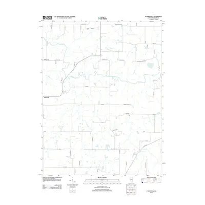
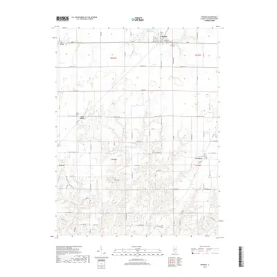
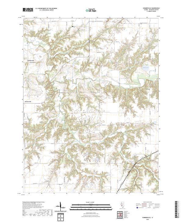 2024 Summerville2024 Print · USGSMacoupin County's rural landscape is documented here in the early twenty-first century, showing the enduring structure of small Illinois prairie communities. Genealogists can locate Gelder Cem and Armour Cem, or trace early road names like Challacombe Rd.
 - 2024 Map of Shipman, 2024 Print
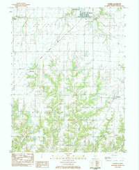
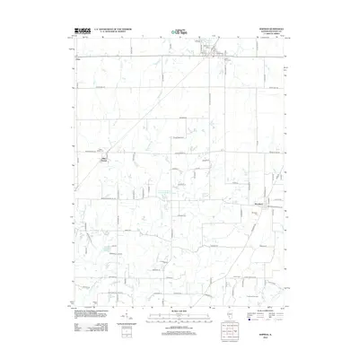
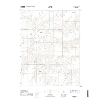
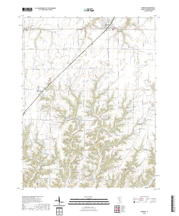 2024 Shipman2024 Print · USGSMacoupin County at the start of the 2020s remains a landscape of prairie agriculture and quiet crossroads. Genealogists can locate several historic burial grounds, including Saint Denis Cemetery and Wood Cemetery, while tracing the waters of Piasa Creek.
End of results
Showing maps 1-17 of 17
Top cities near Shipman
- Alton historical maps
- Godfrey historical maps
- Bethalto historical maps
- Carlinville historical maps
- East Alton historical maps
- Staunton historical maps
See more
Frequently asked questions
- What are the different types of historical maps available for Shipman?
- What is the oldest map of Shipman?
- Where can I purchase historical maps of Shipman for my home or office?
- Where can I download high-res historical maps of Shipman?
- Are there historical topographic maps available for Shipman?
- Is there historical aerial imagery available for Shipman?
- Where are historical maps of Shipman sourced from?