Old Maps of Heritage Estates, Glen Carbon
Explore 23 old maps of Heritage Estates, spanning from 1907 to today. These high-resolution historic maps reveal how streets, neighborhoods, landmarks, and natural features evolved over time — perfect for genealogy, metal detecting, research, and local history exploration.
What you can do with these maps:
- See how Heritage Estates changed over time: Compare historical maps to modern-day views to trace roads, homesites, rail lines & more.
- View detailed metadata: Each map includes creators, publishers, year, scale, and archive source.
- Overlay maps with satellite & LiDAR: Visualize the past alongside modern tools to explore terrain & human change.
- Trusted historical sources: Maps sourced from the USGS, Library of Congress, and other archives.
- Access maps your way: View online, download high-res files, or order prints for personal or research use.
Start exploring old maps of Heritage Estates to uncover forgotten places, hidden landmarks, and the deep history beneath your feet.
Heritage Estates, Glen Carbon maps
(23)- 1907 Map of Belleville
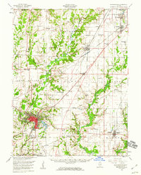
 1907 Belleville1907 Print · USGSSouthwestern Illinois is seen at a height of rail-driven expansion in the early twentieth century. Trace genealogy and land history in Belleville, O'Fallon, and Summerfield along the Vandalia System and other regional lines.3 unique versions available
 - 1927 Map of Edwardsville, 1957 Print
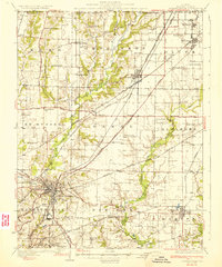
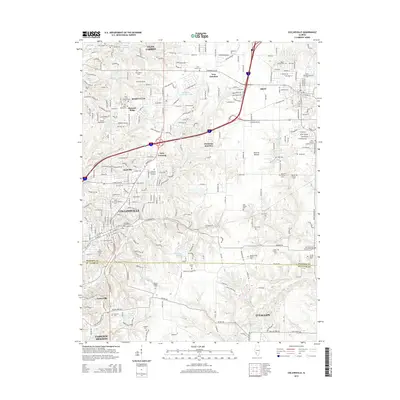
 1927 Edwardsville1957 Print · USGSMadison County at the end of the twenties shows a landscape defined by coal mining and a complex web of steam and electric rail. Genealogists and historians can trace family-named landmarks and rural hubs like the Klondike Mine, St Johns Ch, and dozens of country schools from Yorkville Sch to Sylvan Hill Sch.
 - 1932 Map of Edwardsville
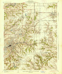
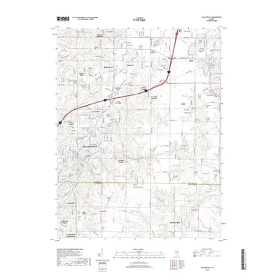
 1932 Edwardsville1932 Print · USGSMadison County in the early thirties was a bustling intersection of coal mining and heavy rail. Genealogists can trace family names through dozens of rural schools and landmarks like the Klondike Mine, Sunset Hills Cem, and Le Claire.2 unique versions available
 - 1937 Map of Collinsville
 1937 Collinsville1937 Print · USGSSouthwestern Illinois thrives in the mid-1930s as a hub of rail traffic and coal-country commerce. Genealogists and local historians can trace family locations near Chinatown, Donkville, and numerous country schools like Bethel Sch or Spring Valley Sch.2 unique versions available
 - 1950 Map of Edwardsville
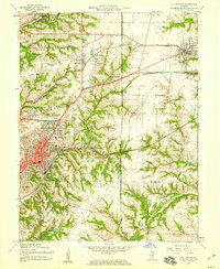
 1950 Edwardsville1950 Print · USGSEdwardsville and Glen Carbon are shown as thriving railroad and coal hubs at mid-century. Researchers can trace family roots through the numerous named schools and cemeteries like Pin Oak Sch, St James Cem, and the Black Diamond Coal Mine.2 unique versions available
 - 1954 Map of Collinsville, 1959 Print
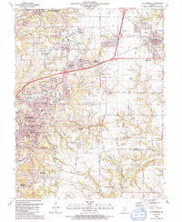
 1954 Collinsville1959 Print · USGSMid-century Madison County reveals an era of thriving rail junctions and local neighborhood schools. Genealogists and local historians can trace family locations through landmarks like Finland Cem, Troy Crossing, and Lanham Sch.4 unique versions available
 - 1954 Map of Edwardsville, 1959 Print
 1954 Edwardsville1959 Print · USGSEdwardsville and Glen Carbon are shown during the mid-fifties at a peak of rail activity, where six different lines converge. Local historians can trace family roots through numerous burial sites like Woodlawn Cem and old schoolhouses including Pin Oak Sch and Goshen Sch.4 unique versions available
 - 1954 Map of Edwardsville, 1960 Print
 1954 Edwardsville1960 Print · USGSMadison County in the mid-fifties reveals a landscape defined by the intersection of coal-era rail lines and expanding suburban settlements. Local historians can trace the legacy of small-town institutions like Quercus Grove Sch, the residential tracts of LeClaire, and the industrial footprint of the Mine Dump near Worden.
 - 1958 Map of Belleville, 1973 Print
 1958 Belleville1973 Print · USGSSouthern Illinois during the mid-twentieth century reveals a landscape of industrial growth and massive new reservoirs. Genealogists and historians can trace the paths of the Illinois Central RR through towns like Centralia or locate landmarks such as Emerald Mound and the Looking Glass Prairie.3 unique versions available
 - 1962 Map of Belleville
 1962 Belleville1962 Print · USGSSouthern Illinois in the late fifties reveals a landscape of industrial growth and ancient landmarks before the full expansion of the interstate system. Genealogists can trace family names and rural post offices near Centralia, Salem, and the historic Monks Mound.
 - 1985 Map of Carlyle Lake
 1985 Carlyle Lake1985 Print · USGSSouthwestern Illinois in the mid-eighties shows a landscape of growing commuter suburbs and massive water management projects. Genealogists and historians can locate family plots at Lakeview Memorial Gardens Cem or trace the early footprint of Southern Illinois Univ (Edwardsville).2 unique versions available
 - 1991 Map of Collinsville
 1991 Collinsville1991 Print · USGSThe Collinsville and Troy area comes alive in the early nineties as suburban neighborhoods began to weave through the older rural landscape. Researchers can trace family sites at St Pauls Cem or locate community landmarks like Maryville Sch and Troy Crossing.
 - 1991 Map of Edwardsville
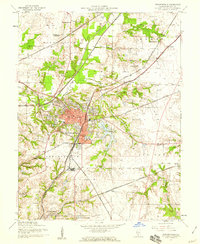
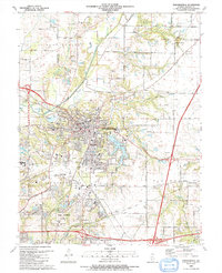 1991 Edwardsville1991 Print · USGSMadison County at the start of the nineties shows the growth of the EDWARDSVILLE and GLEN CARBON communities. Researchers can trace family sites and local landmarks from St Boniface Cem to the early campus layout of SOUTHERN ILLINOIS UNIVERSITY AT EDWARDSVILLE.
 - 2012 Map of Edwardsville, 2012 Print
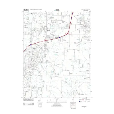
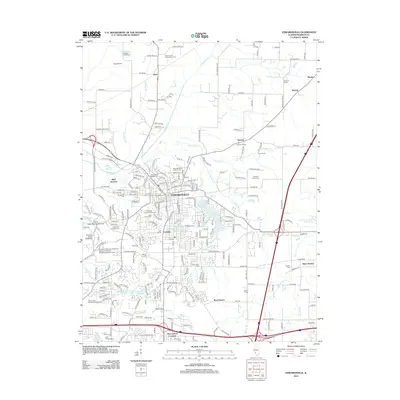 2012 Edwardsville2012 Print · USGSCovers Heritage Estates, including Edwardsville, Glen Carbon, and other nearby areas
 - 2012 Map of Collinsville, 2012 Print
 2012 Collinsville2012 Print · USGSCovers Heritage Estates, including O'Fallon, Collinsville, and other nearby areas
 - 2015 Map of Edwardsville, 2015 Print
 2015 Edwardsville2015 Print · USGSCovers Heritage Estates, including Edwardsville, Glen Carbon, and other nearby areas
 - 2015 Map of Collinsville, 2015 Print
 2015 Collinsville2015 Print · USGSCovers Heritage Estates, including O'Fallon, Collinsville, and other nearby areas
 - 2018 Map of Collinsville, 2018 Print
 2018 Collinsville2018 Print · USGSCovers Heritage Estates, including O'Fallon, Collinsville, and other nearby areas
 - 2018 Map of Edwardsville, 2018 Print
 2018 Edwardsville2018 Print · USGSCovers Heritage Estates, including Edwardsville, Glen Carbon, and other nearby areas
 - 2021 Map of Edwardsville, 2021 Print
 2021 Edwardsville2021 Print · USGSCovers Heritage Estates, including Edwardsville, Glen Carbon, and other nearby areas
 - 2021 Map of Collinsville, 2021 Print
 2021 Collinsville2021 Print · USGSCovers Heritage Estates, including O'Fallon, Collinsville, and other nearby areas
 - 2024 Map of Edwardsville, 2024 Print
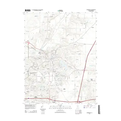
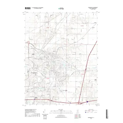
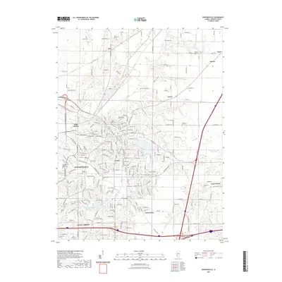
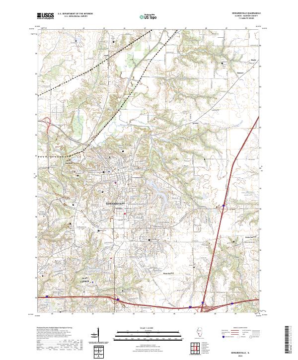 2024 Edwardsville2024 Print · USGSMadison County's seat and the surrounding Illinois prairie are shown here in the contemporary era. Genealogists and historians can trace numerous family and church burial sites including Wolf Family Cem, Lusk Cem, and Quercus Grove Cem.
 - 2024 Map of Collinsville, 2024 Print
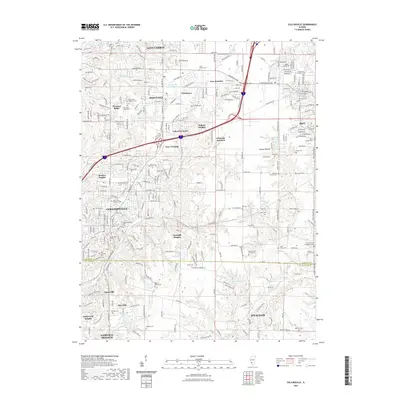
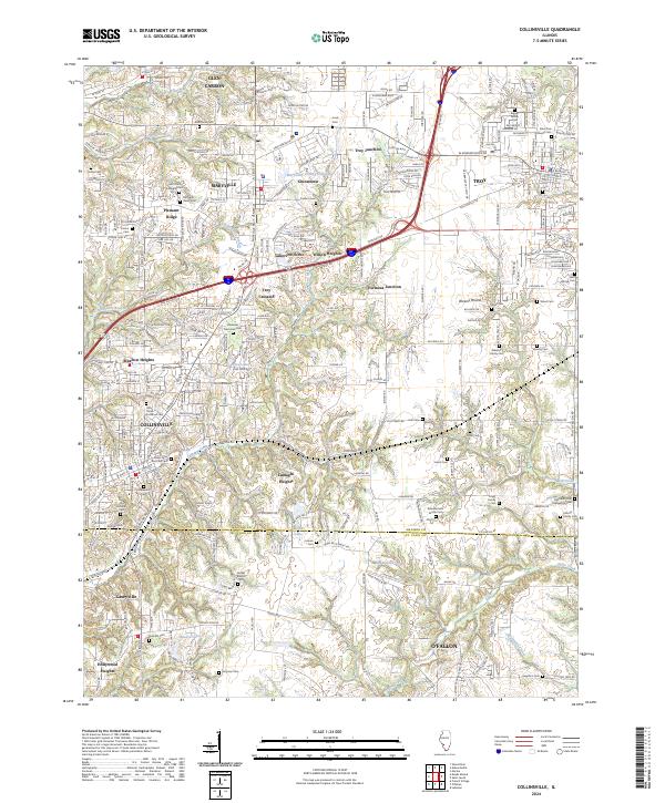 2024 Collinsville2024 Print · USGSThis contemporary survey of southwestern Illinois shows the modern intersection of interstate commerce and deep-rooted local history. Genealogists can trace family names across numerous sites like Riggin Family Cem, Metz Cem, and Lumaghi Heights.
End of results
Showing maps 1-23 of 23
Frequently asked questions
- What are the different types of historical maps available for Heritage Estates?
- What is the oldest map of Heritage Estates?
- Where can I purchase historical maps of Heritage Estates for my home or office?
- Where can I download high-res historical maps of Heritage Estates?
- Are there historical topographic maps available for Heritage Estates?
- Is there historical aerial imagery available for Heritage Estates?
- Where are historical maps of Heritage Estates sourced from?