2020s Maps of Central City, Illinois
Explore 4 historic maps of Central City from the 2020s. These maps offer a rare glimpse into what life looked like during the 2020s — showing old roads, neighborhoods, homes, and landmarks that have changed or disappeared over time.
Whether you're researching your family's past, planning a metal detecting trip, or studying how Central City's landscape evolved across the 2020s, these high-resolution maps are a powerful tool for exploring the history of this region.
- Focus on a specific era: All maps on this page are from the 2020s, giving you a focused view of this time period.
- See what’s changed: Compare century-old streets, trails, and buildings to today's modern landscape using overlays and satellite layers.
- Research with precision: Use these maps for genealogy, historical research, land use analysis, or educational projects.
- View, download, or print: Maps are fully viewable online in high resolution, and can be downloaded or printed for your own records.
Start exploring Central City's history through authentic maps from the 2020s. This is your window into the past.
Central City, IL maps
(4)- 2021 Map of Centralia East, 2021 Print
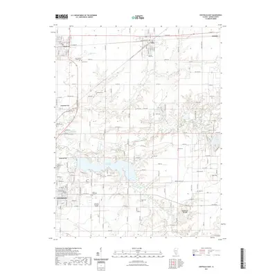 2021 Centralia East2021 Print · USGSCovers Central City, including Centralia, Salem, and other nearby areas
 - 2021 Map of Centralia West, 2021 Print
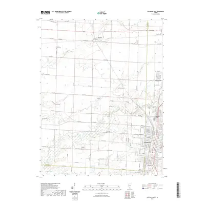 2021 Centralia West2021 Print · USGSCovers Central City, including Centralia, Sandoval, and other nearby areas
 - 2024 Map of Centralia West, 2024 Print
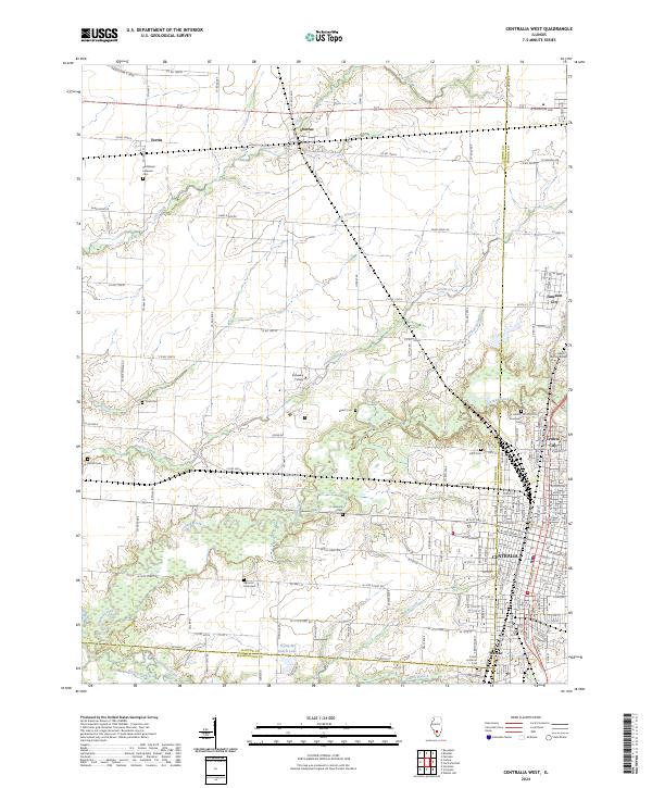 2024 Centralia West2024 Print · USGSClinton County and the outskirts of Centralia appear in the early 2020s, showing a landscape of fertile prairie branches and growing residential blocks. Genealogists can locate family landmarks like Garrison Graveyard, Petrea Cem, and the campus of Kaskaskia College.
 - 2024 Map of Centralia East, 2024 Print
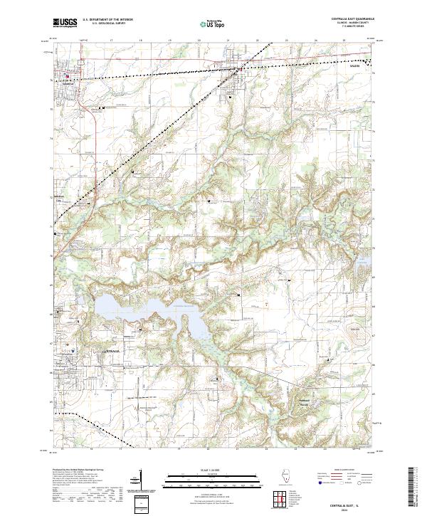 2024 Centralia East2024 Print · USGSMarion County in the early 2020s reflects a landscape of deep rail history and significant water management. Genealogists can locate numerous rural burial sites like Ennis Cem and Zion Hill Cem, or trace the tracks of the BNSF Railway.
End of results
Showing maps 1-4 of 4
Top cities near Central City
- Mount Vernon historical maps
- Centralia historical maps
- Salem historical maps
- Carlyle historical maps
- Nashville historical maps
- Sandoval historical maps
See more
Frequently asked questions
- What are the different types of historical maps available for Central City?
- What is the oldest map of Central City?
- Where can I purchase historical maps of Central City for my home or office?
- Where can I download high-res historical maps of Central City?
- Are there historical topographic maps available for Central City?
- Is there historical aerial imagery available for Central City?
- Where are historical maps of Central City sourced from?