Old Maps of Golden Eagle, Bloomington for Hiking & Exploration
Hike through history with 23 historic maps of Golden Eagle. Explore old trails, ghost towns, and forgotten backroads — perfect for outdoor adventurers and local explorers.
- Rediscover forgotten places: Map out old mining camps, roads, and footpaths that no longer exist on modern maps.
- Layer with modern tools: Combine with LiDAR or satellite views to plan hikes through historical terrain.
- Made for exploration: Popular among hikers, overlanders, and local history lovers.
Use these maps to find adventure and explore the hidden past of Golden Eagle.
Golden Eagle, Bloomington maps
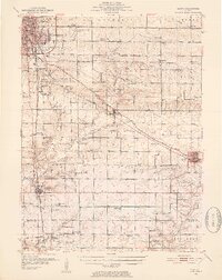
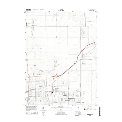
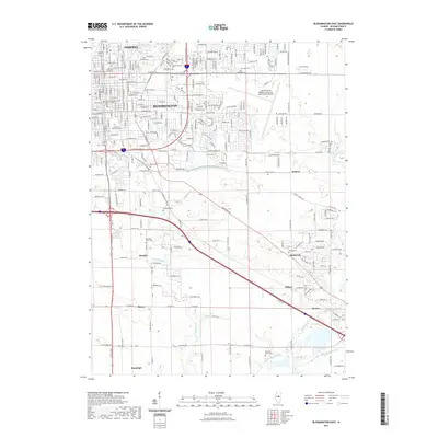
(23)- 1926 Map of Normal, 1966 Print
 1926 Normal1966 Print · USGSCentral Illinois rail towns and prairie farmsteads are captured here during the mid-1920s. Genealogists can locate dozens of rural landmarks, including the Union Ch and schoolhouses like Frog Alley Sch and Sixmile Sch.2 unique versions available
 - 1930 Map of Normal
 1930 Normal1930 Print · USGSMcLean County is captured here in the late twenties, showing a rural landscape defined by rail lines and a school in nearly every section. Genealogists can locate specific landmarks like the Little Red Sch, the Town Hall in Money Creek, and the old rail corridors of the Chicago and Alton.2 unique versions available
 - 1951 Map of Le Roy, 1952 Print
 1951 Le Roy1952 Print · USGSThe McLean and De Witt County line area comes alive in the early fifties as a landscape of rail-connected towns and fading country schoolhouses. Genealogists can trace family roots through Old Rutledge Cem or locate forgotten sites like Shamrock and Hendryx Sch.3 unique versions available
 - 1958 Map of Peoria, 1969 Print
 1958 Peoria1969 Print · USGSCentral Illinois thrived as a hub of education and transport during the late sixties, as the new interstate system began to reshape the prairie. Genealogists and historians can trace local landmarks like Springdale Cem, Bradley University, and the sprawling grounds of Chanute AFB.4 unique versions available
 - 1961 Map of Peoria
 1961 Peoria1961 Print · USGSCentral Illinois thrived at the intersection of river trade and rail power during the late fifties. Genealogists and local historians can trace the rail networks of the Illinois Central and Wabash, alongside landmarks like Chanute AFB and Weldon Springs State Park.
 - 1963 Map of Peoria
 1963 Peoria1963 Print · USGSCentral Illinois thrived as a rail and highway crossroads during the early sixties, centered on the bustling Illinois River valley. Genealogists and historians can trace the mid-century layout of Peoria, locate the grounds of Chanute Air Force Base, and follow historic lines like the Toledo Peoria and Western Railway.
 - 1981 Map of Bloomington East
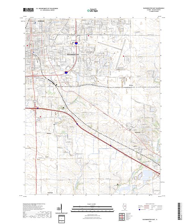
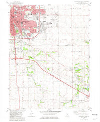 1981 Bloomington East1981 Print · USGSBloomington and Normal expansion is captured here in the early eighties as the urban grid meets the central Illinois prairie. Trace local history at Illinois Wesleyan University, or locate family sites at Evergreen Memorial Cemetery and the County Farm.
 - 1981 Map of Normal East
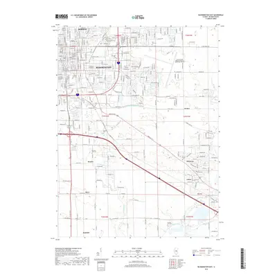
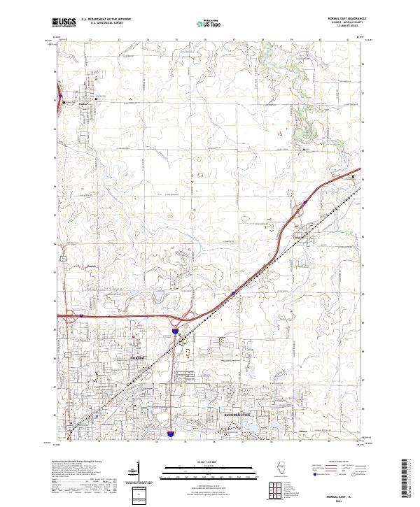
 1981 Normal East1981 Print · USGSCentral Illinois growth reaches toward Hudson and Towanda in the early eighties as urban borders expand near the university campus. Genealogists can trace family plots at Bishop Cem or Havens Cem and locate landmarks like the Soldiers and Sailors State Childrens Home.
 - 1985 Map of Fairbury
 1985 Fairbury1985 Print · USGSCentral Illinois in the mid-1980s reveals a landscape shaped by the Illinois Central Gulf rail network and the Vermilion River basin. Trace the roots of local communities from Fairbury to Pontiac, and locate landmarks like the State Correctional Center and High Chapel.2 unique versions available
 - 1985 Map of Champaign, 1986 Print
 1985 Champaign1986 Print · USGSThe Illinois prairie comes alive in this mid-eighties survey of the vital rail corridor between Bloomington and Champaign. Genealogists and historians can trace the development of township hubs like Saybrook and Bellflower or locate Chanute Air Force Base and the Sangamon River.2 unique versions available
 - 1990 Map of Peoria
 1990 Peoria1990 Print · USGSCentral Illinois at the start of the nineties reveals a landscape of industrial river towns and sprawling university campuses. Researchers can trace the legacy of major institutions like Chanute Air Force Base and the University of Illinois alongside regional landmarks such as Sand Ridge State Forest.
 - 1998 Map of Normal East, 2000 Print
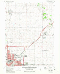
 1998 Normal East2000 Print · USGSThe Twin Cities of Central Illinois are captured here in the late nineties, documenting a period of significant collegiate and suburban growth. Genealogists and historians can locate legacy sites like the Soldiers and Sailors State Childrens Home, Bishop Cem, and the early layout of Illinois State University.
 - 1998 Map of Bloomington East, 2000 Print
 1998 Bloomington East2000 Print · USGSThe eastern edges of Bloomington and Normal are shown here as they appeared in the late nineties, documenting the expansion of these central Illinois hubs. Genealogists can locate several rural burial grounds such as Blooming Grove Cemetery and trace the paths of old settlements like Hendrix and Gillum.
 - 2012 Map of Bloomington East, 2012 Print
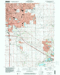
 2012 Bloomington East2012 Print · USGSCovers Golden Eagle, including Bloomington, Normal, and other nearby areas
 - 2012 Map of Normal East, 2012 Print
 2012 Normal East2012 Print · USGSCovers Golden Eagle, including Bloomington, Normal, and other nearby areas
 - 2015 Map of Bloomington East, 2015 Print
 2015 Bloomington East2015 Print · USGSCovers Golden Eagle, including Bloomington, Normal, and other nearby areas
 - 2015 Map of Normal East, 2015 Print
 2015 Normal East2015 Print · USGSCovers Golden Eagle, including Bloomington, Normal, and other nearby areas
 - 2018 Map of Bloomington East, 2018 Print
 2018 Bloomington East2018 Print · USGSCovers Golden Eagle, including Bloomington, Normal, and other nearby areas
 - 2018 Map of Normal East, 2018 Print
 2018 Normal East2018 Print · USGSCovers Golden Eagle, including Bloomington, Normal, and other nearby areas
 - 2021 Map of Normal East, 2021 Print
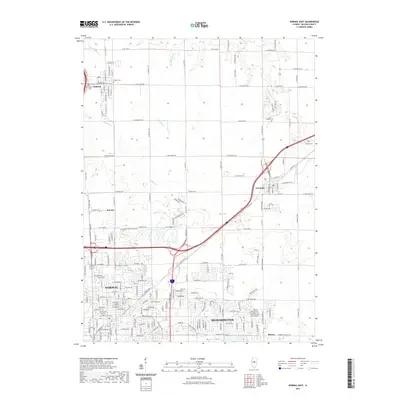 2021 Normal East2021 Print · USGSCovers Golden Eagle, including Bloomington, Normal, and other nearby areas
 - 2021 Map of Bloomington East, 2021 Print
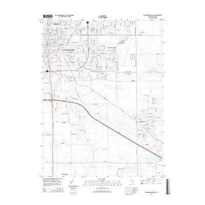
 2021 Bloomington East2021 Print · USGSCovers Golden Eagle, including Bloomington, Normal, and other nearby areas
 - 2024 Map of Bloomington East, 2024 Print
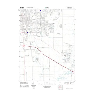
 2024 Bloomington East2024 Print · USGSMcLean County appears as a blend of urban expansion and traditional prairie settlements in this recent survey. Local researchers can trace the growth of Normal and Bloomington or locate rural landmarks like Blooming Grove Cem and the village of Gillum.
 - 2024 Map of Normal East, 2024 Print
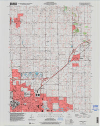
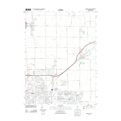
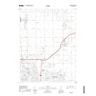
 2024 Normal East2024 Print · USGSMcLean County is captured here at a moment of modern transition as the suburban reach of Normal and Bloomington meets the surrounding prairie. Researchers can trace ancestral sites at Bishop Cem or follow the legendary path of Old Rte 66 through the heart of Towanda.
End of results
Showing maps 1-23 of 23
Frequently asked questions
- What are the different types of historical maps available for Golden Eagle?
- What is the oldest map of Golden Eagle?
- Where can I purchase historical maps of Golden Eagle for my home or office?
- Where can I download high-res historical maps of Golden Eagle?
- Are there historical topographic maps available for Golden Eagle?
- Is there historical aerial imagery available for Golden Eagle?
- Where are historical maps of Golden Eagle sourced from?