Old Maps of Colfax, Illinois for Academic Research
Study the evolution of Colfax with 18 high-resolution historic maps. Whether you're teaching, researching, or modeling changes in land use, these maps provide essential visual documentation of urban, environmental, and geographic change.
- Analyze long-term change: Track patterns in development, transportation, and natural features.
- Ideal for environmental or urban studies: Support academic projects with primary historical map data.
- Use in the classroom or lab: Educators and researchers rely on these maps to bring historical context to life.
These maps are a powerful tool for teaching, research, and visualizing how Colfax has changed over the decades.
Colfax, IL maps
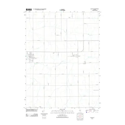
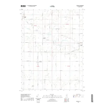
(18)- 1957 Map of Colfax, 1958 Print
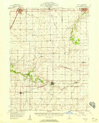 1957 Colfax1958 Print · USGSCentral Illinois farming country is mapped here during the mid-fifties, showing the vital rail corridors through McLean and Livingston counties. Genealogists can trace family roots at Pleasant Hill Cem, Antioch Cem, and the community of Cooksville.
 - 1958 Map of Peoria, 1969 Print
 1958 Peoria1969 Print · USGSCentral Illinois thrived as a hub of education and transport during the late sixties, as the new interstate system began to reshape the prairie. Genealogists and historians can trace local landmarks like Springdale Cem, Bradley University, and the sprawling grounds of Chanute AFB.4 unique versions available
 - 1961 Map of Peoria
 1961 Peoria1961 Print · USGSCentral Illinois thrived at the intersection of river trade and rail power during the late fifties. Genealogists and local historians can trace the rail networks of the Illinois Central and Wabash, alongside landmarks like Chanute AFB and Weldon Springs State Park.
 - 1963 Map of Peoria
 1963 Peoria1963 Print · USGSCentral Illinois thrived as a rail and highway crossroads during the early sixties, centered on the bustling Illinois River valley. Genealogists and historians can trace the mid-century layout of Peoria, locate the grounds of Chanute Air Force Base, and follow historic lines like the Toledo Peoria and Western Railway.
 - 1985 Map of Fairbury
 1985 Fairbury1985 Print · USGSCentral Illinois in the mid-1980s reveals a landscape shaped by the Illinois Central Gulf rail network and the Vermilion River basin. Trace the roots of local communities from Fairbury to Pontiac, and locate landmarks like the State Correctional Center and High Chapel.2 unique versions available
 - 1986 Map of Cooksville
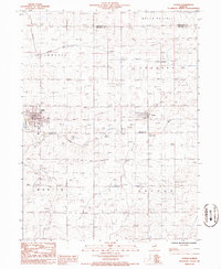
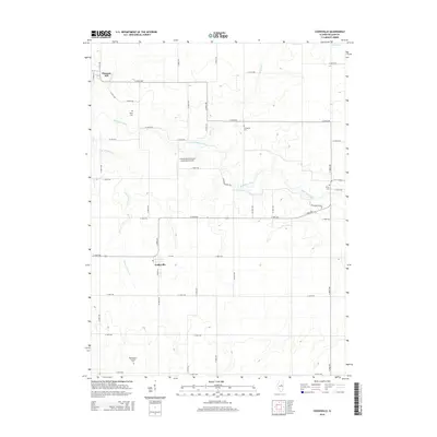
 1986 Cooksville1986 Print · USGSMcLean County farmland remains the focus of this mid-eighties survey as it traces the rural townships surrounding Cooksville. Researchers can locate family landmarks such as the Cem, the small settlement of Pleasant Hill, and the winding Mackinaw River.
 - 1986 Map of Colfax
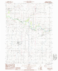
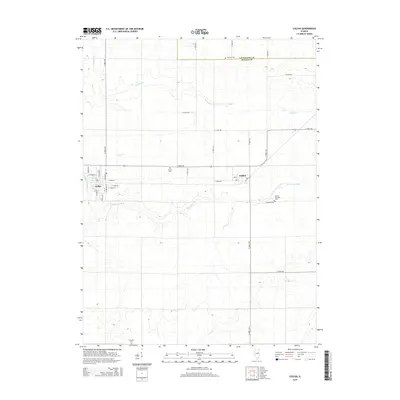
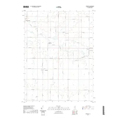
 1986 Colfax1986 Print · USGSMcLean and Livingston counties are captured here in the mid-1980s as a landscape of steady agricultural life and quiet township centers. Researchers can trace rural property lines and community hubs like Colfax, Anchor, and the winding Mackinaw River.
 - 1990 Map of Peoria
 1990 Peoria1990 Print · USGSCentral Illinois at the start of the nineties reveals a landscape of industrial river towns and sprawling university campuses. Researchers can trace the legacy of major institutions like Chanute Air Force Base and the University of Illinois alongside regional landmarks such as Sand Ridge State Forest.
 - 2012 Map of Cooksville, 2012 Print
 2012 Cooksville2012 Print · USGSCovers Colfax, including Cooksville, Pleasant Hill, and other nearby areas
 - 2012 Map of Colfax, 2012 Print
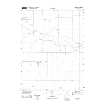
 2012 Colfax2012 Print · USGSCovers Colfax, including Anchor, McLean County, and other nearby areas
 - 2015 Map of Cooksville, 2015 Print
 2015 Cooksville2015 Print · USGSCovers Colfax, including Cooksville, Pleasant Hill, and other nearby areas
 - 2015 Map of Colfax, 2015 Print
 2015 Colfax2015 Print · USGSCovers Colfax, including Anchor, McLean County, and other nearby areas
 - 2018 Map of Colfax, 2018 Print
 2018 Colfax2018 Print · USGSCovers Colfax, including Anchor, McLean County, and other nearby areas
 - 2018 Map of Cooksville, 2018 Print
 2018 Cooksville2018 Print · USGSCovers Colfax, including Cooksville, Pleasant Hill, and other nearby areas
 - 2021 Map of Cooksville, 2021 Print
 2021 Cooksville2021 Print · USGSCovers Colfax, including Cooksville, Pleasant Hill, and other nearby areas
 - 2021 Map of Colfax, 2021 Print
 2021 Colfax2021 Print · USGSCovers Colfax, including Anchor, McLean County, and other nearby areas
 - 2024 Map of Cooksville, 2024 Print
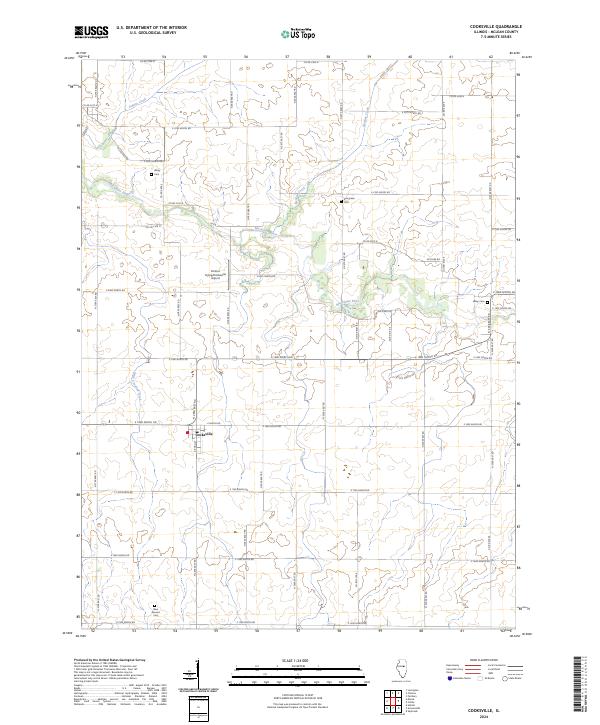 2024 Cooksville2024 Print · USGSMcLean County prairie land is mapped here in the modern era, centered on the village of Cooksville. Genealogists and local historians can trace family roots through sites like Wiley Cem, Evergreen Cem, and the rural drainage of the Mackinaw River.
 - 2024 Map of Colfax, 2024 Print
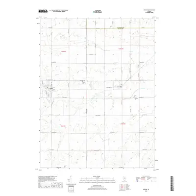
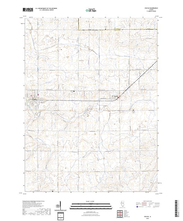 2024 Colfax2024 Print · USGSMcLean County's eastern prairie reaches are captured here in the early twenty-first century, showing the enduring grid of central Illinois farm country. Researchers can trace local lineages through Antioch Cem and Plymouth Cem or locate homesites near Colfax and Anchor.
End of results
Showing maps 1-18 of 18
Top cities near Colfax
- Fairbury historical maps
- Le Roy historical maps
- Gibson City historical maps
- Lexington historical maps
- Chenoa historical maps
- Forrest historical maps
See more
Frequently asked questions
- What are the different types of historical maps available for Colfax?
- What is the oldest map of Colfax?
- Where can I purchase historical maps of Colfax for my home or office?
- Where can I download high-res historical maps of Colfax?
- Are there historical topographic maps available for Colfax?
- Is there historical aerial imagery available for Colfax?
- Where are historical maps of Colfax sourced from?