Old Maps of Joy, Illinois
Explore 22 old maps of Joy, spanning from 1935 to today. These high-resolution historic maps reveal how streets, neighborhoods, landmarks, and natural features evolved over time — perfect for genealogy, metal detecting, research, and local history exploration.
What you can do with these maps:
- See how Joy changed over time: Compare historical maps to modern-day views to trace roads, homesites, rail lines & more.
- View detailed metadata: Each map includes creators, publishers, year, scale, and archive source.
- Overlay maps with satellite & LiDAR: Visualize the past alongside modern tools to explore terrain & human change.
- Trusted historical sources: Maps sourced from the USGS, Library of Congress, and other archives.
- Access maps your way: View online, download high-res files, or order prints for personal or research use.
Start exploring old maps of Joy to uncover forgotten places, hidden landmarks, and the deep history beneath your feet.
Joy, IL maps
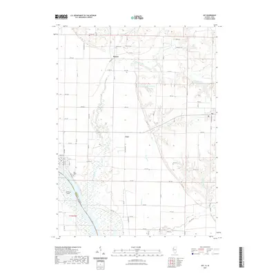
(22)- 1935 Map of Keithsburg
 1935 Keithsburg1935 Print · USGSMercer County during the mid-thirties reveals a landscape of river towns and railroad junctions along the Mississippi. Genealogists and local historians can trace rural roots at Peniel Ch, Brick Cem, and numerous schoolhouses like Hazel Dell Sch.4 unique versions available
 - 1941 Map of Keithsburg
 1941 Keithsburg1941 Print · USGSThe Mississippi River front in Mercer County thrived during the early 1940s as a hub of rail and river commerce. Genealogists can trace family footprints through dozens of rural landmarks, from Peniel Ch to schoolhouses like Prouty Sch and Lee Sch.2 unique versions available
 - 1953 Map of Joy, 1958 Print
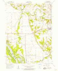 1953 Joy1958 Print · USGSMercer County, Illinois, is captured in the early 1950s as the rail and river landscape of New Boston and Joy continued to evolve. Researchers can locate rural landmarks like Lone Star School, Shields Cemetery, and the path of the dismantled railroad.2 unique versions available
 - 1953 Map of Aledo West, 1958 Print
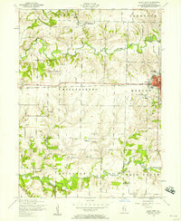 1953 Aledo West1958 Print · USGSMercer County farmland in the early fifties shows a landscape of busy rural townships and established schools. Researchers can locate the Roosevelt Military Academy in Aledo or trace family sites like Griffith Cemetery and Peniel Church.2 unique versions available
 - 1958 Map of Davenport, 1968 Print
 1958 Davenport1968 Print · USGSEastern Iowa and western Illinois thrive along the river during the late fifties, defined by the industrial Quad Cities and a robust rail network. Genealogists can trace family roots through settlements like Oasis and Stanwood or along the Cedar River.2 unique versions available
 - 1961 Map of Davenport
 1961 Davenport1961 Print · USGSThe Quad Cities and the eastern Iowa riverlands are captured here in the early sixties, showing the region's transition into a modern industrial and transit hub. Genealogists and historians can trace the paths of major railroads and find river landmarks like Rock Island Arsenal, Huron Island, and the Coralville Reservoir.
 - 1962 Map of Davenport
 1962 Davenport1962 Print · USGSThe Quad Cities and the Mississippi River corridor are shown at their industrial peak just before the interstate era fully transformed the region. Researchers can trace the sprawling rail networks of the Chicago Rock Island and Pacific and find landmarks like the Rock Island Arsenal and Wild Cat Den State Park.
 - 1984 Map of Aledo, 1985 Print
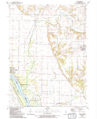
 1984 Aledo1985 Print · USGSThe Mississippi River borderlands and Illinois heartland are captured here in the mid-eighties as industry and agriculture overlap. Trace the Hennepin Canal, the historic Swedish colony at Bishop Hill, and the rail corridors of the Burlington Northern.
 - 1989 Map of Aledo
 1989 Aledo1989 Print · USGSWestern Illinois and eastern Iowa are shown here during the late twentieth century, when the river-and-rail economy still defined the Quad Cities and the surrounding prairie. Researchers can trace historic settlements like Bishop Hill and Millersburg alongside active routes like the Chicago Rock Island & Pacific RR.
 - 1991 Map of Joy, 1992 Print
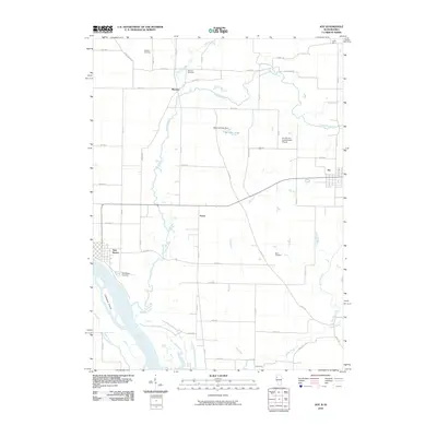
 1991 Joy1992 Print · USGSMercer County, Illinois, is documented here in the early 1990s, showing the agricultural plains and the intricate wetlands of the Mississippi River. Genealogists can locate family landmarks like Shields Cem and Davis Cem or trace the Old Railroad Grade through Arpee.
 - 1992 Map of Aledo West
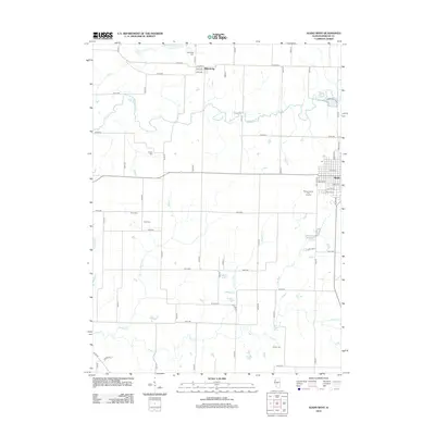
 1992 Aledo West1992 Print · USGSMercer County at the close of the twentieth century shows a landscape of steady agricultural roots and transitioning infrastructure. Genealogists and local historians can pinpoint Oak Ridge Cem, the western edge of Aledo, and the Old Railroad Grade as it appeared before further development.
 - 2010 Map of Joy, 2010 Print
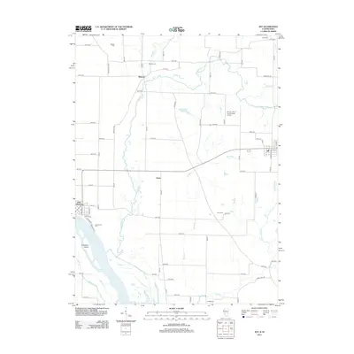
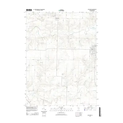
 2010 Joy2010 Print · USGSCovers Joy, including New Boston, Mannon, and other nearby areas
 - 2012 Map of Joy, 2012 Print
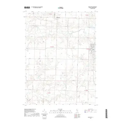
 2012 Joy2012 Print · USGSCovers Joy, including New Boston, Mannon, and other nearby areas
 - 2012 Map of Aledo West, 2012 Print
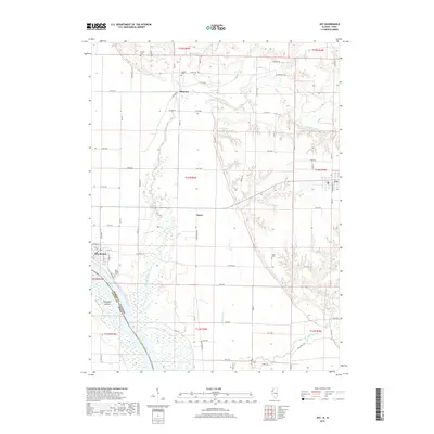
 2012 Aledo West2012 Print · USGSCovers Joy, including Aledo, Millersburg, and other nearby areas
 - 2015 Map of Joy, 2015 Print
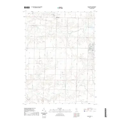
 2015 Joy2015 Print · USGSCovers Joy, including New Boston, Mannon, and other nearby areas
 - 2015 Map of Aledo West, 2015 Print
 2015 Aledo West2015 Print · USGSCovers Joy, including Aledo, Millersburg, and other nearby areas
 - 2018 Map of Aledo West, 2018 Print
 2018 Aledo West2018 Print · USGSCovers Joy, including Aledo, Millersburg, and other nearby areas
 - 2018 Map of Joy, 2018 Print
 2018 Joy2018 Print · USGSCovers Joy, including New Boston, Mannon, and other nearby areas
 - 2021 Map of Aledo West, 2021 Print
 2021 Aledo West2021 Print · USGSCovers Joy, including Aledo, Millersburg, and other nearby areas
 - 2021 Map of Joy, 2021 Print
 2021 Joy2021 Print · USGSCovers Joy, including New Boston, Mannon, and other nearby areas
 - 2024 Map of Aledo West, 2024 Print
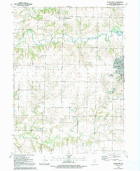
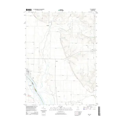
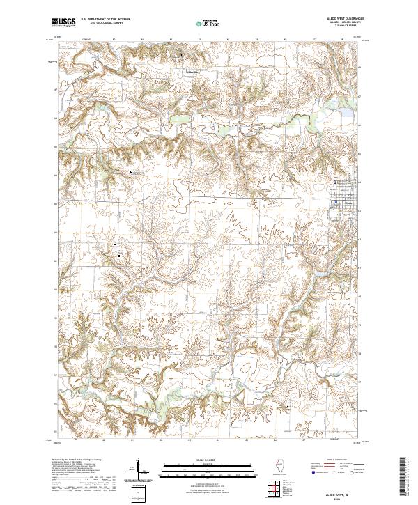 2024 Aledo West2024 Print · USGSMercer County's prairie landscapes and stream valleys are captured here in the contemporary era. Genealogists can locate rural burying grounds like Peniel Cem and Candor Cem while tracing the winding course of the Edwards River.
 - 2024 Map of Joy, 2024 Print
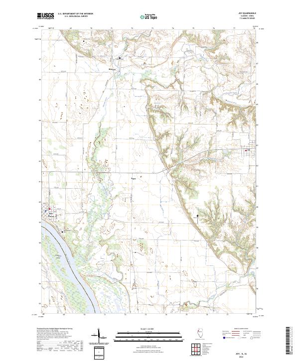 2024 Joy2024 Print · USGSThe riverfront at New Boston and the interior prairies of Mercer County come alive in this recent survey. Genealogists and local historians can trace the roads to Mannon, Arpee, and Joy, or locate family sites at Shields Cem and New Boston Cem.
End of results
Showing maps 1-22 of 22
Top cities near Joy
- Muscatine historical maps
- Aledo historical maps
- Edgington historical maps
- Buffalo Prairie historical maps
- Millersburg historical maps
- Keithsburg historical maps
See more
Frequently asked questions
- What are the different types of historical maps available for Joy?
- What is the oldest map of Joy?
- Where can I purchase historical maps of Joy for my home or office?
- Where can I download high-res historical maps of Joy?
- Are there historical topographic maps available for Joy?
- Is there historical aerial imagery available for Joy?
- Where are historical maps of Joy sourced from?