Old Maps of Renault, Illinois for Academic Research
Study the evolution of Renault with 14 high-resolution historic maps. Whether you're teaching, researching, or modeling changes in land use, these maps provide essential visual documentation of urban, environmental, and geographic change.
- Analyze long-term change: Track patterns in development, transportation, and natural features.
- Ideal for environmental or urban studies: Support academic projects with primary historical map data.
- Use in the classroom or lab: Educators and researchers rely on these maps to bring historical context to life.
These maps are a powerful tool for teaching, research, and visualizing how Renault has changed over the decades.
Renault, IL maps
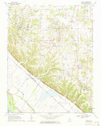
(14)- 1915 Map of Renault
 1915 Renault1915 Print · USGSThe Illinois river bluffs and the American Bottom appear here in the early twentieth century as a landscape of thriving rail-side villages and rural schools. You can trace early family sites like Stuptown Church, the historic Ruma Convent, and landings at Prairie du Rocher.4 unique versions available
 - 1940 Map of Renault, 1955 Print
 1940 Renault1955 Print · USGSThe Illinois-Missouri borderlands come to life in the 1940s, highlighting the river-driven economy and rural community structure of the Mississippi valley. Genealogists can trace family footprints through dozens of local landmarks, from the Ruma Convent to historic schoolhouses like Yankeetown School and Foster School.2 unique versions available
 - 1949 Map of Saint Louis
 1949 Saint Louis1949 Print · USGSGreater St. Louis and its surrounding river valleys are captured here just after the war, showing the metropolitan core and the rural Ozark fringe. Researchers can trace the sprawling rail network of the Wabash RR or locate landmarks like Meramec Caverns Airport and Scott Air Force Base.2 unique versions available
 - 1962 Map of St. Louis
 1962 St. Louis1962 Print · USGSThe mid-century gateway to the west shows the metropolitan expansion of St Louis alongside its critical river confluences. Genealogists and historians can trace the rail corridors of the Missouri Pacific RR and settlements from Fulton to De Soto.
 - 1963 Map of St. Louis, 1970 Print
 1963 St. Louis1970 Print · USGSSt. Louis and its surrounding river valleys are captured here during the peak of mid-century suburban expansion and industrial activity. Trace the historic rail routes of the Norfolk and Western Ry or locate the St Louis Ordnance Plant and early stretches of US Highway 66.4 unique versions available
 - 1966 Map of St. Louis
 1966 St. Louis1966 Print · USGSThe St. Louis metropolitan area and its surrounding river valleys are captured here during the mid-sixties era of suburban growth and industrial strength. Genealogists and historians can trace the foundations of local communities through sites like Old Pioneer Cem, Parks College, and the Jefferson Barracks Military Reservation.
 - 1970 Map of Renault, 1972 Print
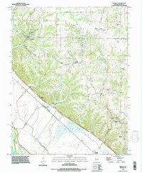
 1970 Renault1972 Print · USGSMonroe County settlements sit poised between the rugged bluffs and the river bottoms in the early seventies. Genealogists and historians can trace the sites of St Marys Cem, Grant Pass Cem, and the old rail siding at Renault (Station).2 unique versions available
 - 1985 Map of Festus, 1987 Print
 1985 Festus1987 Print · USGSThe Mississippi River corridor and Ozark foothills appear here in the mid-1980s, documenting a landscape of industrial river towns and forest preserves. Trace the development of Festus, Crystal City, and De Soto or locate sites like Mastodon State Park.
 - 1993 Map of Renault, 1996 Print
 1993 Renault1996 Print · USGSIn the 1990s, this portion of Monroe County showcases the sharp transition from the uplands of Maeystown to the river bottoms. Researchers can locate family sites at St Johns Cemetery and Zion Cemetery or trace the karst features of Saltpeter Cave.
 - 2012 Map of Renault, 2012 Print
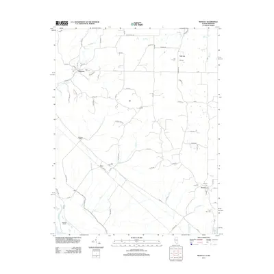 2012 Renault2012 Print · USGSCovers Renault, including Maeystown, Fults, and other nearby areas
 - 2015 Map of Renault, 2015 Print
 2015 Renault2015 Print · USGSCovers Renault, including Maeystown, Fults, and other nearby areas
 - 2018 Map of Renault, 2018 Print
 2018 Renault2018 Print · USGSCovers Renault, including Maeystown, Fults, and other nearby areas
 - 2021 Map of Renault, 2021 Print
 2021 Renault2021 Print · USGSCovers Renault, including Maeystown, Fults, and other nearby areas
 - 2024 Map of Renault, 2024 Print
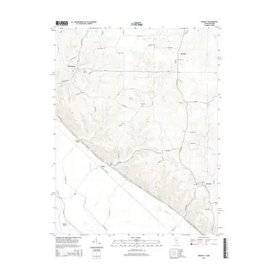
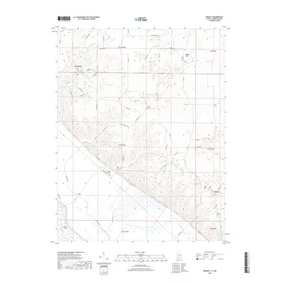
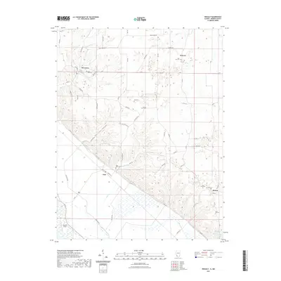
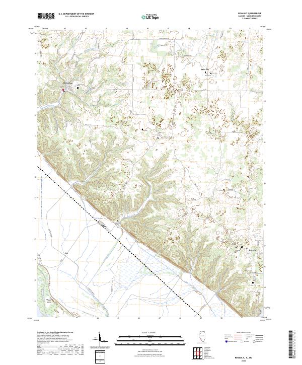 2024 Renault2024 Print · USGSMonroe County's rugged bluff country and river bottoms are captured here in the early twenty-first century. Researchers can locate several historic burial sites like Dick Cem and Studt Cem alongside settlements at Maeystown and Fults.
End of results
Showing maps 1-14 of 14
Top cities near Renault
- Waterloo historical maps
- Crystal City historical maps
- Sainte Genevieve historical maps
- Smithton historical maps
- Red Bud historical maps
- Valmeyer historical maps
See more
Frequently asked questions
- What are the different types of historical maps available for Renault?
- What is the oldest map of Renault?
- Where can I purchase historical maps of Renault for my home or office?
- Where can I download high-res historical maps of Renault?
- Are there historical topographic maps available for Renault?
- Is there historical aerial imagery available for Renault?
- Where are historical maps of Renault sourced from?